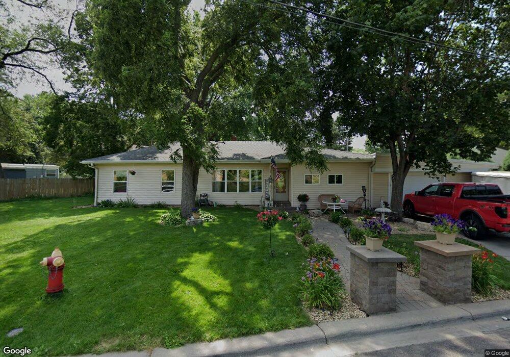
315 Point Douglas Rd N Saint Paul, MN 55106
Dayton's Bluff NeighborhoodEstimated Value: $301,000 - $377,000
6
Beds
3
Baths
2,552
Sq Ft
$137/Sq Ft
Est. Value
About This Home
This home is located at 315 Point Douglas Rd N, Saint Paul, MN 55106 and is currently estimated at $349,906, approximately $137 per square foot. 315 Point Douglas Rd N is a home located in Ramsey County with nearby schools including Dayton's Bluff Achievement Plus Elementary School, Battle Creek Middle School, and Harding Senior High School.
Ownership History
Date
Name
Owned For
Owner Type
Purchase Details
Closed on
Apr 30, 2020
Sold by
Corado Zuleyma M and Mendoza Felix A
Bought by
Corado Zuleyma Magdalena and Mendoza Felix Armando
Current Estimated Value
Purchase Details
Closed on
Jun 25, 2014
Sold by
Garcia Magali
Bought by
Corado Zuleyma M
Purchase Details
Closed on
Jun 13, 2003
Sold by
Hill Marvin D and Hill Wanda J
Bought by
Corado Zuleyma and Garcia Magali
Create a Home Valuation Report for This Property
The Home Valuation Report is an in-depth analysis detailing your home's value as well as a comparison with similar homes in the area
Home Values in the Area
Average Home Value in this Area
Purchase History
| Date | Buyer | Sale Price | Title Company |
|---|---|---|---|
| Corado Zuleyma Magdalena | -- | None Available | |
| Corado Zuleyma Maddalena | -- | None Available | |
| Corado Zuleyma M | $515 | None Available | |
| Corado Zuleyma | $179,650 | -- |
Source: Public Records
Tax History Compared to Growth
Tax History
| Year | Tax Paid | Tax Assessment Tax Assessment Total Assessment is a certain percentage of the fair market value that is determined by local assessors to be the total taxable value of land and additions on the property. | Land | Improvement |
|---|---|---|---|---|
| 2025 | $5,030 | $339,600 | $35,400 | $304,200 |
| 2023 | $5,030 | $300,700 | $22,700 | $278,000 |
| 2022 | $4,918 | $337,500 | $22,700 | $314,800 |
| 2021 | $4,204 | $280,900 | $22,700 | $258,200 |
| 2020 | $4,272 | $246,500 | $22,700 | $223,800 |
| 2019 | $4,148 | $233,800 | $22,700 | $211,100 |
| 2018 | $3,498 | $224,100 | $22,700 | $201,400 |
| 2017 | $3,416 | $200,200 | $22,700 | $177,500 |
| 2016 | $3,626 | $0 | $0 | $0 |
| 2015 | $3,074 | $181,500 | $19,900 | $161,600 |
| 2014 | $2,982 | $0 | $0 | $0 |
Source: Public Records
Map
Nearby Homes
- 271 English St
- 1333 Pacific St
- 401 Johnson Pkwy
- 244 Point Douglas Rd N
- 1257 Wilson Ave
- 1269 Wilson Ave
- 1320 Wilson Ave
- 1102 Pacific St
- 1051 Mclean Ave
- 1076 Wilson Ave
- 1097 Euclid St
- 1443 Pacific St
- 1005 Mclean Ave
- 1020 Wilson Ave
- 1351 3rd St E
- 1303 Fremont Ave
- 995 Wakefield Ave
- 1056 3rd St E
- 1363 4th St E
- 201 Dora Ct W
- 321 Point Douglas Rd N
- 1241 Mclean Ave
- 303 Johnson Pkwy
- 1235 Mclean Ave
- 325 Point Douglas Rd N
- 1229 Mclean Ave
- 1229 1229 McLean-avenue-
- 1223 Mclean Ave
- 329 Point Douglas Rd N
- 329 329 Point Douglas Rd N
- 1219 Mclean Ave
- 1214 Pacific St
- 1240 Mclean Ave
- 1215 Mclean Ave
- 1246 Mclean Ave
- 1234 Mclean Ave
- 1252 Mclean Ave
- 1211 Mclean Ave
- 1210 Pacific St
- 1228 Mclean Ave