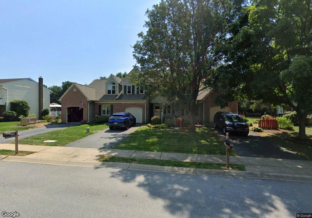
3202 Glengreen Dr Lancaster, PA 17601
Oyster Point NeighborhoodEstimated Value: $263,000 - $352,000
2
Beds
3
Baths
2,118
Sq Ft
$149/Sq Ft
Est. Value
About This Home
This home is located at 3202 Glengreen Dr, Lancaster, PA 17601 and is currently estimated at $316,438, approximately $149 per square foot. 3202 Glengreen Dr is a home located in Lancaster County with nearby schools including Landisville Primary Center, Landisville Middle School, and Hempfield High School.
Ownership History
Date
Name
Owned For
Owner Type
Purchase Details
Closed on
May 4, 2016
Sold by
Engle Jeremy P
Bought by
Miller Kevin G
Current Estimated Value
Purchase Details
Closed on
May 31, 2002
Sold by
Trout Thu Hang and Dickenson Thu Hang
Bought by
Engle Jeremy P
Home Financials for this Owner
Home Financials are based on the most recent Mortgage that was taken out on this home.
Original Mortgage
$91,800
Interest Rate
7%
Create a Home Valuation Report for This Property
The Home Valuation Report is an in-depth analysis detailing your home's value as well as a comparison with similar homes in the area
Home Values in the Area
Average Home Value in this Area
Purchase History
We collect this data history from publicly available records. To have your information removed, we recommend requesting removal directly through your county’s website.
| Date | Buyer | Sale Price | Title Company |
|---|---|---|---|
| Miller Kevin G | $115,000 | Attorney | |
| Engle Jeremy P | $114,900 | -- |
Source: Public Records
Mortgage History
We collect this data history from publicly available records. To have your information removed, we recommend requesting removal directly through your county’s website.
| Date | Status | Borrower | Loan Amount |
|---|---|---|---|
| Previous Owner | Engle Jeremy P | $91,800 | |
| Closed | Engle Jeremy P | $17,235 |
Source: Public Records
Tax History
| Year | Tax Paid | Tax Assessment Tax Assessment Total Assessment is a certain percentage of the fair market value that is determined by local assessors to be the total taxable value of land and additions on the property. | Land | Improvement |
|---|---|---|---|---|
| 2025 | $3,908 | $173,300 | $21,600 | $151,700 |
| 2024 | $3,908 | $173,300 | $21,600 | $151,700 |
| 2023 | $3,833 | $173,300 | $21,600 | $151,700 |
| 2022 | $3,732 | $173,300 | $21,600 | $151,700 |
| 2021 | $3,658 | $173,300 | $21,600 | $151,700 |
| 2020 | $3,658 | $173,300 | $21,600 | $151,700 |
| 2019 | $3,598 | $173,300 | $21,600 | $151,700 |
| 2018 | $756 | $173,300 | $21,600 | $151,700 |
| 2017 | $3,291 | $128,000 | $32,200 | $95,800 |
| 2016 | $3,225 | $128,000 | $32,200 | $95,800 |
| 2015 | $650 | $128,000 | $32,200 | $95,800 |
| 2014 | $2,491 | $128,000 | $32,200 | $95,800 |
Source: Public Records
Map
Nearby Homes
- 3183 Thornapple Dr
- 3051 Todd Ln
- 3063 Buckthorn Dr
- 3030 Todd Ln
- 25 Beechtree Ln
- 3270 Briarwood Blvd
- 3339 Pin Oak Cir
- 501 Bald Eagle Ct
- 516 Bald Eagle Ct
- 6 Bellevue Ct
- 3405 Columbia Ave
- 725 Oxford Rd
- 22 Madge Dr
- 115 College Ave
- 36 Peacock Dr
- 404 E New St
- 319 Druid Hill Rd
- 143 Acorn Ln
- 26 E Main St
- 852 Christine Ln
- 3214 Glengreen Dr
- 3204 Glengreen Dr
- 3218 Glengreen Dr
- 3220 Oakglen Ct
- 3200 Glengreen Dr
- 3222 Oakglen Ct
- 3198 Glengreen Dr
- 3224 Oakglen Ct
- 3211 Glengreen Dr
- 3226 Oakglen Ct
- 3205 Glengreen Dr
- 3222 Glengreen Dr
- 3201 Glengreen Dr
- 3196 Glengreen Dr
- 3195 Glengreen Dr
- 3224 Glengreen Dr
- 3230 Oakglen Ct
- 3228 Pinewyn Cir
- 3226 Glengreen Dr
- 3226 Pinewyn Cir
Your Personal Tour Guide
Ask me questions while you tour the home.