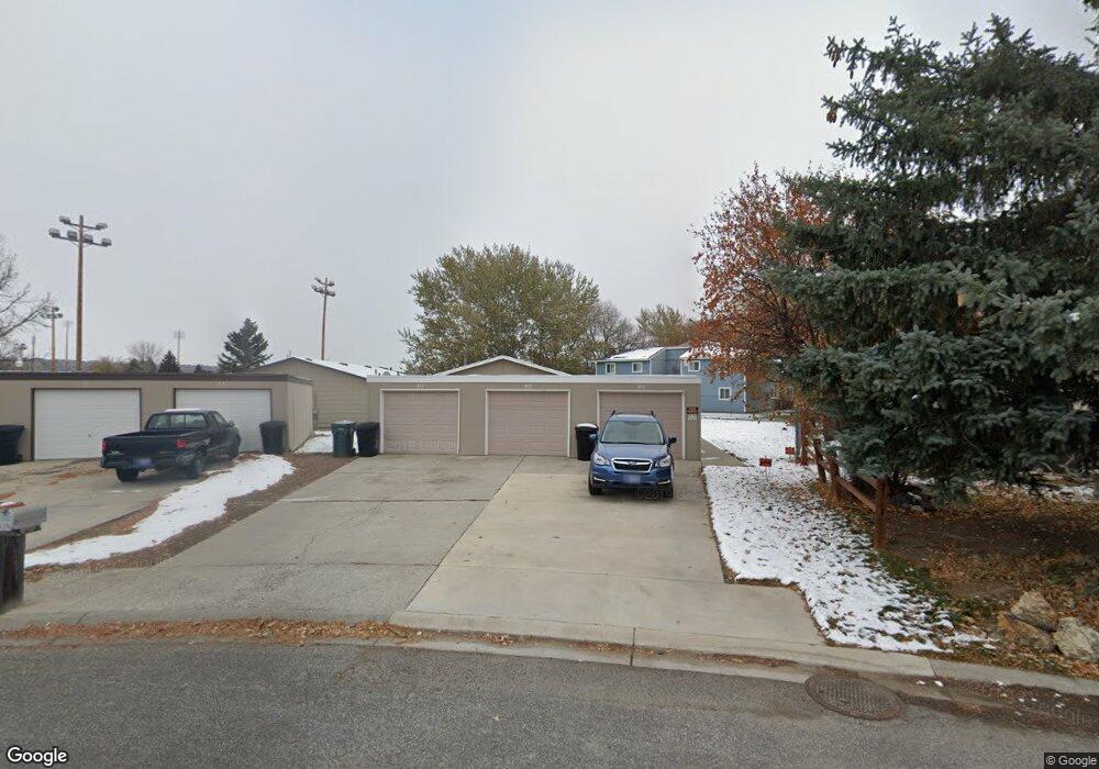
321 Phyllis Cir E Billings, MT 59102
West End NeighborhoodEstimated Value: $363,000 - $1,015,000
6
Beds
6
Baths
1,680
Sq Ft
$346/Sq Ft
Est. Value
About This Home
This home is located at 321 Phyllis Cir E, Billings, MT 59102 and is currently estimated at $581,000, approximately $345 per square foot. 321 Phyllis Cir E is a home located in Yellowstone County with nearby schools including Central Heights School, Will James Junior High School, and Billings West High School.
Ownership History
Date
Name
Owned For
Owner Type
Purchase Details
Closed on
Aug 20, 2010
Sold by
Fergen Todd J
Bought by
Rupp Randall C and Rupp Laurel A
Current Estimated Value
Home Financials for this Owner
Home Financials are based on the most recent Mortgage that was taken out on this home.
Original Mortgage
$99,000
Outstanding Balance
$65,349
Interest Rate
4.51%
Mortgage Type
New Conventional
Estimated Equity
$515,651
Create a Home Valuation Report for This Property
The Home Valuation Report is an in-depth analysis detailing your home's value as well as a comparison with similar homes in the area
Home Values in the Area
Average Home Value in this Area
Purchase History
| Date | Buyer | Sale Price | Title Company |
|---|---|---|---|
| Rupp Randall C | -- | None Available |
Source: Public Records
Mortgage History
| Date | Status | Borrower | Loan Amount |
|---|---|---|---|
| Open | Rupp Randall C | $99,000 |
Source: Public Records
Tax History
| Year | Tax Paid | Tax Assessment Tax Assessment Total Assessment is a certain percentage of the fair market value that is determined by local assessors to be the total taxable value of land and additions on the property. | Land | Improvement |
|---|---|---|---|---|
| 2025 | $2,752 | $330,800 | $91,285 | $239,515 |
| 2024 | $2,752 | $273,400 | $57,205 | $216,195 |
| 2023 | $2,752 | $273,400 | $57,205 | $216,195 |
| 2022 | $1,923 | $203,700 | $0 | $0 |
| 2021 | $2,177 | $203,700 | $0 | $0 |
| 2020 | $2,285 | $199,700 | $0 | $0 |
| 2019 | $2,182 | $199,700 | $0 | $0 |
| 2018 | $2,032 | $181,300 | $0 | $0 |
| 2017 | $1,679 | $181,300 | $0 | $0 |
| 2016 | $1,675 | $153,100 | $0 | $0 |
| 2015 | $1,638 | $153,100 | $0 | $0 |
| 2014 | $1,344 | $64,978 | $0 | $0 |
Source: Public Records
Map
Nearby Homes
- 2 Rodeo Place
- 10 Prairie View Dr
- 98 Cache Dr
- 14 Bonanza Dr
- 5 Vista Dr
- 2 Mcbride St
- 370 Delta Cir
- 15 Mountain Side Cir
- 3087 Hunters Ridge Loop
- 3121 New Hope Dr
- 3121 New Hope Dr Unit 9
- 2930 Lynn Ave
- 3175 Solar Blvd Unit 14
- 3138 Georgina Dr
- 499 Greenspring Place
- 3285 Canyon Dr
- 2422 Miles Ave
- 3136 Saint Johns Ave
- 3142 Saint Johns Ave
- 3214 Lynn Ave
- 311 Phyllis Cir E
- 331 Phyllis Cir E
- 2711 Phyllis Cir N
- 341 Phyllis Cir E
- 2721 Phyllis Cir N
- 2722 Phyllis Cir N
- 332 Phyllis Cir E
- 2731 Phyllis Cir N
- 342 Phyllis Cir E
- 2741 Phyllis Cir N
- 352 Phyllis Cir E
- 2751 Phyllis Cir N
- 2601 Phyllis Ln
- 2764 Phyllis Cir N
- 2761 Phyllis Cir N
- 2681 Monad Rd
- 2762 Phyllis Cir N
- 371 Phyllis Cir E
- 2771 Phyllis Cir N
- 333 Phyllis Cir W
Your Personal Tour Guide
Ask me questions while you tour the home.