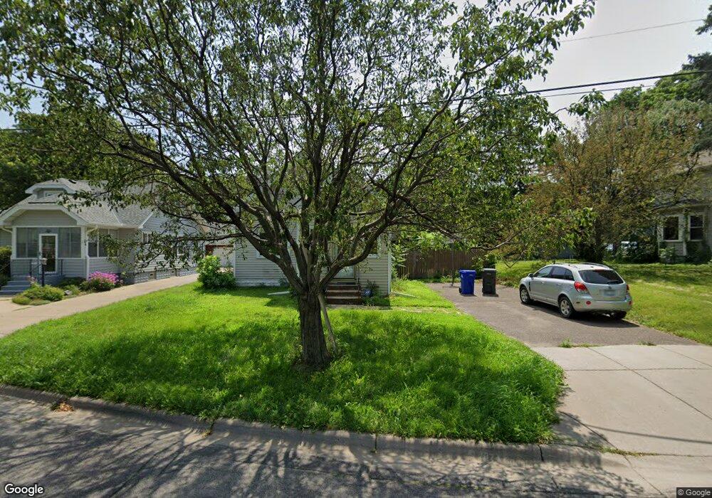
329 Point Douglas Rd N Saint Paul, MN 55106
Dayton's Bluff NeighborhoodEstimated Value: $280,651 - $304,000
3
Beds
3
Baths
1,565
Sq Ft
$186/Sq Ft
Est. Value
About This Home
This home is located at 329 Point Douglas Rd N, Saint Paul, MN 55106 and is currently estimated at $291,413, approximately $186 per square foot. 329 Point Douglas Rd N is a home located in Ramsey County with nearby schools including Dayton's Bluff Achievement Plus Elementary School, Battle Creek Middle School, and Harding Senior High School.
Ownership History
Date
Name
Owned For
Owner Type
Purchase Details
Closed on
Jul 6, 2017
Sold by
Drake John R and Drake John
Bought by
Yang Joseph A
Current Estimated Value
Home Financials for this Owner
Home Financials are based on the most recent Mortgage that was taken out on this home.
Original Mortgage
$188,522
Outstanding Balance
$156,716
Interest Rate
3.91%
Mortgage Type
FHA
Estimated Equity
$134,697
Purchase Details
Closed on
Mar 26, 2010
Sold by
U S Bank National Association
Bought by
Drake John R
Create a Home Valuation Report for This Property
The Home Valuation Report is an in-depth analysis detailing your home's value as well as a comparison with similar homes in the area
Home Values in the Area
Average Home Value in this Area
Purchase History
| Date | Buyer | Sale Price | Title Company |
|---|---|---|---|
| Yang Joseph A | $197,818 | First American Title | |
| Drake John R | $139,000 | -- |
Source: Public Records
Mortgage History
| Date | Status | Borrower | Loan Amount |
|---|---|---|---|
| Open | Yang Joseph A | $188,522 |
Source: Public Records
Tax History Compared to Growth
Tax History
| Year | Tax Paid | Tax Assessment Tax Assessment Total Assessment is a certain percentage of the fair market value that is determined by local assessors to be the total taxable value of land and additions on the property. | Land | Improvement |
|---|---|---|---|---|
| 2025 | $4,494 | $276,100 | $29,700 | $246,400 |
| 2023 | $4,494 | $289,600 | $19,000 | $270,600 |
| 2022 | $3,508 | $277,100 | $19,000 | $258,100 |
| 2021 | $2,960 | $228,700 | $19,000 | $209,700 |
| 2020 | $3,178 | $203,100 | $19,000 | $184,100 |
| 2019 | $2,988 | $203,200 | $19,000 | $184,200 |
| 2018 | $2,566 | $189,800 | $19,000 | $170,800 |
| 2017 | $2,810 | $163,600 | $19,000 | $144,600 |
| 2016 | $2,548 | $0 | $0 | $0 |
| 2015 | $2,388 | $149,000 | $17,600 | $131,400 |
| 2014 | $1,604 | $0 | $0 | $0 |
Source: Public Records
Map
Nearby Homes
- 271 English St
- 401 Johnson Pkwy
- 1102 Pacific St
- 1257 Wilson Ave
- 1333 Pacific St
- 1269 Wilson Ave
- 244 Point Douglas Rd N
- 1320 Wilson Ave
- 1051 Mclean Ave
- 1076 Wilson Ave
- 1097 Euclid St
- 1005 Mclean Ave
- 1020 Wilson Ave
- 1443 Pacific St
- 995 Wakefield Ave
- 1351 3rd St E
- 1056 3rd St E
- 1303 Fremont Ave
- 1363 4th St E
- 1026 Fremont Ave
- 329 329 Point Douglas Rd N
- 1214 Pacific St
- 325 Point Douglas Rd N
- 1210 Pacific St
- 321 Point Douglas Rd N
- 1206 Pacific St
- 1219 Mclean Ave
- 1223 Mclean Ave
- 1215 Mclean Ave
- 1229 Mclean Ave
- 1229 1229 McLean-avenue-
- 1211 Mclean Ave
- 1235 Mclean Ave
- 1205 Mclean Ave
- 315 Point Douglas Rd N
- 1241 Mclean Ave
- 1204 Pacific St
- 1201 Mclean Ave
- 303 Johnson Pkwy
- 1194 Pacific St