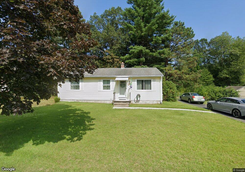
33 Bamforth Rd Springfield, MA 01128
Sixteen Acres NeighborhoodEstimated Value: $297,878 - $316,000
3
Beds
1
Bath
988
Sq Ft
$307/Sq Ft
Est. Value
About This Home
This home is located at 33 Bamforth Rd, Springfield, MA 01128 and is currently estimated at $303,470, approximately $307 per square foot. 33 Bamforth Rd is a home located in Hampden County with nearby schools including Daniel B Brunton, M Marcus Kiley Middle, and Springfield High School of Science and Technology.
Ownership History
Date
Name
Owned For
Owner Type
Purchase Details
Closed on
Aug 31, 1995
Sold by
Galbraith Ronald A
Bought by
Maccini John J and Maccini Cathleen A
Current Estimated Value
Home Financials for this Owner
Home Financials are based on the most recent Mortgage that was taken out on this home.
Original Mortgage
$79,550
Interest Rate
7.61%
Mortgage Type
Purchase Money Mortgage
Create a Home Valuation Report for This Property
The Home Valuation Report is an in-depth analysis detailing your home's value as well as a comparison with similar homes in the area
Home Values in the Area
Average Home Value in this Area
Purchase History
| Date | Buyer | Sale Price | Title Company |
|---|---|---|---|
| Maccini John J | $78,000 | -- |
Source: Public Records
Mortgage History
| Date | Status | Borrower | Loan Amount |
|---|---|---|---|
| Closed | Maccini John J | $79,550 | |
| Previous Owner | Maccini John J | $20,000 |
Source: Public Records
Tax History
| Year | Tax Paid | Tax Assessment Tax Assessment Total Assessment is a certain percentage of the fair market value that is determined by local assessors to be the total taxable value of land and additions on the property. | Land | Improvement |
|---|---|---|---|---|
| 2025 | $3,528 | $225,000 | $61,800 | $163,200 |
| 2024 | $3,381 | $210,500 | $61,800 | $148,700 |
| 2023 | $3,234 | $189,700 | $58,800 | $130,900 |
| 2022 | $3,549 | $188,600 | $62,000 | $126,600 |
| 2021 | $2,986 | $158,000 | $56,400 | $101,600 |
| 2020 | $2,959 | $151,500 | $56,400 | $95,100 |
| 2019 | $2,924 | $148,600 | $56,400 | $92,200 |
| 2018 | $2,852 | $144,900 | $56,400 | $88,500 |
| 2017 | $2,644 | $134,500 | $56,400 | $78,100 |
| 2016 | $2,589 | $131,700 | $56,400 | $75,300 |
| 2015 | $2,551 | $129,700 | $56,400 | $73,300 |
Source: Public Records
Map
Nearby Homes
- 228 Acrebrook Rd
- 119 Acrebrook Rd
- 301 Tinkham Rd
- 25 Angelica Dr
- 23 Rachael St
- 60 Jeanne Marie St
- 17 Jeanne Marie St
- 17 Skyridge Ln
- 34 Flora St
- 140 Slumber Ln
- 2306 Wilbraham Rd
- 15 Pine Acre Rd
- 88 Senator St
- 1962 Allen St
- 46 Puritan Cir
- 86 Wildwood Ave
- 25 Laurelwood Ln
- Lot 37 Kane St
- 81 W Crystal Brook Dr
- 6 Brooklawn Rd
- 23 Bamforth Rd
- 180 Berard Cir
- 38 Bamforth Rd
- 28 Bamforth Rd
- 181 Berard Cir
- 15 Bamforth Rd
- 48 Bamforth Rd
- 18 Bamforth Rd
- 59 Bamforth Rd
- 234 Fair Oak Rd
- 111 Berard Cir
- 165 Berard Cir
- 5 Bamforth Rd
- 35 Berard Cir
- 25 Berard Cir
- 58 Bamforth Rd
- 8 Bamforth Rd
- 43 Berard Cir
- 43 Berard Cir Unit 1
- 246 Fair Oak Rd
Your Personal Tour Guide
Ask me questions while you tour the home.