3309 Party Ln Unit C70 Springfield, OH 45504
Cedar Hills/Broadview NeighborhoodEstimated Value: $155,575 - $171,000
2
Beds
2
Baths
1,179
Sq Ft
$139/Sq Ft
Est. Value
About This Home
This home is located at 3309 Party Ln Unit C70, Springfield, OH 45504 and is currently estimated at $164,394, approximately $139 per square foot. 3309 Party Ln Unit C70 is a home located in Clark County with nearby schools including Northwestern Elementary School, Northwestern Junior/Senior High School, and Ridgewood School.
Ownership History
Date
Name
Owned For
Owner Type
Purchase Details
Closed on
Oct 29, 2018
Sold by
Bok Paul F and Bok Linda A
Bought by
Frantz Elizabeth J
Current Estimated Value
Purchase Details
Closed on
Apr 12, 2012
Sold by
Baumgardner Ralph A and Baumgardner Eunice E
Bought by
Bok Paul F and Bok Linda A
Home Financials for this Owner
Home Financials are based on the most recent Mortgage that was taken out on this home.
Original Mortgage
$67,000
Interest Rate
3.9%
Mortgage Type
New Conventional
Purchase Details
Closed on
Jun 7, 2006
Sold by
Riggle Dale D and Riggle Gayle L
Bought by
Baumgardner Ralph A and Baumgardner Eunice E
Purchase Details
Closed on
Mar 19, 1999
Sold by
Bailey C Kenneth and Bailey Viola M
Bought by
Riggle Dale D and Riggle Gayle L
Home Financials for this Owner
Home Financials are based on the most recent Mortgage that was taken out on this home.
Original Mortgage
$69,750
Interest Rate
6.85%
Create a Home Valuation Report for This Property
The Home Valuation Report is an in-depth analysis detailing your home's value as well as a comparison with similar homes in the area
Home Values in the Area
Average Home Value in this Area
Purchase History
| Date | Buyer | Sale Price | Title Company |
|---|---|---|---|
| Frantz Elizabeth J | $97,500 | Ohio Real Estate Title Hold | |
| Bok Paul F | $78,500 | None Available | |
| Baumgardner Ralph A | $90,000 | None Available | |
| Riggle Dale D | $77,500 | -- |
Source: Public Records
Mortgage History
| Date | Status | Borrower | Loan Amount |
|---|---|---|---|
| Previous Owner | Bok Paul F | $67,000 | |
| Previous Owner | Riggle Dale D | $69,750 |
Source: Public Records
Tax History
| Year | Tax Paid | Tax Assessment Tax Assessment Total Assessment is a certain percentage of the fair market value that is determined by local assessors to be the total taxable value of land and additions on the property. | Land | Improvement |
|---|---|---|---|---|
| 2025 | $1,081 | $50,960 | $6,130 | $44,830 |
| 2024 | $1,056 | $32,280 | $5,560 | $26,720 |
| 2023 | $1,056 | $32,280 | $5,560 | $26,720 |
| 2022 | $1,104 | $32,280 | $5,560 | $26,720 |
| 2021 | $1,075 | $29,070 | $4,380 | $24,690 |
| 2020 | $1,086 | $29,070 | $4,380 | $24,690 |
| 2019 | $1,076 | $29,070 | $4,380 | $24,690 |
| 2018 | $1,152 | $21,430 | $4,990 | $16,440 |
| 2017 | $1,152 | $27,080 | $4,988 | $22,092 |
| 2016 | $1,130 | $27,080 | $4,988 | $22,092 |
| 2015 | $1,280 | $26,331 | $5,250 | $21,081 |
| 2014 | $1,279 | $26,331 | $5,250 | $21,081 |
| 2013 | $1,271 | $26,331 | $5,250 | $21,081 |
Source: Public Records
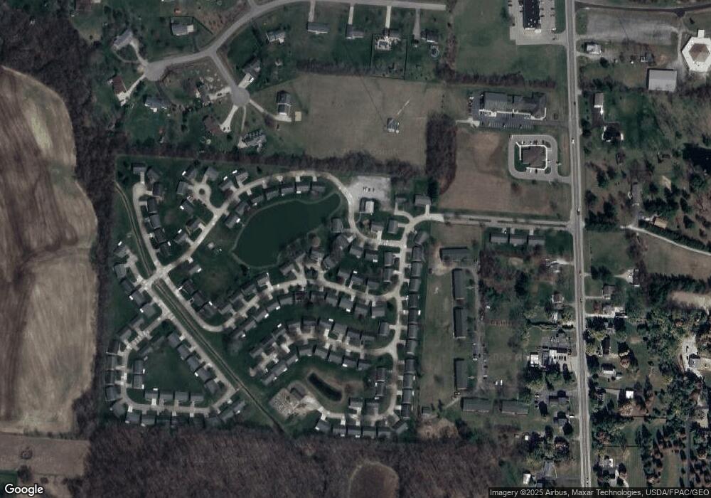
Map
Nearby Homes
- 3314 Scotsdale Dr
- 2137 Manhattan Blvd
- 3305 Turner Dr E
- 2639 Anita Dr
- 3145 Troy Rd
- 00 Upper Valley Pike
- 917 White Oak Dr
- 925 Upper Valley Pike
- 2743 Ironwood Dr
- 4472 Saint Paris Pike
- 2805 Cottonwood Dr
- 4328 Pine Tree Place
- 624 Aberfelda Dr
- 361 Upper Valley Pike
- 4211 Grey Stone Crossing
- 190 Oakridge Dr
- 3891 New Carlisle Pike
- 1015 Hillcrest Ave
- 0 Upper Valley Pike
- 4242 Upper Valley Pike
- 3303 Party Ln Unit C69
- 3315 Party Ln
- 3308 Scotsdale Dr Unit C65
- 3308 Scotsdale Dr
- 3308 Scotsdale Dr
- 3320 Scotsdale Dr
- 3320 Scotsdale Dr Unit C-63
- 3320 Scotsdale Dr Unit 3320
- 3320 Scotsdale Dr
- 3321 Party Ln
- 3300 Party Ln
- 2233 Manhattan Blvd
- 3302 Scotsdale Dr Unit C66
- 3328 Scotsdale Dr
- 2219 Manhattan Blvd
- 3311 Scotsdale Dr
- 3334 Scotsdale Dr Unit C61
- 3305 Scotsdale Dr Unit C41
- 3331 Scotsdale Dr
- 2236 Manhattan Blvd Unit C9
Your Personal Tour Guide
Ask me questions while you tour the home.