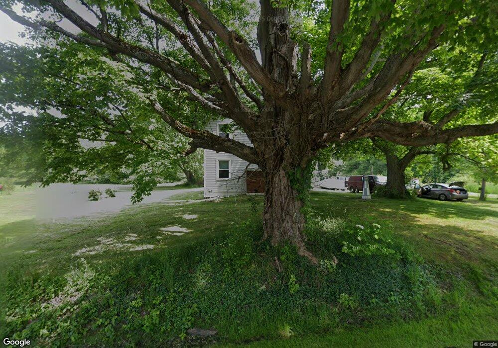
3350 Ninety Rd Ashtabula, OH 44004
Estimated Value: $143,000 - $241,000
4
Beds
1
Bath
1,584
Sq Ft
$120/Sq Ft
Est. Value
About This Home
This home is located at 3350 Ninety Rd, Ashtabula, OH 44004 and is currently estimated at $190,642, approximately $120 per square foot. 3350 Ninety Rd is a home located in Ashtabula County with nearby schools including Lakeside High School.
Ownership History
Date
Name
Owned For
Owner Type
Purchase Details
Closed on
Jul 26, 2010
Sold by
Fannie Mae
Bought by
Netherland Larry
Current Estimated Value
Purchase Details
Closed on
Dec 10, 2009
Sold by
Benson Terry W
Bought by
Federal National Mortgage Association
Purchase Details
Closed on
Mar 28, 2001
Sold by
Perry Ronald L
Bought by
Benson Terry W Dawn M
Home Financials for this Owner
Home Financials are based on the most recent Mortgage that was taken out on this home.
Original Mortgage
$59,600
Interest Rate
7.02%
Mortgage Type
New Conventional
Purchase Details
Closed on
May 5, 1995
Sold by
Steiner James H
Bought by
Perry Ronald L and Perry Sharon M
Home Financials for this Owner
Home Financials are based on the most recent Mortgage that was taken out on this home.
Original Mortgage
$35,000
Interest Rate
8.43%
Mortgage Type
New Conventional
Create a Home Valuation Report for This Property
The Home Valuation Report is an in-depth analysis detailing your home's value as well as a comparison with similar homes in the area
Purchase History
| Date | Buyer | Sale Price | Title Company |
|---|---|---|---|
| Netherland Larry | $29,900 | Chicago Title | |
| Federal National Mortgage Association | $20,000 | None Available | |
| Benson Terry W Dawn M | $66,250 | -- | |
| Perry Ronald L | $50,000 | -- |
Source: Public Records
Mortgage History
| Date | Status | Borrower | Loan Amount |
|---|---|---|---|
| Previous Owner | Benson Terry W Dawn M | $59,600 | |
| Previous Owner | Perry Ronald L | $35,000 |
Source: Public Records
Tax History
| Year | Tax Paid | Tax Assessment Tax Assessment Total Assessment is a certain percentage of the fair market value that is determined by local assessors to be the total taxable value of land and additions on the property. | Land | Improvement |
|---|---|---|---|---|
| 2024 | $3,594 | $43,580 | $14,180 | $29,400 |
| 2023 | $2,063 | $43,580 | $14,180 | $29,400 |
| 2022 | $1,814 | $32,690 | $10,920 | $21,770 |
| 2021 | $1,833 | $32,690 | $10,920 | $21,770 |
| 2020 | $1,667 | $32,690 | $10,920 | $21,770 |
| 2019 | $1,593 | $29,720 | $8,680 | $21,040 |
| 2018 | $1,526 | $29,720 | $8,680 | $21,040 |
| 2017 | $1,514 | $29,720 | $8,680 | $21,040 |
| 2016 | $1,451 | $27,030 | $7,880 | $19,150 |
| 2015 | $1,450 | $27,030 | $7,880 | $19,150 |
| 2014 | $1,410 | $27,030 | $7,880 | $19,150 |
| 2013 | $1,210 | $23,560 | $9,350 | $14,210 |
Source: Public Records
Map
Nearby Homes
- 2631 State Route 46 N
- 1788 Mills Rd
- 0 Buttonwood Ln
- 1267 Knickerbocker Cir
- 6208 Jefferson Rd
- 715 Holden Dr
- 183 1626 E 51st St
- 211 W 58th St
- 1626 #165 E 51st St
- 320 Fox Dr
- 1930 E 52nd St
- 5725 Main Ave
- 5031 Blakeslee Ave
- 137 Grove Dr
- 0 S Ridge Sr 84 Rd Unit 5180557
- S Ridge Rd W Unit ASHTABULA OH
- 1312 Hamlin Dr
- 923 W 58th St
- 0 Maple Rd Unit LotWP001
- 0 Maple Rd
Your Personal Tour Guide
Ask me questions while you tour the home.