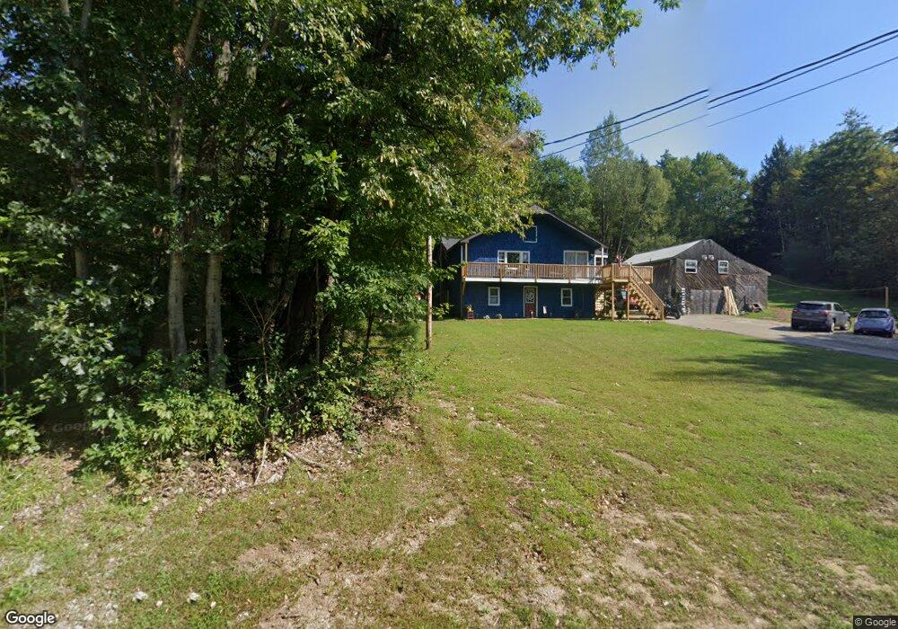
339 New Hampton Rd Franklin, NH 03235
Estimated Value: $371,000 - $460,000
2
Beds
1
Bath
1,620
Sq Ft
$253/Sq Ft
Est. Value
About This Home
This home is located at 339 New Hampton Rd, Franklin, NH 03235 and is currently estimated at $409,439, approximately $252 per square foot. 339 New Hampton Rd is a home located in Merrimack County with nearby schools including Paul A. Smith School, Franklin Middle School, and Franklin High School.
Ownership History
Date
Name
Owned For
Owner Type
Purchase Details
Closed on
Mar 3, 2023
Sold by
Rose Jincy Q and Morris Jincy R
Bought by
Mutney William A and Mutney Colleen
Current Estimated Value
Home Financials for this Owner
Home Financials are based on the most recent Mortgage that was taken out on this home.
Original Mortgage
$243,200
Outstanding Balance
$235,592
Interest Rate
6.15%
Mortgage Type
Purchase Money Mortgage
Estimated Equity
$173,847
Purchase Details
Closed on
Oct 16, 2018
Sold by
Morris Fred L and Morris Jincy R
Bought by
Morris Jincy R
Purchase Details
Closed on
Sep 29, 2008
Sold by
Macmillan Charles A and Macmillan-Lilly Heather L
Bought by
Morris Fred L and Morris Jincy R
Home Financials for this Owner
Home Financials are based on the most recent Mortgage that was taken out on this home.
Original Mortgage
$187,956
Interest Rate
6.57%
Mortgage Type
VA
Create a Home Valuation Report for This Property
The Home Valuation Report is an in-depth analysis detailing your home's value as well as a comparison with similar homes in the area
Home Values in the Area
Average Home Value in this Area
Purchase History
| Date | Buyer | Sale Price | Title Company |
|---|---|---|---|
| Mutney William A | $304,000 | None Available | |
| Morris Jincy R | -- | -- | |
| Morris Fred L | $184,000 | -- |
Source: Public Records
Mortgage History
| Date | Status | Borrower | Loan Amount |
|---|---|---|---|
| Open | Mutney William A | $243,200 | |
| Previous Owner | Morris Fred L | $187,956 |
Source: Public Records
Tax History Compared to Growth
Tax History
| Year | Tax Paid | Tax Assessment Tax Assessment Total Assessment is a certain percentage of the fair market value that is determined by local assessors to be the total taxable value of land and additions on the property. | Land | Improvement |
|---|---|---|---|---|
| 2024 | $5,725 | $333,800 | $110,200 | $223,600 |
| 2023 | $5,423 | $333,500 | $110,200 | $223,300 |
| 2022 | $4,717 | $193,400 | $84,100 | $109,300 |
| 2021 | $4,489 | $193,400 | $84,100 | $109,300 |
| 2020 | $4,417 | $193,400 | $84,100 | $109,300 |
| 2019 | $4,404 | $196,000 | $84,100 | $111,900 |
| 2018 | $3,910 | $196,000 | $84,100 | $111,900 |
| 2017 | $4,184 | $163,700 | $47,300 | $116,400 |
| 2016 | $4,130 | $163,700 | $47,300 | $116,400 |
| 2015 | $2,838 | $113,750 | $33,110 | $80,640 |
| 2011 | $3,820 | $177,500 | $47,300 | $130,200 |
Source: Public Records
Map
Nearby Homes
- 32 Park View Dr
- 693 Hill Rd
- 104 New Hampton Rd
- 6 Morning Glory Dr
- 18 Eagle Nest Dr
- 8 Smiling Hill Rd
- 21 Mountain View Dr
- 28 Pine Colony Rd
- 00 Finch and Kidder Ave
- 69 Lake Ave
- 56 Threshing Mill Rd
- 9 Hunt Ave
- 208 Sanborn St
- 53 Lark St
- 36 Lark St
- 0 Calef Hill Rd Unit 5054184
- 0 Rowell Dr Unit 406 5043422
- 193 Kendall St
- 11 Racine St
- 30 Duffy St
- 344 New Hampton Rd
- 336 New Hampton Rd
- 349 New Hampton Rd
- 321 New Hampton Rd
- 352 New Hampton Rd
- 43 Gile Pond Rd
- 355 New Hampton Rd
- 47 Gile Pond Rd
- 61 Gile Pond Rd
- 39 Gile Pond Rd
- 28 Gile Pond Rd
- 320 New Hampton Rd
- TBD 128-046-00 Gile Pond Rd
- 00 Gile Pond Rd
- 0 Gile Pond Rd
- 0 Gile Pond Rd
- 0 Gile Pond Rd
- Parcel 42 Gile Pond Rd
- Parcel 59 Gile Pond Rd
- Parcel 57 Gile Pond Rd