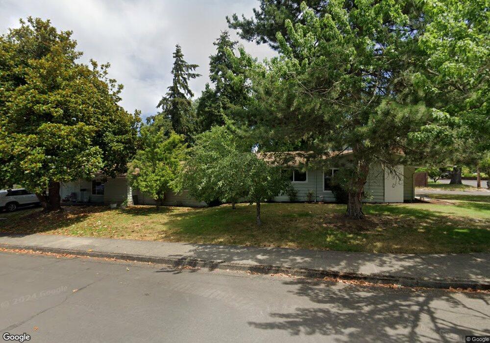
3445 High St Eugene, OR 97405
Southeast Eugene NeighborhoodEstimated Value: $558,051 - $619,000
6
Beds
3
Baths
2,450
Sq Ft
$238/Sq Ft
Est. Value
About This Home
This home is located at 3445 High St, Eugene, OR 97405 and is currently estimated at $583,263, approximately $238 per square foot. 3445 High St is a home located in Lane County with nearby schools including Camas Ridge Community Elementary School, Spencer Butte Middle School, and South Eugene High School.
Ownership History
Date
Name
Owned For
Owner Type
Purchase Details
Closed on
Nov 25, 1997
Sold by
Stelzl Margaret Coberly
Bought by
Stelzl Robert L
Current Estimated Value
Home Financials for this Owner
Home Financials are based on the most recent Mortgage that was taken out on this home.
Original Mortgage
$140,000
Outstanding Balance
$21,391
Interest Rate
7.31%
Estimated Equity
$561,872
Purchase Details
Closed on
Nov 1, 1997
Sold by
Hafner Marcia M
Bought by
Stelzl Robert L
Home Financials for this Owner
Home Financials are based on the most recent Mortgage that was taken out on this home.
Original Mortgage
$140,000
Outstanding Balance
$21,391
Interest Rate
7.31%
Estimated Equity
$561,872
Create a Home Valuation Report for This Property
The Home Valuation Report is an in-depth analysis detailing your home's value as well as a comparison with similar homes in the area
Home Values in the Area
Average Home Value in this Area
Purchase History
| Date | Buyer | Sale Price | Title Company |
|---|---|---|---|
| Stelzl Robert L | -- | Oregon Title Insurance Co | |
| Stelzl Robert L | $175,000 | Oregon Title Insurance Co |
Source: Public Records
Mortgage History
| Date | Status | Borrower | Loan Amount |
|---|---|---|---|
| Open | Stelzl Robert L | $140,000 |
Source: Public Records
Tax History
| Year | Tax Paid | Tax Assessment Tax Assessment Total Assessment is a certain percentage of the fair market value that is determined by local assessors to be the total taxable value of land and additions on the property. | Land | Improvement |
|---|---|---|---|---|
| 2025 | $5,652 | $290,069 | -- | -- |
| 2024 | $5,581 | $281,621 | -- | -- |
| 2023 | $5,581 | $273,419 | $0 | $0 |
| 2022 | $5,229 | $265,456 | $0 | $0 |
| 2021 | $4,911 | $257,725 | $0 | $0 |
| 2020 | $4,928 | $250,219 | $0 | $0 |
| 2019 | $4,719 | $242,932 | $0 | $0 |
| 2018 | $4,323 | $228,987 | $0 | $0 |
| 2017 | $4,047 | $228,987 | $0 | $0 |
| 2016 | $3,804 | $222,317 | $0 | $0 |
| 2015 | $3,720 | $215,842 | $0 | $0 |
| 2014 | $3,893 | $209,555 | $0 | $0 |
Source: Public Records
Map
Nearby Homes
- 555 Stafford Ct
- 585 E 36th Ave
- 310 1/2 E 31st Ave Unit 1
- 275 E 39th Ave
- 75 W 35th Place
- 790 E 32nd Ave
- 3023 Hummingbird Ln
- 0 E 39th Ave
- 3031 Hummingbird Ln
- 434 E 39th Ave
- 170 E 40th Ave
- 2965 Olive St
- 4023 Donald St Unit K
- 4083 Donald St Unit A
- 320 Dellwood Dr
- 357 W 37th Ave
- 2815 Hilyard St
- 3593 Lawrence St
- 1180 E 37th Ave
- 3392 Onyx Place
- 325 E 34th Place
- 345 E 34th Place
- 3440 High St
- 280 E 34th Place
- 310 E 34th Ave
- 330 E 34th Ave
- 336 E 34th Ave
- 365 E 34th Place
- 3420 High St
- 3455 Danna Ct
- 320 E 34th Place
- 3460 High St
- 245 E 34th Place
- 340 E 34th Ave
- 240 E 34th Ave
- 3465 Danna Ct
- 385 E 34th Place
- 3465 High St
- 239 E 34th Aly
- 3470 High St
Your Personal Tour Guide
Ask me questions while you tour the home.