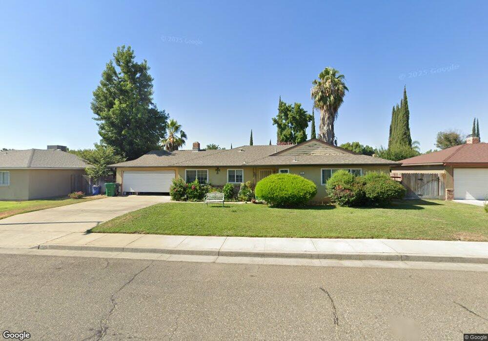
345 Della Dr Atwater, CA 95301
Estimated Value: $368,884 - $397,000
3
Beds
2
Baths
1,504
Sq Ft
$255/Sq Ft
Est. Value
About This Home
This home is located at 345 Della Dr, Atwater, CA 95301 and is currently estimated at $382,971, approximately $254 per square foot. 345 Della Dr is a home located in Merced County with nearby schools including Thomas Olaeta Elementary School, Mitchell Intermediate School, and Buhach Colony High School.
Ownership History
Date
Name
Owned For
Owner Type
Purchase Details
Closed on
Dec 8, 1999
Sold by
Meinert Ralph Arthur & Susan C Trustees
Bought by
Bell Catherine
Current Estimated Value
Home Financials for this Owner
Home Financials are based on the most recent Mortgage that was taken out on this home.
Original Mortgage
$92,857
Outstanding Balance
$28,674
Interest Rate
7.68%
Mortgage Type
FHA
Estimated Equity
$354,297
Create a Home Valuation Report for This Property
The Home Valuation Report is an in-depth analysis detailing your home's value as well as a comparison with similar homes in the area
Home Values in the Area
Average Home Value in this Area
Purchase History
| Date | Buyer | Sale Price | Title Company |
|---|---|---|---|
| Bell Catherine | $93,000 | Chicago Title Co |
Source: Public Records
Mortgage History
| Date | Status | Borrower | Loan Amount |
|---|---|---|---|
| Open | Bell Catherine | $92,857 | |
| Closed | Bell Catherine | $4,650 |
Source: Public Records
Tax History
| Year | Tax Paid | Tax Assessment Tax Assessment Total Assessment is a certain percentage of the fair market value that is determined by local assessors to be the total taxable value of land and additions on the property. | Land | Improvement |
|---|---|---|---|---|
| 2025 | $1,451 | $142,917 | $38,415 | $104,502 |
| 2024 | $1,451 | $140,115 | $37,662 | $102,453 |
| 2023 | $1,412 | $137,369 | $36,924 | $100,445 |
| 2022 | $1,394 | $134,676 | $36,200 | $98,476 |
| 2021 | $1,395 | $132,037 | $35,491 | $96,546 |
| 2020 | $1,378 | $130,685 | $35,128 | $95,557 |
| 2019 | $1,318 | $128,124 | $34,440 | $93,684 |
| 2018 | $1,283 | $125,613 | $33,765 | $91,848 |
| 2017 | $1,266 | $123,151 | $33,103 | $90,048 |
| 2016 | $1,244 | $120,737 | $32,454 | $88,283 |
| 2015 | $1,228 | $118,924 | $31,967 | $86,957 |
| 2014 | $1,198 | $116,595 | $31,341 | $85,254 |
Source: Public Records
Map
Nearby Homes
- 387 Judy Dr
- 2246 First St
- 729 Mulberry Ave
- 276 E Juniper Ave
- 2310 Linden St
- 1160 Oak Ave
- 1675 Almador Terrace
- 1750 1st St
- 1565 High St
- 288 E Fir Ave
- 2913 Soquel Ave
- 469 Elm Ave
- 1896 Catalina Ct
- 1150 Bellevue Rd
- 0 Redwood Ave Unit 225133534
- 0 Redwood Ave Unit MC25237349
- 469 Cedar Ave
- 42 Rancho Grande Cir
- 42 Rancho Grande Cir Unit 42
- 1490 Tamarack Ave
Your Personal Tour Guide
Ask me questions while you tour the home.