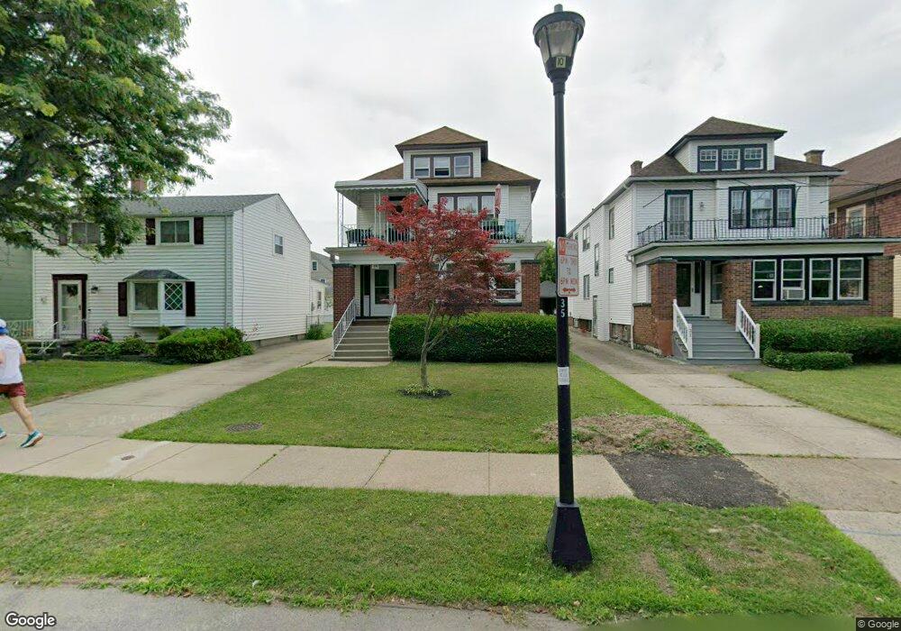
35 Knox Ave Buffalo, NY 14216
Parkside NeighborhoodEstimated Value: $323,000 - $461,782
6
Beds
2
Baths
2,760
Sq Ft
$136/Sq Ft
Est. Value
About This Home
This home is located at 35 Knox Ave, Buffalo, NY 14216 and is currently estimated at $375,946, approximately $136 per square foot. 35 Knox Ave is a home located in Erie County with nearby schools including Tapestry Charter School, Elmwood-Franklin School, and Nichols School.
Ownership History
Date
Name
Owned For
Owner Type
Purchase Details
Closed on
Feb 8, 2023
Sold by
Terranova Marilyn and Terranova Michael Carl
Bought by
Terranova Joseph
Current Estimated Value
Home Financials for this Owner
Home Financials are based on the most recent Mortgage that was taken out on this home.
Original Mortgage
$193,325
Outstanding Balance
$187,059
Interest Rate
6.15%
Mortgage Type
FHA
Estimated Equity
$188,887
Purchase Details
Closed on
Jan 24, 2004
Sold by
Terranova Michael
Bought by
Terranova Marilyn and Terranova Michael Carl
Create a Home Valuation Report for This Property
The Home Valuation Report is an in-depth analysis detailing your home's value as well as a comparison with similar homes in the area
Home Values in the Area
Average Home Value in this Area
Purchase History
| Date | Buyer | Sale Price | Title Company |
|---|---|---|---|
| Terranova Joseph | $270,000 | Crossroads Title | |
| Terranova Joseph | $270,000 | None Available | |
| Terranova Joseph | $270,000 | Crossroads Title | |
| Terranova Marilyn | -- | -- |
Source: Public Records
Mortgage History
| Date | Status | Borrower | Loan Amount |
|---|---|---|---|
| Open | Terranova Joseph | $193,325 | |
| Closed | Terranova Joseph | $193,325 |
Source: Public Records
Tax History Compared to Growth
Tax History
| Year | Tax Paid | Tax Assessment Tax Assessment Total Assessment is a certain percentage of the fair market value that is determined by local assessors to be the total taxable value of land and additions on the property. | Land | Improvement |
|---|---|---|---|---|
| 2024 | $1,277 | $252,000 | $35,600 | $216,400 |
| 2023 | $1,277 | $252,000 | $35,600 | $216,400 |
| 2022 | $737 | $252,000 | $35,600 | $216,400 |
| 2021 | $737 | $252,000 | $35,600 | $216,400 |
| 2020 | $460 | $252,000 | $35,600 | $216,400 |
| 2019 | $3,292 | $120,000 | $15,700 | $104,300 |
| 2018 | $2,687 | $120,000 | $15,700 | $104,300 |
| 2017 | $334 | $120,000 | $15,700 | $104,300 |
| 2016 | $734 | $120,000 | $15,700 | $104,300 |
| 2015 | -- | $120,000 | $15,700 | $104,300 |
| 2014 | -- | $120,000 | $15,700 | $104,300 |
Source: Public Records
Map
Nearby Homes
- 34 Delham Ave
- 38 Delham Ave
- 80 Edge Park Ave
- 37 Tioga St
- 532 Linden Ave
- 49 Fairchild Place
- 508 Linden Ave
- 12 Bedford Ave
- 79 Fairchild Place
- 11 New Amsterdam Ave
- 88 Commonwealth Ave
- 12 Lovering Ave
- 432 Linden Ave
- 62 Hallam Rd
- 24 Lovering Ave
- 818 Amherst St
- 23 Dana Rd
- 56 Hallam Rd
- 67 Nottingham Terrace
- 81 Nottingham Terrace