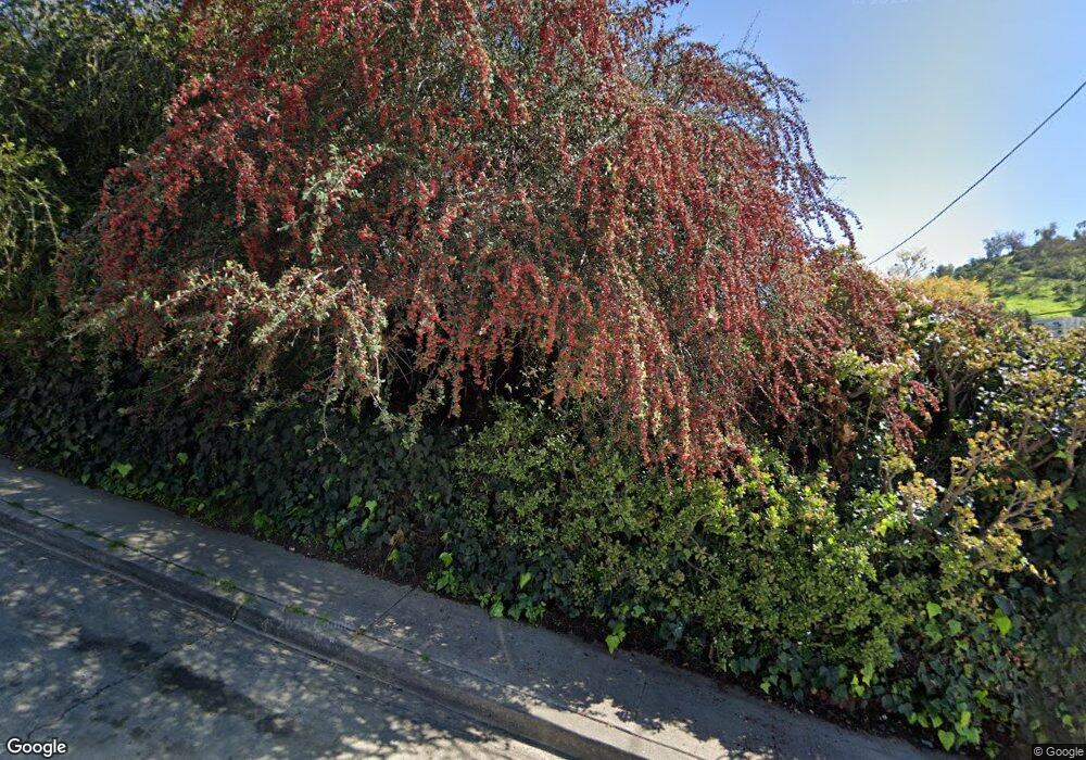
3506 Isabel Dr Los Angeles, CA 90065
Mount Washington NeighborhoodEstimated Value: $1,180,000 - $1,449,000
2
Beds
1
Bath
1,344
Sq Ft
$940/Sq Ft
Est. Value
About This Home
This home is located at 3506 Isabel Dr, Los Angeles, CA 90065 and is currently estimated at $1,263,802, approximately $940 per square foot. 3506 Isabel Dr is a home located in Los Angeles County with nearby schools including Glassell Park Elementary, Aragon Avenue Elementary, and Irving STEAM Magnet School.
Ownership History
Date
Name
Owned For
Owner Type
Purchase Details
Closed on
Nov 29, 2010
Sold by
Swafford Ronee
Bought by
Kane David Aaron
Current Estimated Value
Home Financials for this Owner
Home Financials are based on the most recent Mortgage that was taken out on this home.
Original Mortgage
$260,000
Outstanding Balance
$171,689
Interest Rate
4.21%
Mortgage Type
New Conventional
Estimated Equity
$1,092,113
Purchase Details
Closed on
Jun 2, 2005
Sold by
Rodriguez Lucy H and The Lucy H Rodriguez Trust
Bought by
Swafford Ronee
Home Financials for this Owner
Home Financials are based on the most recent Mortgage that was taken out on this home.
Original Mortgage
$412,000
Interest Rate
6.62%
Mortgage Type
Purchase Money Mortgage
Purchase Details
Closed on
Aug 25, 1993
Sold by
Rodriguez Lucy H
Bought by
Rodriguez Lucy H and The Lucy H Rodriguez Trust
Create a Home Valuation Report for This Property
The Home Valuation Report is an in-depth analysis detailing your home's value as well as a comparison with similar homes in the area
Home Values in the Area
Average Home Value in this Area
Purchase History
| Date | Buyer | Sale Price | Title Company |
|---|---|---|---|
| Kane David Aaron | $325,000 | Fidelity National Title Co | |
| Swafford Ronee | $515,000 | Commonwealth Land Title Co | |
| Rodriguez Lucy H | -- | -- |
Source: Public Records
Mortgage History
| Date | Status | Borrower | Loan Amount |
|---|---|---|---|
| Open | Kane David Aaron | $260,000 | |
| Previous Owner | Swafford Ronee | $412,000 |
Source: Public Records
Tax History Compared to Growth
Tax History
| Year | Tax Paid | Tax Assessment Tax Assessment Total Assessment is a certain percentage of the fair market value that is determined by local assessors to be the total taxable value of land and additions on the property. | Land | Improvement |
|---|---|---|---|---|
| 2025 | $5,142 | $416,371 | $333,101 | $83,270 |
| 2024 | $5,142 | $408,208 | $326,570 | $81,638 |
| 2023 | $5,045 | $400,205 | $320,167 | $80,038 |
| 2022 | $4,812 | $392,359 | $313,890 | $78,469 |
| 2021 | $4,750 | $384,667 | $307,736 | $76,931 |
| 2019 | $4,609 | $373,259 | $298,609 | $74,650 |
| 2018 | $4,551 | $365,941 | $292,754 | $73,187 |
| 2016 | $4,343 | $351,733 | $281,387 | $70,346 |
| 2015 | $4,280 | $346,451 | $277,161 | $69,290 |
| 2014 | $4,302 | $339,665 | $271,732 | $67,933 |
Source: Public Records
Map
Nearby Homes
- 2042 Rome Dr
- 3391 Scarboro St
- 0 Cleland Ave Unit SB24229741
- 0 Cleland Ave Unit CV25087947
- 3738 N Brilliant Dr
- 3500 Loma Lada Dr
- 1630 Bridgeport Dr
- 3604 Primavera Ave
- 3301 Division St
- 3608 Primavera Ave
- 3614 Primavera Ave
- 3787 Cazador St
- 3391 Cazador St
- 1867 Burnell Dr
- 3755 Richardson Dr
- 3609 Richardson Dr
- 3615 Richardson Dr
- 2312 Yorkshire Dr
- 3634 Parrish Ave
- 3636 Division St
- 1920 Alder Dr
- 1915 Wollam St
- 3436 Isabel Dr
- 1918 Wollam St Unit 4
- 1913 Wollam St
- 1912 Alder Dr
- 3507 Isabel Dr
- 3428 Isabel Dr
- 3515 Isabel Dr
- 1901 Wollam St
- 1900 Alder Dr
- 1919 Alder Dr
- 3519 Isabel Dr
- 1912 Wollam St
- 3433 Isabel Dr
- 1943 Wollam St
- 3426 Isabel Dr
- 1913 Alder Dr
- 3525 Isabel Dr
- 1843 Wollam St
