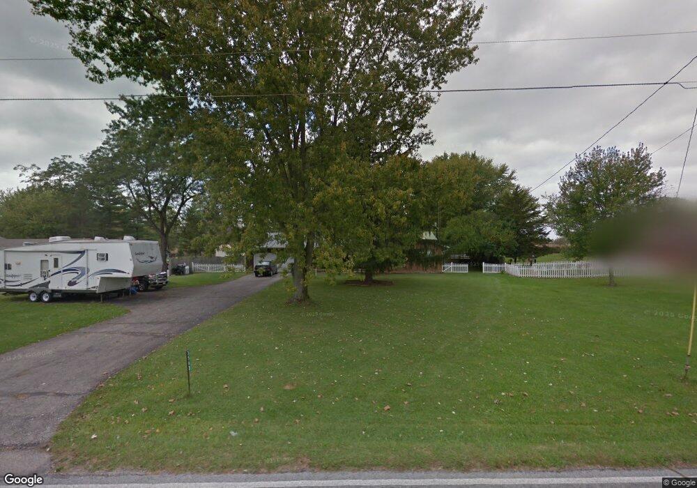
3563 Miller Rd Springfield, OH 45502
Cedar Hills/Broadview NeighborhoodEstimated Value: $283,000 - $320,000
3
Beds
2
Baths
1,632
Sq Ft
$185/Sq Ft
Est. Value
About This Home
This home is located at 3563 Miller Rd, Springfield, OH 45502 and is currently estimated at $301,773, approximately $184 per square foot. 3563 Miller Rd is a home located in Clark County with nearby schools including Northwestern Elementary School, Northwestern Junior/Senior High School, and Ridgewood School.
Ownership History
Date
Name
Owned For
Owner Type
Purchase Details
Closed on
Aug 21, 1996
Sold by
Harphan Richard L
Bought by
Courtney Terry L and Courtney Connie J
Current Estimated Value
Home Financials for this Owner
Home Financials are based on the most recent Mortgage that was taken out on this home.
Original Mortgage
$87,850
Outstanding Balance
$5,222
Interest Rate
8.47%
Mortgage Type
New Conventional
Estimated Equity
$296,551
Create a Home Valuation Report for This Property
The Home Valuation Report is an in-depth analysis detailing your home's value as well as a comparison with similar homes in the area
Home Values in the Area
Average Home Value in this Area
Purchase History
| Date | Buyer | Sale Price | Title Company |
|---|---|---|---|
| Courtney Terry L | $119,900 | -- |
Source: Public Records
Mortgage History
| Date | Status | Borrower | Loan Amount |
|---|---|---|---|
| Open | Courtney Terry L | $87,850 |
Source: Public Records
Tax History
| Year | Tax Paid | Tax Assessment Tax Assessment Total Assessment is a certain percentage of the fair market value that is determined by local assessors to be the total taxable value of land and additions on the property. | Land | Improvement |
|---|---|---|---|---|
| 2025 | $5,374 | $101,690 | $16,010 | $85,680 |
| 2024 | $3,372 | $82,990 | $12,570 | $70,420 |
| 2023 | $3,372 | $82,990 | $12,570 | $70,420 |
| 2022 | $3,484 | $82,990 | $12,570 | $70,420 |
| 2021 | $2,882 | $63,340 | $9,590 | $53,750 |
| 2020 | $2,911 | $63,340 | $9,590 | $53,750 |
| 2019 | $2,884 | $63,340 | $9,590 | $53,750 |
| 2018 | $2,301 | $51,560 | $8,720 | $42,840 |
| 2017 | $2,302 | $51,559 | $8,719 | $42,840 |
| 2016 | $2,256 | $51,559 | $8,719 | $42,840 |
| 2015 | $2,197 | $50,471 | $8,719 | $41,752 |
| 2014 | $2,196 | $50,471 | $8,719 | $41,752 |
| 2013 | $2,181 | $50,471 | $8,719 | $41,752 |
Source: Public Records
Map
Nearby Homes
- 3305 Turner Dr E
- 2137 Manhattan Blvd
- 3314 Scotsdale Dr
- 2639 Anita Dr
- 3460 Hanson Rd
- 917 White Oak Dr
- 925 Upper Valley Pike
- 3145 Troy Rd
- 00 Upper Valley Pike
- 624 Aberfelda Dr
- 2743 Ironwood Dr
- 2805 Cottonwood Dr
- 361 Upper Valley Pike
- 3891 New Carlisle Pike
- 190 Oakridge Dr
- 4461 New Carlisle Pike
- 4472 Saint Paris Pike
- 124 Old Mill Rd
- 4328 Pine Tree Place
- 0 Upper Valley Pike
Your Personal Tour Guide
Ask me questions while you tour the home.