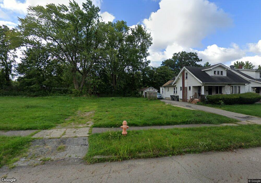
357 E Philadelphia Ave Youngstown, OH 44507
Cottage Grove NeighborhoodEstimated Value: $95,000 - $103,000
2
Beds
2
Baths
1,257
Sq Ft
$79/Sq Ft
Est. Value
About This Home
This home is located at 357 E Philadelphia Ave, Youngstown, OH 44507 and is currently estimated at $98,896, approximately $78 per square foot. 357 E Philadelphia Ave is a home located in Mahoning County with nearby schools including Taft Elementary School, Williamson Elementary School, and East High School.
Ownership History
Date
Name
Owned For
Owner Type
Purchase Details
Closed on
Mar 24, 2004
Sold by
Lustig Harmon and Lustig Ruth
Bought by
Anderson Edward C
Current Estimated Value
Home Financials for this Owner
Home Financials are based on the most recent Mortgage that was taken out on this home.
Original Mortgage
$40,000
Outstanding Balance
$21,740
Interest Rate
8.55%
Mortgage Type
Purchase Money Mortgage
Estimated Equity
$77,156
Purchase Details
Closed on
Feb 20, 2002
Sold by
Lustig Harmon and Lustig Ruth
Bought by
Lustig Harmon and Lustig Ruth
Purchase Details
Closed on
Dec 15, 1993
Bought by
Lustig Harmon and Lustig Julie B
Create a Home Valuation Report for This Property
The Home Valuation Report is an in-depth analysis detailing your home's value as well as a comparison with similar homes in the area
Home Values in the Area
Average Home Value in this Area
Purchase History
| Date | Buyer | Sale Price | Title Company |
|---|---|---|---|
| Anderson Edward C | $50,000 | -- | |
| Lustig Harmon | -- | -- | |
| Lustig Harmon | $26,000 | -- |
Source: Public Records
Mortgage History
| Date | Status | Borrower | Loan Amount |
|---|---|---|---|
| Open | Anderson Edward C | $40,000 | |
| Closed | Anderson Edward C | $7,500 |
Source: Public Records
Tax History
| Year | Tax Paid | Tax Assessment Tax Assessment Total Assessment is a certain percentage of the fair market value that is determined by local assessors to be the total taxable value of land and additions on the property. | Land | Improvement |
|---|---|---|---|---|
| 2025 | $458 | $190 | $190 | -- |
| 2024 | $9 | $190 | $190 | -- |
| 2023 | $9 | $190 | $190 | $0 |
| 2022 | $13 | $210 | $210 | $0 |
| 2021 | $13 | $210 | $210 | $0 |
| 2020 | $4,958 | $210 | $210 | $0 |
| 2019 | $127 | $1,760 | $640 | $1,120 |
| 2018 | $148 | $1,760 | $640 | $1,120 |
| 2017 | $291 | $1,760 | $640 | $1,120 |
| 2016 | $457 | $2,390 | $640 | $1,750 |
| 2015 | $161 | $2,390 | $640 | $1,750 |
| 2014 | $152 | $2,390 | $640 | $1,750 |
| 2013 | $150 | $2,390 | $640 | $1,750 |
Source: Public Records
Map
Nearby Homes
- 328 Marmion Ave
- 353 Cornell Ave
- 320 E Auburndale Ave
- 178 E Ravenwood Ave
- 564 Miller St
- 582 Roxbury Ave
- 359 Potomac Ave
- 727 Wilbur Ave
- 715 Roxbury Ave
- 609 E Dewey Ave
- 852 Marmion Ave
- 32 E Avondale Ave
- 3919 Rush Blvd
- 3031 Market St
- 28 W Philadelphia Ave
- 124 E Midlothian Blvd
- 930 Cornell St
- 4038 Sunset Blvd
- 95 E Earle Ave
- 173 Clarencedale Ave
- 363 E Philadelphia Ave
- 355 E Philadelphia Ave
- 369 E Philadelphia Ave
- 351 E Philadelphia Ave
- 347 E Philadelphia Ave
- 375 E Philadelphia Ave
- 360 E Boston Ave
- 364 E Boston Ave
- 354 E Boston Ave
- 368 E Boston Ave
- 343 E Philadelphia Ave
- 352 E Boston Ave
- 368 E Philadelphia Ave
- 379 E Philadelphia Ave
- 356 E Philadelphia Ave
- 372 E Boston Ave
- 339 E Philadelphia Ave
- 352 E Philadelphia Ave
- 372 E Philadelphia Ave
- 383 E Philadelphia Ave
Your Personal Tour Guide
Ask me questions while you tour the home.