37 Lower Waldron Rd Meredith, NH 03253
Estimated Value: $830,288 - $1,057,000
3
Beds
2
Baths
2,858
Sq Ft
$335/Sq Ft
Est. Value
About This Home
This home is located at 37 Lower Waldron Rd, Meredith, NH 03253 and is currently estimated at $958,572, approximately $335 per square foot. 37 Lower Waldron Rd is a home located in Belknap County with nearby schools including Inter-Lakes Elementary School, Sandwich Central School, and Inter-Lakes Middle High School.
Ownership History
Date
Name
Owned For
Owner Type
Purchase Details
Closed on
Nov 27, 2006
Sold by
Dinorsce Lois M
Bought by
Gravereaux Stacie E
Current Estimated Value
Home Financials for this Owner
Home Financials are based on the most recent Mortgage that was taken out on this home.
Original Mortgage
$331,200
Outstanding Balance
$118,791
Interest Rate
6.39%
Mortgage Type
Purchase Money Mortgage
Estimated Equity
$839,781
Purchase Details
Closed on
Nov 20, 2003
Sold by
Moje Myrna L
Bought by
Dinorsce Lois M
Home Financials for this Owner
Home Financials are based on the most recent Mortgage that was taken out on this home.
Original Mortgage
$201,000
Interest Rate
5.98%
Mortgage Type
Purchase Money Mortgage
Purchase Details
Closed on
Nov 24, 1999
Sold by
Farley J Richard
Bought by
Dainis Michael and Dainis Annette
Home Financials for this Owner
Home Financials are based on the most recent Mortgage that was taken out on this home.
Original Mortgage
$202,800
Interest Rate
7.77%
Mortgage Type
Purchase Money Mortgage
Create a Home Valuation Report for This Property
The Home Valuation Report is an in-depth analysis detailing your home's value as well as a comparison with similar homes in the area
Home Values in the Area
Average Home Value in this Area
Purchase History
| Date | Buyer | Sale Price | Title Company |
|---|---|---|---|
| Gravereaux Stacie E | $354,000 | -- | |
| Dinorsce Lois M | $335,000 | -- | |
| Dainis Michael | $24,500 | -- |
Source: Public Records
Mortgage History
| Date | Status | Borrower | Loan Amount |
|---|---|---|---|
| Open | Gravereaux Stacie E | $331,200 | |
| Previous Owner | Dainis Michael | $201,000 | |
| Previous Owner | Dainis Michael | $202,800 |
Source: Public Records
Tax History
| Year | Tax Paid | Tax Assessment Tax Assessment Total Assessment is a certain percentage of the fair market value that is determined by local assessors to be the total taxable value of land and additions on the property. | Land | Improvement |
|---|---|---|---|---|
| 2024 | $7,553 | $736,200 | $336,300 | $399,900 |
| 2023 | $7,281 | $736,200 | $336,300 | $399,900 |
| 2022 | $6,495 | $464,900 | $179,900 | $285,000 |
| 2021 | $6,244 | $464,900 | $179,900 | $285,000 |
| 2020 | $6,515 | $464,700 | $179,900 | $284,800 |
| 2019 | $6,383 | $401,700 | $145,600 | $256,100 |
| 2018 | $6,275 | $401,700 | $145,600 | $256,100 |
| 2016 | $5,336 | $342,300 | $107,900 | $234,400 |
| 2015 | $5,203 | $342,300 | $107,900 | $234,400 |
| 2014 | $5,076 | $342,300 | $107,900 | $234,400 |
| 2013 | $4,418 | $306,600 | $107,900 | $198,700 |
Source: Public Records
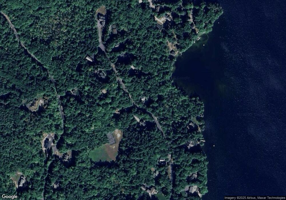
Map
Nearby Homes
- 0 Black Brook Rd Unit 5063655
- 00 Chemung Rd Unit 31
- 119 Black Brook Rd
- 1 Sanctuary Ln
- 18 Solace Pointe Rd
- 6 Loon Point Rd
- 65 Tucker Mountain Rd
- 490 Meredith Center Rd
- 178 Meredith Center Rd
- 391 Turner Way
- 302 Black Brook Rd
- 516 Steele Hill Rd Unit Week 1-10 & 51 and
- 516 Steele Hill Rd Unit Float week 17-23; 37
- 516 Steele Hill Rd Unit Floating week 17-23
- 2 Clover Ln
- 1 Clover Ln Unit 1
- 12 Clover Ln
- 207 Pease Rd
- 358 Roller Coaster Rd
- 00 Pease Rd Unit 3A
- 36 Lower Waldron Rd
- 0 Lower Waldron Unit 39 4697655
- 38 Lower Waldron Rd
- 41 Lower Waldron Rd
- 42 Lower Waldron Rd
- 44 Lower Waldron Rd
- 5 Bear Point Rd
- 39 Lower Waldron Rd
- 29 Lower Waldron Rd
- 27 Lower Waldron Rd
- 26 Lower Waldron Rd
- 50 Lower Waldron Rd
- 1 Bear Point Rd
- 30 Swain Rd
- One Bear Point Rd
- 49 Lower Waldron Rd
- 9 Bear Point Rd
- 25 Lower Waldron Rd
- 24 Lower Waldron Rd
- 47 Lower Waldron Rd
Your Personal Tour Guide
Ask me questions while you tour the home.