38 Rust Farm Ln Alstead, NH 03602
Estimated Value: $287,000 - $372,000
3
Beds
1
Bath
1,702
Sq Ft
$199/Sq Ft
Est. Value
About This Home
This home is located at 38 Rust Farm Ln, Alstead, NH 03602 and is currently estimated at $339,321, approximately $199 per square foot. 38 Rust Farm Ln is a home located in Cheshire County with nearby schools including Alstead Primary School, Vilas Elementary School, and Fall Mountain Regional High School.
Create a Home Valuation Report for This Property
The Home Valuation Report is an in-depth analysis detailing your home's value as well as a comparison with similar homes in the area
Tax History
| Year | Tax Paid | Tax Assessment Tax Assessment Total Assessment is a certain percentage of the fair market value that is determined by local assessors to be the total taxable value of land and additions on the property. | Land | Improvement |
|---|---|---|---|---|
| 2024 | $5,377 | $199,300 | $74,300 | $125,000 |
| 2023 | $5,068 | $199,300 | $74,300 | $125,000 |
| 2022 | $4,911 | $199,300 | $74,300 | $125,000 |
| 2021 | $4,634 | $199,300 | $74,300 | $125,000 |
| 2020 | $4,972 | $203,600 | $74,300 | $129,300 |
| 2019 | $4,676 | $167,900 | $50,200 | $117,700 |
| 2018 | $4,293 | $158,700 | $50,200 | $108,500 |
| 2017 | $4,139 | $155,200 | $50,200 | $105,000 |
| 2016 | $4,176 | $155,200 | $50,200 | $105,000 |
| 2015 | $4,117 | $155,200 | $50,200 | $105,000 |
| 2014 | $4,310 | $181,100 | $58,400 | $122,700 |
| 2013 | $4,853 | $181,100 | $58,400 | $122,700 |
Source: Public Records
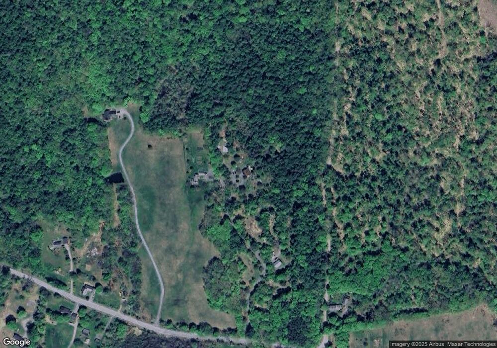
Map
Nearby Homes
- 33 Maclean Rd
- 861 Alstead Center Rd
- 234 Old Cheshire Turnpike
- 540 Hill Rd
- 411 Alstead Center Rd
- 61 North Rd
- 00 Cold River Rd Unit 3014.0
- 26 Old North Main St
- 9 Rogers St
- 60 Dearborn Cir
- 24 Westminster St
- 31 Wentworth Rd
- Lot 9-29 Murphy Hill Rd
- 34 Ford Ave
- 00 New Hampshire 123
- 100 River St
- 21 Main St
- 55 River St
- 101 Wentworth Rd
- 5362 Us Route 5
- 41 Rust Farm Ln
- 11 Mccarty Ln
- 83-A1 Farm
- 785 Valley Rd
- 14 Pratt Rd
- 769 Valley Rd
- 760 Walpole Valley Rd
- 765 Valley Rd
- 778 Valley Rd
- 768 Valley Rd
- 99 Pratt Rd
- 52 Walpole Valley Rd
- 719 Valley Rd
- 745 Valley Rd
- 760 Valley Rd
- 742 Valley Rd
- 105 Pratt Rd
- 63 Walpole Valley Rd
- 72 Walpole Valley Rd
- 19 Eaton Rd
Your Personal Tour Guide
Ask me questions while you tour the home.