4 Nimrod Farm Rd Weston, CT 06883
Estimated Value: $1,779,000 - $2,196,000
5
Beds
4
Baths
5,387
Sq Ft
$370/Sq Ft
Est. Value
About This Home
This home is located at 4 Nimrod Farm Rd, Weston, CT 06883 and is currently estimated at $1,994,786, approximately $370 per square foot. 4 Nimrod Farm Rd is a home located in Fairfield County with nearby schools including Hurlbutt Elementary School, Weston Intermediate School, and Weston Middle School.
Ownership History
Date
Name
Owned For
Owner Type
Purchase Details
Closed on
Aug 25, 2005
Sold by
Allen Lori G
Bought by
Tsui Gerald K and Chan Bigonia
Current Estimated Value
Home Financials for this Owner
Home Financials are based on the most recent Mortgage that was taken out on this home.
Original Mortgage
$998,300
Outstanding Balance
$528,374
Interest Rate
5.68%
Estimated Equity
$1,466,412
Purchase Details
Closed on
May 16, 1994
Sold by
Aronica John and Aronica Patricia
Bought by
Allen Richard and Allen Lori
Create a Home Valuation Report for This Property
The Home Valuation Report is an in-depth analysis detailing your home's value as well as a comparison with similar homes in the area
Home Values in the Area
Average Home Value in this Area
Purchase History
| Date | Buyer | Sale Price | Title Company |
|---|---|---|---|
| Tsui Gerald K | $1,490,000 | -- | |
| Allen Richard | $700,000 | -- |
Source: Public Records
Mortgage History
| Date | Status | Borrower | Loan Amount |
|---|---|---|---|
| Open | Allen Richard | $375,000 | |
| Closed | Allen Richard | $417,000 | |
| Open | Allen Richard | $998,300 |
Source: Public Records
Tax History Compared to Growth
Tax History
| Year | Tax Paid | Tax Assessment Tax Assessment Total Assessment is a certain percentage of the fair market value that is determined by local assessors to be the total taxable value of land and additions on the property. | Land | Improvement |
|---|---|---|---|---|
| 2025 | $29,185 | $1,221,150 | $247,380 | $973,770 |
| 2024 | $28,660 | $1,221,150 | $247,380 | $973,770 |
| 2023 | $27,626 | $835,640 | $247,380 | $588,260 |
| 2022 | $27,551 | $835,640 | $247,380 | $588,260 |
| 2021 | $27,509 | $835,640 | $247,380 | $588,260 |
| 2020 | $27,050 | $835,640 | $247,380 | $588,260 |
| 2019 | $27,050 | $835,640 | $247,380 | $588,260 |
| 2018 | $26,533 | $902,800 | $276,900 | $625,900 |
| 2017 | $26,100 | $902,800 | $276,900 | $625,900 |
| 2016 | $25,784 | $902,800 | $276,900 | $625,900 |
| 2015 | $25,965 | $902,800 | $276,900 | $625,900 |
| 2014 | $25,495 | $902,800 | $276,900 | $625,900 |
Source: Public Records
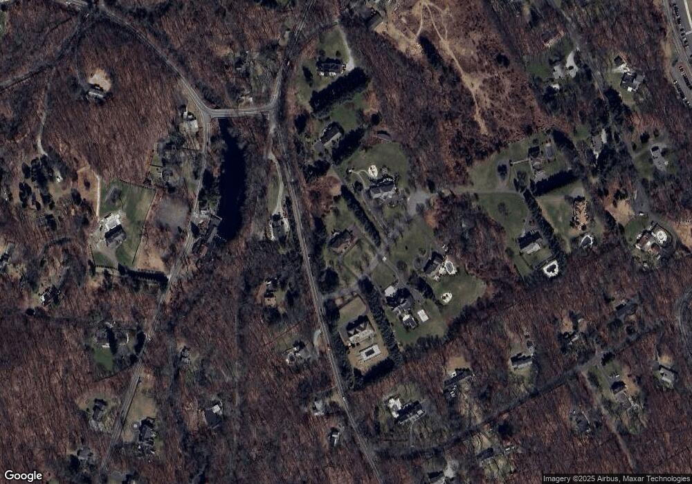
Map
Nearby Homes
- 8 Hedgerow Common
- 41 Calvin Rd
- 193 Newtown Turnpike
- 30 Coley Rd
- 335 Georgetown Rd
- 76 Sturges Ridge Rd
- 326 Georgetown Rd
- 81 Norfield Rd
- 29 Salem Rd
- 185 Sturges Ridge Rd
- 76 Lords Hwy
- 55 Liberty St
- 4 Trails End Rd
- 214 Good Hill Rd
- 225 Good Hill Rd
- 15 Mountain View Dr
- 27 Rogues Ridge
- 32 Kettle Creek Rd
- 28 Old Orchard Dr
- 30 Black Alder Ln
- 12 Nimrod Farm Rd
- 7 Nimrod Farm Rd
- 252 Weston Rd
- 1 Nimrod Farm Rd
- 11 Nimrod Farm Rd
- 8 Nimrod Farm Rd
- 248 Weston Rd
- 130 Newtown Turnpike
- 12 Old Mill Rd
- 138 Newtown Turnpike
- 5 Old Mill Rd
- 242 Weston Rd
- 412 Georgetown Rd
- 8 Wood Hill Rd
- 4 Wood Hill Rd
- 15 Nimrod Farm Rd
- 110 Newtown Turnpike
- 1 Old Mill Rd
- 238 Weston Rd
- 1 Waterbury St