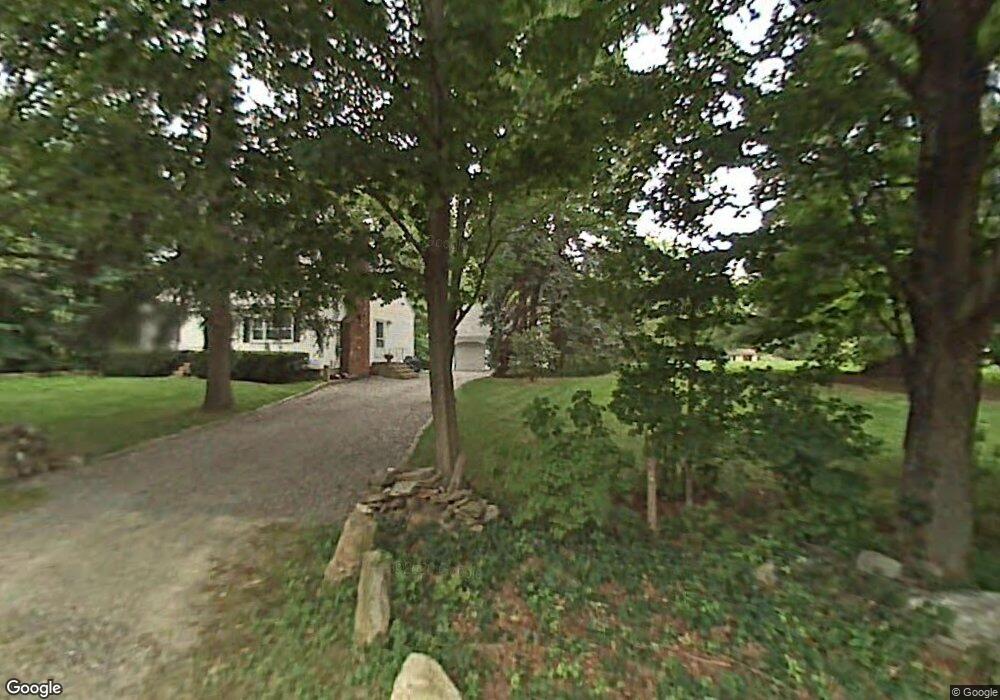
4 Red Wing Ln Worcester, MA 01605
Forest Grove NeighborhoodEstimated Value: $495,239 - $558,000
3
Beds
1
Bath
1,729
Sq Ft
$300/Sq Ft
Est. Value
About This Home
This home is located at 4 Red Wing Ln, Worcester, MA 01605 and is currently estimated at $519,060, approximately $300 per square foot. 4 Red Wing Ln is a home located in Worcester County with nearby schools including Nelson Place Elementary School, Jacob Hiatt Magnet School, and Chandler Magnet.
Create a Home Valuation Report for This Property
The Home Valuation Report is an in-depth analysis detailing your home's value as well as a comparison with similar homes in the area
Home Values in the Area
Average Home Value in this Area
Tax History
| Year | Tax Paid | Tax Assessment Tax Assessment Total Assessment is a certain percentage of the fair market value that is determined by local assessors to be the total taxable value of land and additions on the property. | Land | Improvement |
|---|---|---|---|---|
| 2025 | $5,833 | $442,200 | $124,300 | $317,900 |
| 2024 | $5,715 | $415,600 | $124,300 | $291,300 |
| 2023 | $5,488 | $382,700 | $107,000 | $275,700 |
| 2022 | $5,156 | $339,000 | $85,600 | $253,400 |
| 2021 | $5,055 | $310,500 | $68,500 | $242,000 |
| 2020 | $4,920 | $289,400 | $68,300 | $221,100 |
| 2019 | $4,784 | $265,800 | $66,100 | $199,700 |
| 2018 | $4,805 | $254,100 | $66,100 | $188,000 |
| 2017 | $4,605 | $239,600 | $66,100 | $173,500 |
| 2016 | $4,726 | $229,300 | $55,800 | $173,500 |
| 2015 | $4,602 | $229,300 | $55,800 | $173,500 |
| 2014 | $4,463 | $228,400 | $55,800 | $172,600 |
Source: Public Records
Map
Nearby Homes
Your Personal Tour Guide
Ask me questions while you tour the home.