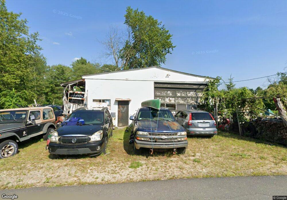
4 River Rd Royalston, MA 01368
Estimated Value: $162,758 - $265,000
2
Beds
1
Bath
1,200
Sq Ft
$182/Sq Ft
Est. Value
About This Home
This home is located at 4 River Rd, Royalston, MA 01368 and is currently estimated at $218,190, approximately $181 per square foot. 4 River Rd is a home located in Worcester County with nearby schools including Athol High School and The Village School.
Ownership History
Date
Name
Owned For
Owner Type
Purchase Details
Closed on
Jun 16, 2010
Sold by
Gerbrands Land Co Llc
Bought by
Butler Jason Z
Current Estimated Value
Home Financials for this Owner
Home Financials are based on the most recent Mortgage that was taken out on this home.
Original Mortgage
$103,500
Outstanding Balance
$69,570
Interest Rate
5.03%
Mortgage Type
Purchase Money Mortgage
Estimated Equity
$148,620
Purchase Details
Closed on
Jul 19, 2007
Sold by
Gordon Brian J
Bought by
Gerbrands Land Co Llc
Purchase Details
Closed on
Jun 26, 2006
Sold by
Gerbrands Land Co Llc
Bought by
Gordon Brian J
Home Financials for this Owner
Home Financials are based on the most recent Mortgage that was taken out on this home.
Original Mortgage
$94,900
Interest Rate
6.59%
Mortgage Type
Purchase Money Mortgage
Purchase Details
Closed on
Oct 4, 2005
Sold by
River Road Nt and Ahoranta Mailis K
Bought by
Gerbrands Land Co Llc
Create a Home Valuation Report for This Property
The Home Valuation Report is an in-depth analysis detailing your home's value as well as a comparison with similar homes in the area
Home Values in the Area
Average Home Value in this Area
Purchase History
| Date | Buyer | Sale Price | Title Company |
|---|---|---|---|
| Butler Jason Z | $115,000 | -- | |
| Gerbrands Land Co Llc | $98,432 | -- | |
| Gordon Brian J | $99,900 | -- | |
| Gerbrands Land Co Llc | $50,000 | -- |
Source: Public Records
Mortgage History
| Date | Status | Borrower | Loan Amount |
|---|---|---|---|
| Open | Butler Jason Z | $103,500 | |
| Previous Owner | Gordon Brian J | $94,900 |
Source: Public Records
Tax History
| Year | Tax Paid | Tax Assessment Tax Assessment Total Assessment is a certain percentage of the fair market value that is determined by local assessors to be the total taxable value of land and additions on the property. | Land | Improvement |
|---|---|---|---|---|
| 2025 | $1,740 | $180,900 | $29,200 | $151,700 |
| 2024 | $1,663 | $175,600 | $29,200 | $146,400 |
| 2023 | $1,587 | $162,100 | $29,200 | $132,900 |
| 2022 | $1,598 | $130,900 | $23,200 | $107,700 |
| 2020 | $838 | $62,000 | $23,200 | $38,800 |
| 2019 | $806 | $62,000 | $23,200 | $38,800 |
| 2018 | $2,622 | $54,600 | $23,200 | $31,400 |
| 2017 | $775 | $54,600 | $23,200 | $31,400 |
| 2016 | $731 | $54,300 | $22,600 | $31,700 |
| 2015 | $712 | $54,300 | $22,600 | $31,700 |
| 2014 | $667 | $54,300 | $22,600 | $31,700 |
Source: Public Records
Map
Nearby Homes
- 2 Baldwinville Rd
- 16 Neale Rd
- 554 Highland Ave
- 555 Highland Ave
- 3327 Chestnut Hill Ave
- 43 Winchendon Rd
- Lot 2 S Royalston Rd
- 10 Pleasant St
- 0 12 Lots for Sale On Mill St Unit multiple, see brochu
- 5 Circle St
- 9 On the Common
- 10 On the Common
- 0 S Royalston Rd
- 2791 Old Keene Rd
- 45 Phyllis Rd
- 12 Lots on Mill St
- 12 Lots for Sale On Mill St
- 3 Lots Mill St
- 77 Old Keene Rd
- 1495 W Royalston Rd
Your Personal Tour Guide
Ask me questions while you tour the home.