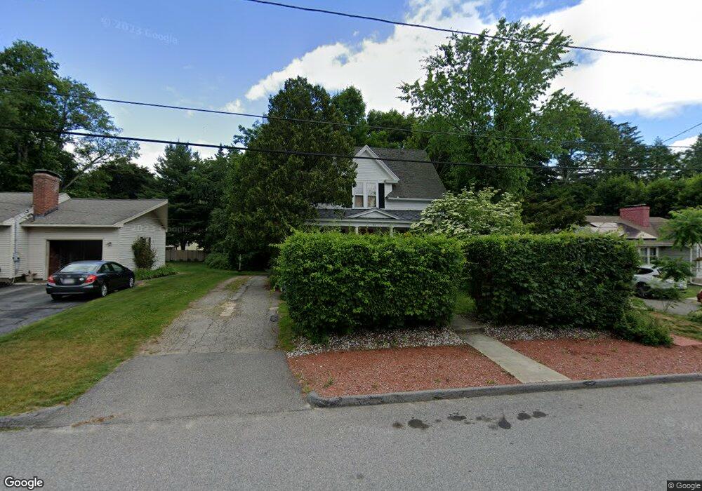
40 Stark Rd Worcester, MA 01602
West Tatnuck NeighborhoodEstimated Value: $435,308 - $489,000
4
Beds
1
Bath
1,614
Sq Ft
$291/Sq Ft
Est. Value
About This Home
This home is located at 40 Stark Rd, Worcester, MA 01602 and is currently estimated at $469,327, approximately $290 per square foot. 40 Stark Rd is a home located in Worcester County with nearby schools including West Tatnuck School, Chandler Magnet, and Jacob Hiatt Magnet School.
Create a Home Valuation Report for This Property
The Home Valuation Report is an in-depth analysis detailing your home's value as well as a comparison with similar homes in the area
Home Values in the Area
Average Home Value in this Area
Tax History
| Year | Tax Paid | Tax Assessment Tax Assessment Total Assessment is a certain percentage of the fair market value that is determined by local assessors to be the total taxable value of land and additions on the property. | Land | Improvement |
|---|---|---|---|---|
| 2025 | $5,170 | $392,000 | $118,700 | $273,300 |
| 2024 | $4,962 | $360,900 | $118,700 | $242,200 |
| 2023 | $4,771 | $332,700 | $103,200 | $229,500 |
| 2022 | $4,403 | $289,500 | $82,600 | $206,900 |
| 2021 | $4,322 | $265,500 | $66,100 | $199,400 |
| 2020 | $4,126 | $242,700 | $66,100 | $176,600 |
| 2019 | $3,974 | $220,800 | $59,500 | $161,300 |
| 2018 | $3,971 | $210,000 | $59,500 | $150,500 |
| 2017 | $3,809 | $198,200 | $59,500 | $138,700 |
| 2016 | $3,782 | $183,500 | $43,600 | $139,900 |
| 2015 | $3,683 | $183,500 | $43,600 | $139,900 |
| 2014 | $3,586 | $183,500 | $43,600 | $139,900 |
Source: Public Records
Map
Nearby Homes
- 9 Newburn Rd
- 53 Tiverton Pkwy
- 23 Tiverton Pkwy
- 44 Drexel St
- 21 Baxter St
- 148A Tory Fort Ln
- 122 Copperfield Rd
- 15 Chesterfield Rd
- 21 Brewster Rd
- 118 Beaconsfield Rd
- 10 Edwidge St
- 70 Moreland Green Dr
- 10 Wrentham Rd Unit 308
- 19 Assabet Ln
- 163 Moreland St
- 47R Yarnie Unit 1B
- 47R Yarnie Unit 4A
- 47R Yarnie Unit 1A
- 29 Scenic Dr
- 73 Moore Ave
Your Personal Tour Guide
Ask me questions while you tour the home.