400 Leander Dr Springfield, OH 45504
Cedar Hills/Broadview NeighborhoodEstimated Value: $546,000 - $624,000
4
Beds
4
Baths
3,560
Sq Ft
$165/Sq Ft
Est. Value
About This Home
This home is located at 400 Leander Dr, Springfield, OH 45504 and is currently estimated at $587,819, approximately $165 per square foot. 400 Leander Dr is a home located in Clark County with nearby schools including Possum Elementary School, Shawnee Middle School/High School, and Clark Preparatory Academy.
Ownership History
Date
Name
Owned For
Owner Type
Purchase Details
Closed on
Sep 20, 1998
Sold by
Patton Larry K and Patton Susan J
Bought by
Brown Thomas A and Brown Joyce M
Current Estimated Value
Purchase Details
Closed on
Jul 30, 1991
Sold by
Patton Larry K and Patton Susan J
Bought by
Brown Thomas A and Brown Joyce
Create a Home Valuation Report for This Property
The Home Valuation Report is an in-depth analysis detailing your home's value as well as a comparison with similar homes in the area
Home Values in the Area
Average Home Value in this Area
Purchase History
| Date | Buyer | Sale Price | Title Company |
|---|---|---|---|
| Brown Thomas A | -- | -- | |
| Brown Thomas A | -- | -- | |
| Brown Thomas A | -- | -- | |
| Brown Thomas A | $52,000 | -- |
Source: Public Records
Tax History
| Year | Tax Paid | Tax Assessment Tax Assessment Total Assessment is a certain percentage of the fair market value that is determined by local assessors to be the total taxable value of land and additions on the property. | Land | Improvement |
|---|---|---|---|---|
| 2025 | $7,674 | $206,070 | $27,250 | $178,820 |
| 2024 | $7,506 | $162,600 | $22,340 | $140,260 |
| 2023 | $11,612 | $162,600 | $22,340 | $140,260 |
| 2022 | $7,465 | $162,600 | $22,340 | $140,260 |
| 2021 | $6,260 | $124,250 | $16,930 | $107,320 |
| 2020 | $6,311 | $124,250 | $16,930 | $107,320 |
| 2019 | $6,411 | $124,250 | $16,930 | $107,320 |
| 2018 | $6,256 | $119,860 | $13,650 | $106,210 |
| 2017 | $6,412 | $114,979 | $13,654 | $101,325 |
| 2016 | $5,786 | $114,979 | $13,654 | $101,325 |
| 2015 | $5,830 | $114,979 | $13,654 | $101,325 |
| 2014 | $5,847 | $114,979 | $13,654 | $101,325 |
| 2013 | $5,081 | $114,979 | $13,654 | $101,325 |
Source: Public Records
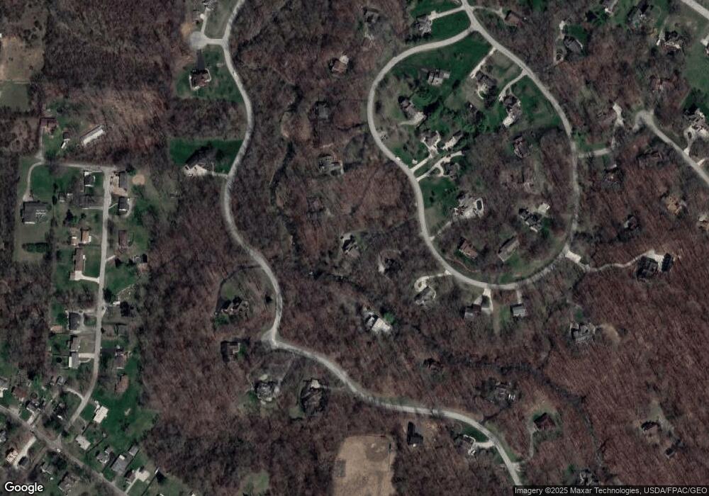
Map
Nearby Homes
- 624 Aberfelda Dr
- 3891 New Carlisle Pike
- 124 Old Mill Rd
- 190 Oakridge Dr
- 2805 Cottonwood Dr
- 361 Upper Valley Pike
- 2743 Ironwood Dr
- 4461 New Carlisle Pike
- 917 White Oak Dr
- 0 Upper Valley Pike
- 925 Upper Valley Pike
- 3319 Wendover St
- 4638 W National Rd
- 1290 Red Oaks Cir
- 128 Ravenwood Dr
- 106 Walter St
- 110 Walter St
- 1906-1908 W High St
- 1915 W Washington St
- 1866 Maiden Ln
- 390 Leander Dr
- 410 Leander Dr
- 420 Leander Dr
- 3484 Rockview Dr
- 384 Leander Dr
- 395 Leander Dr
- 393 Leander Dr
- 401 Leander Dr
- 405 Leander Dr
- 430 Leander Dr
- 435 Leander Dr
- 3555 Rockview Dr
- 382 Leander Dr
- 3438 Rockview Dr
- 391 Tollhouse Rd
- 3507 Rockview Dr
- 461 Rockview Dr
- 440 Leander Dr
- 386 Tollhouse Rd
- 3545 Rockview Dr
Your Personal Tour Guide
Ask me questions while you tour the home.