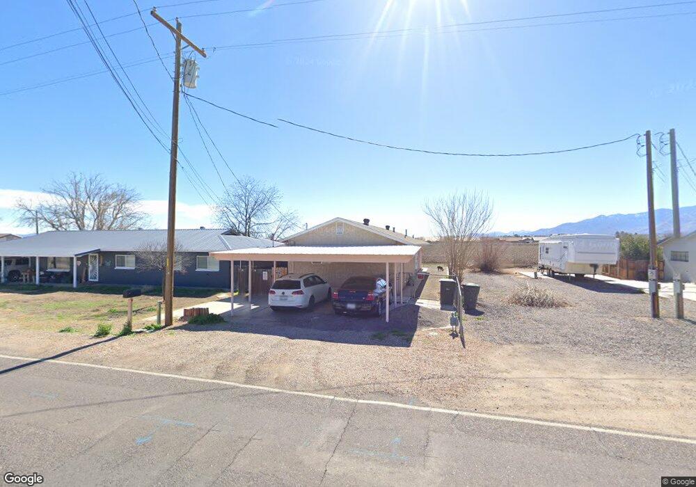
409 E 20th St Safford, AZ 85546
Estimated Value: $214,000 - $243,905
--
Bed
--
Bath
1,280
Sq Ft
$181/Sq Ft
Est. Value
About This Home
This home is located at 409 E 20th St, Safford, AZ 85546 and is currently estimated at $232,226, approximately $181 per square foot. 409 E 20th St is a home located in Graham County with nearby schools including Dorothy Stinson School, Ruth Powell Elementary School, and Lafe Nelson School.
Ownership History
Date
Name
Owned For
Owner Type
Purchase Details
Closed on
Feb 12, 2018
Sold by
Meier August J
Bought by
Henderson Daniel T
Current Estimated Value
Home Financials for this Owner
Home Financials are based on the most recent Mortgage that was taken out on this home.
Original Mortgage
$88,825
Outstanding Balance
$75,227
Interest Rate
3.99%
Mortgage Type
New Conventional
Estimated Equity
$156,999
Purchase Details
Closed on
May 30, 2013
Sold by
Harris George Trent and Harris Janet Allyn
Bought by
Meier August J
Home Financials for this Owner
Home Financials are based on the most recent Mortgage that was taken out on this home.
Original Mortgage
$86,772
Interest Rate
3.79%
Mortgage Type
VA
Create a Home Valuation Report for This Property
The Home Valuation Report is an in-depth analysis detailing your home's value as well as a comparison with similar homes in the area
Home Values in the Area
Average Home Value in this Area
Purchase History
| Date | Buyer | Sale Price | Title Company |
|---|---|---|---|
| Henderson Daniel T | $93,500 | Stewart Title & Trust | |
| Meier August J | $84,000 | Safford Title Agency Inc |
Source: Public Records
Mortgage History
| Date | Status | Borrower | Loan Amount |
|---|---|---|---|
| Open | Henderson Daniel T | $88,825 | |
| Previous Owner | Meier August J | $86,772 |
Source: Public Records
Tax History Compared to Growth
Tax History
| Year | Tax Paid | Tax Assessment Tax Assessment Total Assessment is a certain percentage of the fair market value that is determined by local assessors to be the total taxable value of land and additions on the property. | Land | Improvement |
|---|---|---|---|---|
| 2026 | $839 | -- | -- | -- |
| 2025 | $839 | $14,004 | $670 | $13,334 |
| 2024 | $864 | $13,281 | $670 | $12,611 |
| 2023 | $864 | $11,158 | $618 | $10,540 |
| 2022 | $846 | $9,815 | $618 | $9,197 |
| 2021 | $921 | $0 | $0 | $0 |
| 2020 | $885 | $0 | $0 | $0 |
| 2019 | $924 | $0 | $0 | $0 |
| 2018 | $871 | $0 | $0 | $0 |
| 2017 | $925 | $0 | $0 | $0 |
| 2016 | $897 | $0 | $0 | $0 |
| 2015 | $697 | $0 | $0 | $0 |
Source: Public Records
Map
Nearby Homes
- 417 E Lone Star Rd
- 222 E 20th St
- 115 W 15th St
- 220 W 16th St
- 550 W Burrell Ln
- 315 W 24th St
- 120 Relation St Unit 2
- 1204 S 1st Ave
- 514 W 15th St
- 1105 S 1st Ave
- 1209 S 6th Ave
- 1302 S 7th Ave
- 1217 S 7th Ave
- 2204 S 10th Ave
- 1006 W Palm Cir
- 832 W Stirrup Dr
- 1785 Camilla Cir
- 1309 S Bingham Place
- 1348 Roper Ln
- 1210 S Coventry Dr