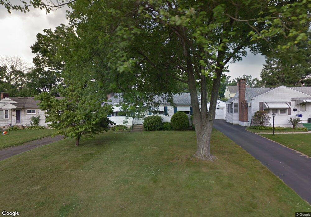
41 Marmor Ct Wethersfield, CT 06109
Estimated Value: $334,709 - $377,000
3
Beds
1
Bath
960
Sq Ft
$367/Sq Ft
Est. Value
About This Home
This home is located at 41 Marmor Ct, Wethersfield, CT 06109 and is currently estimated at $351,927, approximately $366 per square foot. 41 Marmor Ct is a home located in Hartford County with nearby schools including Emerson-Williams School, Silas Deane Middle School, and Wethersfield High School.
Ownership History
Date
Name
Owned For
Owner Type
Purchase Details
Closed on
Oct 29, 2018
Sold by
Gingras Carol J and Stetson Robert J
Bought by
Kaspin Jason E
Current Estimated Value
Home Financials for this Owner
Home Financials are based on the most recent Mortgage that was taken out on this home.
Original Mortgage
$190,993
Outstanding Balance
$167,250
Interest Rate
4.6%
Mortgage Type
Purchase Money Mortgage
Estimated Equity
$184,677
Purchase Details
Closed on
Jan 8, 2016
Sold by
Stetson Claire L
Bought by
Gingras Carol J
Create a Home Valuation Report for This Property
The Home Valuation Report is an in-depth analysis detailing your home's value as well as a comparison with similar homes in the area
Home Values in the Area
Average Home Value in this Area
Purchase History
| Date | Buyer | Sale Price | Title Company |
|---|---|---|---|
| Kaspin Jason E | $196,900 | -- | |
| Kaspin Jason E | $196,900 | -- | |
| Gingras Carol J | -- | -- | |
| Stetson Robert J | -- | -- |
Source: Public Records
Mortgage History
| Date | Status | Borrower | Loan Amount |
|---|---|---|---|
| Open | Stetson Robert J | $190,993 | |
| Closed | Stetson Robert J | $5,907 |
Source: Public Records
Tax History
| Year | Tax Paid | Tax Assessment Tax Assessment Total Assessment is a certain percentage of the fair market value that is determined by local assessors to be the total taxable value of land and additions on the property. | Land | Improvement |
|---|---|---|---|---|
| 2025 | $8,226 | $199,570 | $90,050 | $109,520 |
| 2024 | $5,656 | $130,860 | $64,450 | $66,410 |
| 2023 | $5,467 | $130,860 | $64,450 | $66,410 |
| 2022 | $5,376 | $130,860 | $64,450 | $66,410 |
| 2021 | $5,322 | $130,860 | $64,450 | $66,410 |
| 2020 | $5,325 | $130,860 | $64,450 | $66,410 |
| 2019 | $5,331 | $130,860 | $64,450 | $66,410 |
| 2018 | $4,955 | $121,500 | $60,700 | $60,800 |
| 2017 | $4,832 | $121,500 | $60,700 | $60,800 |
| 2016 | $4,683 | $121,500 | $60,700 | $60,800 |
| 2015 | $4,640 | $121,500 | $60,700 | $60,800 |
| 2014 | $4,464 | $121,500 | $60,700 | $60,800 |
Source: Public Records
Map
Nearby Homes
- 750 Wolcott Hill Rd
- 131 Coleman Rd
- 108 Chamberlain Rd
- 38 Wheeler Rd
- 35 Stillwold Dr
- 250 Edward St
- 137 Dale Rd
- 31 Ox Yoke Dr
- 147 Spring St
- 195 Middletown Ave
- 89 Merriman Rd
- 91 Somerset St
- 87 Somerset St
- 455 Brimfield Rd
- 11 Charter Rd
- 764 Ridge Rd
- 23 Hillcrest Ave
- 1 Fernwood St
- 192 Wolcott Hill Rd
- 317-319 Garden St
Your Personal Tour Guide
Ask me questions while you tour the home.