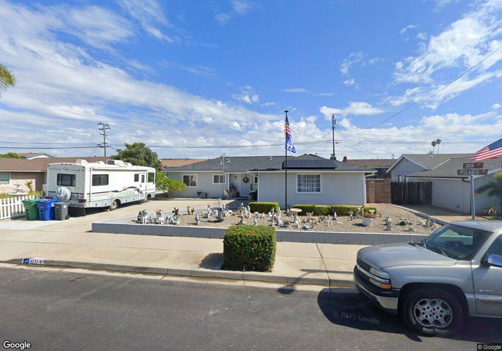
4131 Polaris Ave Lompoc, CA 93436
Estimated Value: $566,000 - $769,232
4
Beds
2
Baths
1,296
Sq Ft
$485/Sq Ft
Est. Value
About This Home
This home is located at 4131 Polaris Ave, Lompoc, CA 93436 and is currently estimated at $628,058, approximately $484 per square foot. 4131 Polaris Ave is a home located in Santa Barbara County with nearby schools including Buena Vista Elementary School, Cabrillo High School, and Olive Grove Charter - Lompoc.
Ownership History
Date
Name
Owned For
Owner Type
Purchase Details
Closed on
Aug 2, 2018
Sold by
Dwyer David Michael O
Bought by
Dwyer David Michael O and David Michael O Dwyer Revocabl
Current Estimated Value
Purchase Details
Closed on
Aug 23, 2011
Sold by
Odwyer Mariechen F
Bought by
Odwyer Mariechen F and Odwyer David Michael
Create a Home Valuation Report for This Property
The Home Valuation Report is an in-depth analysis detailing your home's value as well as a comparison with similar homes in the area
Home Values in the Area
Average Home Value in this Area
Purchase History
| Date | Buyer | Sale Price | Title Company |
|---|---|---|---|
| Dwyer David Michael O | -- | None Available | |
| Odwyer Mariechen F | -- | None Available |
Source: Public Records
Tax History
| Year | Tax Paid | Tax Assessment Tax Assessment Total Assessment is a certain percentage of the fair market value that is determined by local assessors to be the total taxable value of land and additions on the property. | Land | Improvement |
|---|---|---|---|---|
| 2025 | $1,019 | $67,353 | $17,062 | $50,291 |
| 2023 | $1,019 | $64,739 | $16,400 | $48,339 |
| 2022 | $1,004 | $63,471 | $16,079 | $47,392 |
| 2021 | $1,010 | $62,227 | $15,764 | $46,463 |
| 2020 | $1,002 | $61,590 | $15,603 | $45,987 |
| 2019 | $990 | $60,384 | $15,298 | $45,086 |
| 2018 | $979 | $59,201 | $14,999 | $44,202 |
| 2017 | $876 | $58,041 | $14,705 | $43,336 |
| 2016 | $592 | $56,904 | $14,417 | $42,487 |
| 2014 | $577 | $54,953 | $13,923 | $41,030 |
Source: Public Records
Map
Nearby Homes
- 232 Vega Ave
- 113 Gemini Ave
- 3939 Mesa Circle Dr
- 3922 Mesa Circle Dr
- 3916 Mesa Circle Dr Unit A
- 6 Stanford Cir
- 73 Stanford Cir
- 250 Saint Andrews Way
- 372 Oak Hill Dr
- 0 Oak Hill Dr Unit 24-783
- 240 Oak Hill Dr
- 649 Burning Tree Way
- 3725 Jupiter Ave
- 758 Voyager Rd
- 1445 Calle Marana
- 972 Pellham Dr
- 3660 Rucker Rd
- 832 Onstott Rd
- 892 Onstott Rd
- 1141 Pellham Dr
- 4125 Polaris Ave
- 4139 Polaris Ave
- 4132 Constellation Rd
- 4140 Constellation Rd Unit 2
- 4124 Constellation Rd Unit 2
- 4115 Polaris Ave
- 4147 Polaris Ave Unit 1
- 223 Orion Ave Unit 2
- 4148 Constellation Rd
- 224 Orion Ave
- 4157 Polaris Ave Unit 1
- 4109 Polaris Ave
- 224 Vega Ave
- 227 Orion Ave
- 4158 Constellation Rd
- 228 Orion Ave
- 227 Aldebaran Ave
- 4167 Polaris Ave
- 228 Vega Ave
Your Personal Tour Guide
Ask me questions while you tour the home.