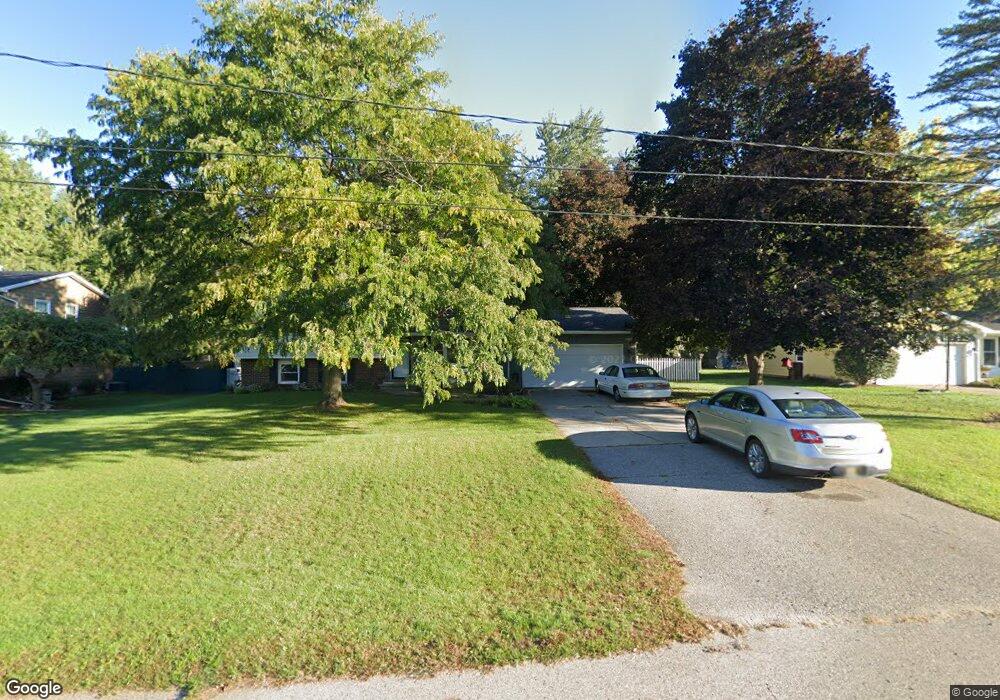
4154 Westwind Dr Dewitt, MI 48820
Estimated Value: $285,874 - $346,000
4
Beds
2
Baths
1,452
Sq Ft
$219/Sq Ft
Est. Value
About This Home
This home is located at 4154 Westwind Dr, Dewitt, MI 48820 and is currently estimated at $318,469, approximately $219 per square foot. 4154 Westwind Dr is a home located in Clinton County with nearby schools including Schavey Road Elementary School, Herbison Woods Elementary School, and Scott Elementary School.
Ownership History
Date
Name
Owned For
Owner Type
Purchase Details
Closed on
Sep 2, 2011
Sold by
George Vernon Trust
Bought by
Sali Brandi
Current Estimated Value
Home Financials for this Owner
Home Financials are based on the most recent Mortgage that was taken out on this home.
Original Mortgage
$148,005
Interest Rate
4.12%
Mortgage Type
New Conventional
Purchase Details
Closed on
Jul 27, 2004
Sold by
Vernon George E and Vernon Linda M
Bought by
Vernon George E and Vernon Linda M
Create a Home Valuation Report for This Property
The Home Valuation Report is an in-depth analysis detailing your home's value as well as a comparison with similar homes in the area
Home Values in the Area
Average Home Value in this Area
Purchase History
| Date | Buyer | Sale Price | Title Company |
|---|---|---|---|
| Sali Brandi | $143,000 | None Available | |
| Vernon George E | -- | -- |
Source: Public Records
Mortgage History
| Date | Status | Borrower | Loan Amount |
|---|---|---|---|
| Previous Owner | Sali Brandi | $148,005 |
Source: Public Records
Tax History
| Year | Tax Paid | Tax Assessment Tax Assessment Total Assessment is a certain percentage of the fair market value that is determined by local assessors to be the total taxable value of land and additions on the property. | Land | Improvement |
|---|---|---|---|---|
| 2025 | $3,177 | $104,250 | $30,500 | $73,750 |
| 2024 | $10 | $100,200 | $29,150 | $71,050 |
| 2023 | $910 | $96,100 | $0 | $0 |
| 2022 | $2,874 | $86,200 | $26,250 | $59,950 |
| 2021 | $3,200 | $84,250 | $26,000 | $58,250 |
| 2020 | $3,008 | $79,000 | $24,050 | $54,950 |
| 2019 | $2,943 | $73,700 | $23,100 | $50,600 |
| 2018 | $2,821 | $74,750 | $21,900 | $52,850 |
| 2017 | $2,806 | $75,150 | $21,950 | $53,200 |
| 2016 | $2,806 | $71,550 | $20,950 | $50,600 |
| 2015 | $2,781 | $66,050 | $0 | $0 |
| 2011 | -- | $68,750 | $0 | $0 |
Source: Public Records
Map
Nearby Homes
- 4083 W Herbison Rd
- 00 Driftwood Dr
- 0 Driftwood Dr
- 12684 Airport Rd
- 4270 Calipso Ct
- 1605 Stauffer Ln
- 1225 Schavey Rd
- 13894 Luroma Cir
- 11740 Kalamata Dr
- 2969 Moccasin Dr
- 2984 Moccasin Dr
- 13871 Kaleidoscope Dr
- 13865 Kaleidoscope Dr
- 11625 Murano Dr Unit 63
- 3535 Stanwood Dr
- 603 Cherry St
- 1114 N Chimney Hill Dr
- 14013 Ambrosia Ave
- 2407 W Clark Rd
- 303 W Washington St
- 4138 Westwind Dr
- 4164 Westwind Dr
- 4149 W Herbison Rd
- 4143 W Herbison Rd
- 4120 Westwind Dr
- 13077 Shadybrook Ln
- 4137 Westwind Ln
- 4151 Westwind Dr
- 4151 Westwind Ln
- 13001 Shadybrook Ln
- 4137 Westwind Dr
- 13105 Shadybrook Ln
- 4123 W Herbison Rd
- 4100 Westwind Dr
- Vl W Herbison Rd
- 13104 Southwind Dr
- 13054 Shadybrook Ln
- 13076 Shadybrook Ln
- 13131 Shadybrook Ln
- 13002 Shadybrook Ln
Your Personal Tour Guide
Ask me questions while you tour the home.