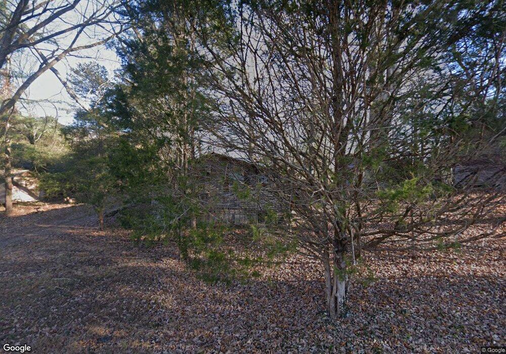
419 Forrest Ave Clinton, TN 37716
Estimated Value: $98,836 - $207,000
Studio
1
Bath
644
Sq Ft
$255/Sq Ft
Est. Value
About This Home
This home is located at 419 Forrest Ave, Clinton, TN 37716 and is currently estimated at $164,209, approximately $254 per square foot. 419 Forrest Ave is a home located in Anderson County with nearby schools including North Clinton Elementary School and Clinton High School.
Ownership History
Date
Name
Owned For
Owner Type
Purchase Details
Closed on
Jun 5, 1989
Bought by
Russell Billie Charles
Current Estimated Value
Create a Home Valuation Report for This Property
The Home Valuation Report is an in-depth analysis detailing your home's value as well as a comparison with similar homes in the area
Home Values in the Area
Average Home Value in this Area
Purchase History
| Date | Buyer | Sale Price | Title Company |
|---|---|---|---|
| Russell Billie Charles | $17,500 | -- |
Source: Public Records
Tax History
| Year | Tax Paid | Tax Assessment Tax Assessment Total Assessment is a certain percentage of the fair market value that is determined by local assessors to be the total taxable value of land and additions on the property. | Land | Improvement |
|---|---|---|---|---|
| 2025 | -- | $30,575 | $11,150 | $19,425 |
| 2024 | -- | $15,200 | $5,075 | $10,125 |
| 2023 | $395 | $15,200 | $0 | $0 |
| 2022 | $526 | $15,200 | $5,075 | $10,125 |
| 2021 | $526 | $15,200 | $5,075 | $10,125 |
| 2020 | $490 | $15,200 | $5,075 | $10,125 |
| 2019 | $504 | $13,250 | $4,975 | $8,275 |
| 2018 | $491 | $13,250 | $4,975 | $8,275 |
| 2017 | $491 | $13,250 | $4,975 | $8,275 |
| 2016 | $519 | $13,250 | $4,975 | $8,275 |
| 2015 | -- | $14,025 | $4,975 | $9,050 |
| 2014 | -- | $14,025 | $4,975 | $9,050 |
| 2013 | -- | $16,375 | $0 | $0 |
Source: Public Records
Map
Nearby Homes
- 925 Loy St
- 914 Mcadoo St
- 905 Mcadoo St
- 818 Medaris St
- 804 Lake City Hwy
- 109 Westwood Dr
- 620 Cagle St
- 729 N Charles G Seivers Blvd
- 101 E Maire Ave
- 201 W Washington Ave
- 311 Spring St
- 312 Westwood Dr
- 400 Eagle Bend Ln
- 218 Christin Dr
- 606 Eagle Bend Rd
- 407 Eagle Bend Ln
- 400 N Main St
- 501 Westbury Dr
- 159 Carroll Hollow Rd
- 405 Central St
- 903 Rogers St
- 418 Forrest Ave
- 415 Forrest Ave
- 0 Rogers Forrest St Unit 1206515
- 416 Forrest Ave
- 412 Forrest Ave
- 409 Forrest Ave
- 403 Park Ave
- 501 Park Ave
- 901 Rogers St
- 410 Forrest Ave
- 407 Forrest Ave
- 206 Shaw Rd
- 505 Park Ave
- 827 Rogers St
- 830 Rogers St
- 908 High St
- 404 Forrest Ave
- 912 Loy St
- 154 Shaw Rd
Your Personal Tour Guide
Ask me questions while you tour the home.