Estimated Value: $189,000 - $237,000
3
Beds
2
Baths
1,334
Sq Ft
$160/Sq Ft
Est. Value
About This Home
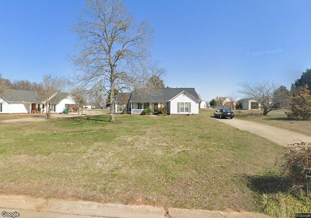
This home is located at 420 Mcfall Ct, Moore, SC 29369 and is currently estimated at $213,882, approximately $160 per square foot. 420 Mcfall Ct is a home located in Spartanburg County with nearby schools including Dorman High School Freshman Campus and Dorman High School.
Ownership History
Date
Name
Owned For
Owner Type
Purchase Details
Closed on
Apr 29, 2005
Sold by
Everton Kevin C and Everton Kimbelry C
Bought by
Simpson Mickey Lee and Honeycutt Clint Edward
Current Estimated Value
Home Financials for this Owner
Home Financials are based on the most recent Mortgage that was taken out on this home.
Original Mortgage
$102,040
Outstanding Balance
$53,339
Interest Rate
5.98%
Mortgage Type
New Conventional
Estimated Equity
$160,543
Purchase Details
Closed on
Feb 20, 2003
Sold by
Cox Kimberly M and Everton Kimberly C
Bought by
Everton Kevin C and Everton Kimberly C
Create a Home Valuation Report for This Property
The Home Valuation Report is an in-depth analysis detailing your home's value as well as a comparison with similar homes in the area
Home Values in the Area
Average Home Value in this Area
Purchase History
| Date | Buyer | Sale Price | Title Company |
|---|---|---|---|
| Simpson Mickey Lee | $100,000 | -- | |
| Everton Kevin C | -- | -- |
Source: Public Records
Mortgage History
| Date | Status | Borrower | Loan Amount |
|---|---|---|---|
| Open | Simpson Mickey Lee | $102,040 |
Source: Public Records
Tax History
| Year | Tax Paid | Tax Assessment Tax Assessment Total Assessment is a certain percentage of the fair market value that is determined by local assessors to be the total taxable value of land and additions on the property. | Land | Improvement |
|---|---|---|---|---|
| 2022 | $813 | $4,517 | $692 | $3,825 |
| 2021 | $820 | $4,517 | $692 | $3,825 |
| 2020 | $797 | $4,517 | $692 | $3,825 |
| 2019 | $797 | $4,517 | $692 | $3,825 |
| 2018 | $793 | $4,517 | $692 | $3,825 |
| 2017 | $692 | $3,928 | $720 | $3,208 |
| 2016 | $691 | $3,928 | $720 | $3,208 |
| 2015 | $676 | $3,928 | $720 | $3,208 |
| 2014 | $649 | $3,928 | $720 | $3,208 |
Source: Public Records
Map
Nearby Homes
- 210 Saluda Rd
- 130 Graystone Dr
- 123 Graystone Dr
- 0 Gas Plant Rd Unit 298182
- 0 Gas Plant Rd Unit 298177
- 0 U S 221 North Hwy
- 1150 Matisse Cir
- 00 Pearson Town Rd
- 624 Pearson Town Rd
- 874 Rodin Rd
- 949 Titian St
- 940 Titian St
- 747 Rodin Rd
- 751 Rodin Rd
- 755 Rodin Rd
- Parker Plan at Iris Meadows
- Augusta Plan at Iris Meadows
- Cooper 3 Plan at Iris Meadows
- Middleton Plan at Iris Meadows
- Drayton Plan at Iris Meadows
- 424 Mcfall Ct
- 412 Mcfall Ct
- 320 Broadway Hill Dr
- 430 Mcfall Ct
- 314 Broadway Hill Dr
- 402 Mcfall Ct
- 436 Mcfall Ct
- 429 Mcfall Ct
- 417 Mcfall Ct
- 425 Mcfall Ct
- 106 Saluda Rd
- 409 Mcfall Ct
- 437 Mcfall Ct
- 413 Mcfall Ct
- 104 Saluda Rd
- 405 Mcfall Ct
- 433 Mcfall Ct
- 112 Saluda Rd
- 102 Saluda Rd
- 317 Broadway Hill Dr
Your Personal Tour Guide
Ask me questions while you tour the home.