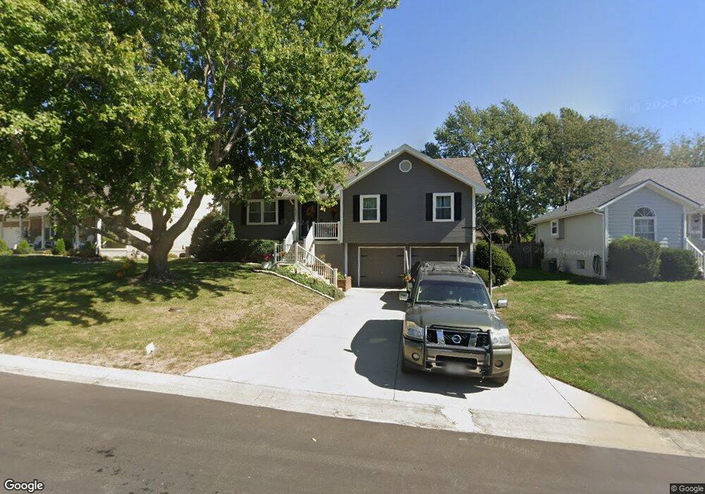
420 NE Station Dr Lees Summit, MO 64086
Estimated Value: $317,989 - $338,000
3
Beds
2
Baths
1,410
Sq Ft
$233/Sq Ft
Est. Value
About This Home
This home is located at 420 NE Station Dr, Lees Summit, MO 64086 and is currently estimated at $328,247, approximately $232 per square foot. 420 NE Station Dr is a home located in Jackson County with nearby schools including Meadow Lane Elementary School, Bernard C. Campbell Middle School, and Lee's Summit North High School.
Ownership History
Date
Name
Owned For
Owner Type
Purchase Details
Closed on
Mar 14, 2002
Sold by
Miller Paul Lurton and Miller Karen Gay
Bought by
Brisco Norman L and Brisco Aimee M
Current Estimated Value
Home Financials for this Owner
Home Financials are based on the most recent Mortgage that was taken out on this home.
Original Mortgage
$133,827
Outstanding Balance
$55,706
Interest Rate
7.01%
Mortgage Type
FHA
Estimated Equity
$272,541
Create a Home Valuation Report for This Property
The Home Valuation Report is an in-depth analysis detailing your home's value as well as a comparison with similar homes in the area
Home Values in the Area
Average Home Value in this Area
Purchase History
| Date | Buyer | Sale Price | Title Company |
|---|---|---|---|
| Brisco Norman L | -- | Metro One Title |
Source: Public Records
Mortgage History
| Date | Status | Borrower | Loan Amount |
|---|---|---|---|
| Open | Brisco Norman L | $133,827 |
Source: Public Records
Tax History Compared to Growth
Tax History
| Year | Tax Paid | Tax Assessment Tax Assessment Total Assessment is a certain percentage of the fair market value that is determined by local assessors to be the total taxable value of land and additions on the property. | Land | Improvement |
|---|---|---|---|---|
| 2025 | $3,898 | $46,486 | $8,098 | $38,388 |
| 2024 | $3,898 | $53,990 | $6,156 | $47,834 |
| 2023 | $3,870 | $53,990 | $6,553 | $47,437 |
| 2022 | $2,837 | $35,150 | $4,319 | $30,831 |
| 2021 | $2,896 | $35,150 | $4,319 | $30,831 |
| 2020 | $2,725 | $32,753 | $4,319 | $28,434 |
| 2019 | $2,651 | $32,753 | $4,319 | $28,434 |
| 2018 | $2,486 | $28,506 | $3,759 | $24,747 |
| 2017 | $2,486 | $28,506 | $3,759 | $24,747 |
| 2016 | $2,366 | $26,847 | $4,389 | $22,458 |
| 2014 | $2,370 | $26,373 | $4,377 | $21,996 |
Source: Public Records
Map
Nearby Homes
- 1236 NE Florence Ave
- 1319 NE Depot Dr
- 1307 NE Florence Ave
- 1300 NE Browning Ln
- 653 NE Reed Crossing
- 1204 NE Beacon Ave
- 717 NE Mulberry St
- 718 NE Mulberry St
- 732 NE Deerbrook St
- 800 NE Mulberry St
- 809 NE Mulberry St
- 808 NE Mulberry St
- 1708 NE Balboa St
- 1104 NE Ridgeview Dr
- 1121 NE Ridgeview Dr
- 807 NE Balboa St
- 705 NE Chipman Rd
- 1501 NE Deer Ct
- 1637 NE Westwind Dr
- 508 NW Main St
- 418 NE Station Dr
- 422 NE Station Dr
- 424 NE Station Dr
- 1304 NE Depot Dr
- 423 NE Station Dr
- 1300 NE Depot Dr
- 416 NE Station Dr
- 425 NE Station Dr
- 421 NE Station Dr
- 1308 NE Depot Dr
- 427 NE Station Dr
- 419 NE Station Dr
- 426 NE Station Dr
- 1246 NE Depot Dr
- 414 NE Station Dr
- 417 NE Station Dr
- 429 NE Station Dr
- 1312 NE Depot Dr
- 428 NE Station Dr
- 1242 NE Depot Dr