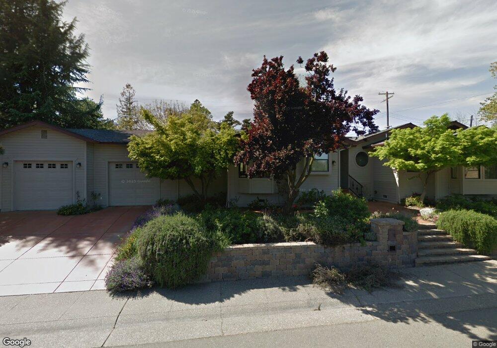
4225 Wenatchee Ct Fair Oaks, CA 95628
Estimated Value: $425,000 - $932,000
3
Beds
2
Baths
2,037
Sq Ft
$333/Sq Ft
Est. Value
About This Home
This home is located at 4225 Wenatchee Ct, Fair Oaks, CA 95628 and is currently estimated at $679,089, approximately $333 per square foot. 4225 Wenatchee Ct is a home located in Sacramento County with nearby schools including Carmichael Elementary School, John Barrett Middle School, and Del Campo High School.
Ownership History
Date
Name
Owned For
Owner Type
Purchase Details
Closed on
Jun 11, 2011
Sold by
Aamodt Carl and Lin Aamodt Sarah
Bought by
Aamodt Carl H and Lin Aamodt Sarah Y
Current Estimated Value
Purchase Details
Closed on
May 20, 1998
Sold by
Smith Lloyd L and Smith Marcia M
Bought by
Aamodt Carl and Lin Aamodt Sarah
Home Financials for this Owner
Home Financials are based on the most recent Mortgage that was taken out on this home.
Original Mortgage
$151,600
Interest Rate
7.13%
Create a Home Valuation Report for This Property
The Home Valuation Report is an in-depth analysis detailing your home's value as well as a comparison with similar homes in the area
Home Values in the Area
Average Home Value in this Area
Purchase History
| Date | Buyer | Sale Price | Title Company |
|---|---|---|---|
| Aamodt Carl H | -- | None Available | |
| Aamodt Carl | $189,500 | Fidelity National Title Co |
Source: Public Records
Mortgage History
| Date | Status | Borrower | Loan Amount |
|---|---|---|---|
| Previous Owner | Aamodt Carl | $151,600 |
Source: Public Records
Tax History
| Year | Tax Paid | Tax Assessment Tax Assessment Total Assessment is a certain percentage of the fair market value that is determined by local assessors to be the total taxable value of land and additions on the property. | Land | Improvement |
|---|---|---|---|---|
| 2025 | $4,296 | $361,665 | $79,824 | $281,841 |
| 2024 | $4,296 | $354,574 | $78,259 | $276,315 |
| 2023 | $4,170 | $347,623 | $76,725 | $270,898 |
| 2022 | $4,152 | $340,808 | $75,221 | $265,587 |
| 2021 | $4,071 | $334,127 | $73,747 | $260,380 |
| 2020 | $4,011 | $330,702 | $72,991 | $257,711 |
| 2019 | $3,908 | $324,218 | $71,560 | $252,658 |
| 2018 | $3,821 | $317,861 | $70,157 | $247,704 |
| 2017 | $3,781 | $311,630 | $68,782 | $242,848 |
| 2016 | $3,531 | $305,521 | $67,434 | $238,087 |
| 2015 | $3,469 | $300,933 | $66,422 | $234,511 |
| 2014 | $3,395 | $295,039 | $65,121 | $229,918 |
Source: Public Records
Map
Nearby Homes
- 7841 Lemon St
- 4215 New York Ave
- 7786 Winding Way
- 4040 Minnesota Ave
- 7637 Vasos Way
- 0 Ridge St Unit 225129517
- 0 Ridge St Unit 224054501
- 8053 Sierra St
- 4134 Bannister Rd
- 4134-lot 1 Bannister Rd
- 4128 Hill St
- 7408 Santa Susana Way
- 7431 Heidi Ct
- 7825 Greenridge Way
- 3909 Edgevale Ct
- 7605 Sunset Ave
- 1833 Discovery Village Ln
- 8200 Shangrila Dr
- 8068 Jaden Ln
- 7818 Tamara Dr
Your Personal Tour Guide
Ask me questions while you tour the home.