4269 Frying Pan Rd Unit Lot 2 Basalt, CO 81621
Estimated Value: $1,551,000 - $2,551,000
4
Beds
5
Baths
4,934
Sq Ft
$431/Sq Ft
Est. Value
About This Home
This home is located at 4269 Frying Pan Rd Unit Lot 2, Basalt, CO 81621 and is currently estimated at $2,127,818, approximately $431 per square foot. 4269 Frying Pan Rd Unit Lot 2 is a home located in Eagle County.
Ownership History
Date
Name
Owned For
Owner Type
Purchase Details
Closed on
Nov 25, 2025
Sold by
Toney William A
Bought by
Bill Toney Revocable Living Trust
Current Estimated Value
Purchase Details
Closed on
Dec 22, 2004
Sold by
Pendleton Alice C
Bought by
Pendleton Alice C and Toney William A
Purchase Details
Closed on
Jan 15, 2000
Sold by
Davis Kenneth D
Bought by
Davis Kenneth D and Davis Robbie
Home Financials for this Owner
Home Financials are based on the most recent Mortgage that was taken out on this home.
Original Mortgage
$200,000
Interest Rate
7.95%
Mortgage Type
Construction
Purchase Details
Closed on
Sep 4, 1998
Sold by
C Alice
Bought by
Pendleton Alice C
Home Financials for this Owner
Home Financials are based on the most recent Mortgage that was taken out on this home.
Original Mortgage
$400,000
Interest Rate
6.93%
Create a Home Valuation Report for This Property
The Home Valuation Report is an in-depth analysis detailing your home's value as well as a comparison with similar homes in the area
Home Values in the Area
Average Home Value in this Area
Purchase History
| Date | Buyer | Sale Price | Title Company |
|---|---|---|---|
| Bill Toney Revocable Living Trust | -- | None Listed On Document | |
| Pendleton Alice C | -- | -- | |
| Davis Kenneth D | -- | Stewart Title | |
| Pendleton Alice C | -- | Stewart Title |
Source: Public Records
Mortgage History
| Date | Status | Borrower | Loan Amount |
|---|---|---|---|
| Previous Owner | Davis Kenneth D | $200,000 | |
| Previous Owner | Pendleton Alice C | $400,000 |
Source: Public Records
Tax History Compared to Growth
Tax History
| Year | Tax Paid | Tax Assessment Tax Assessment Total Assessment is a certain percentage of the fair market value that is determined by local assessors to be the total taxable value of land and additions on the property. | Land | Improvement |
|---|---|---|---|---|
| 2024 | $8,518 | $114,430 | $46,740 | $67,690 |
| 2023 | $8,518 | $114,430 | $46,740 | $67,690 |
| 2022 | $3,928 | $48,870 | $13,900 | $34,970 |
| 2021 | $4,037 | $50,280 | $14,300 | $35,980 |
| 2020 | $3,846 | $50,280 | $14,300 | $35,980 |
| 2019 | $3,882 | $50,280 | $14,300 | $35,980 |
| 2018 | $4,042 | $51,860 | $14,400 | $37,460 |
| 2017 | $3,827 | $51,860 | $14,400 | $37,460 |
| 2016 | $3,368 | $44,830 | $13,930 | $30,900 |
| 2015 | -- | $44,830 | $13,930 | $30,900 |
| 2014 | $3,021 | $42,330 | $13,930 | $28,400 |
Source: Public Records
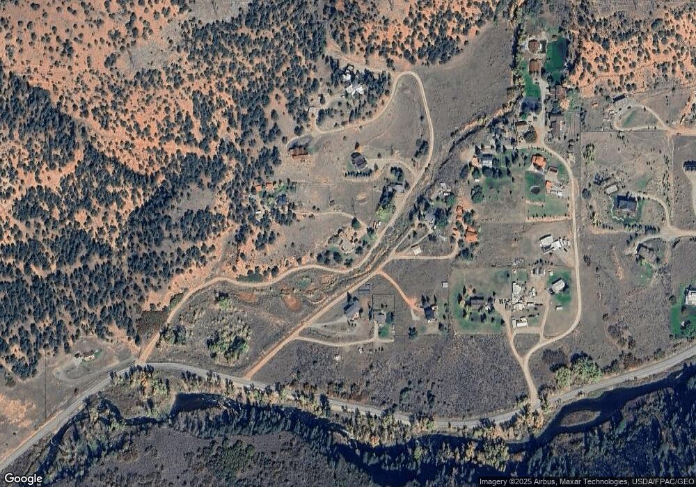
Map
Nearby Homes
- 4959 Frying Pan Rd
- 5045 Frying Pan Rd
- 5129 Frying Pan Rd
- 5548 Frying Pan Rd
- 163 Castle Ln
- 679 Pinon Dr
- 331 Holland Hills Rd Unit 5
- 331 Holland Hills Rd Unit 2
- 27 Lazy Glen
- 805 Pinon Dr Unit 4
- 73 Lazy Glen
- 1018 Lauren Ln
- 1508 Mockingbird Ln
- 755 Hearthstone Dr
- 152 Wren Ct
- 217 Longhorn Ln
- 26513 Highway 82
- 175 Midland Ave Unit 10
- 175 Midland Ave Unit 4
- 165 Midland Ave
- 4269 Frying Pan Rd
- 4269 Frying Pan Rd
- 4269 Frying Pan Rd Unit Lot 3
- 4277 Frying Pan Rd
- 4271 Frying Pan Rd
- 4287 Frying Pan Rd
- 4285 Frying Pan Rd
- 4275 Frying Pan Rd
- 4281 Frying Pan Rd
- 4299 Frying Pan Rd
- 4293 Frying Pan Rd
- 4295 Frying Pan Rd
- 4585 Frying Pan Rd
- 4575 Frying Pan Rd
- 4517 Frying Pan Rd
- 4227 Frying Pan Rd
- 4565 Frying Pan Rd
- 4557 Frying Pan Rd
- 4541 Frying Pan Rd
- 4529 Frying Pan Rd