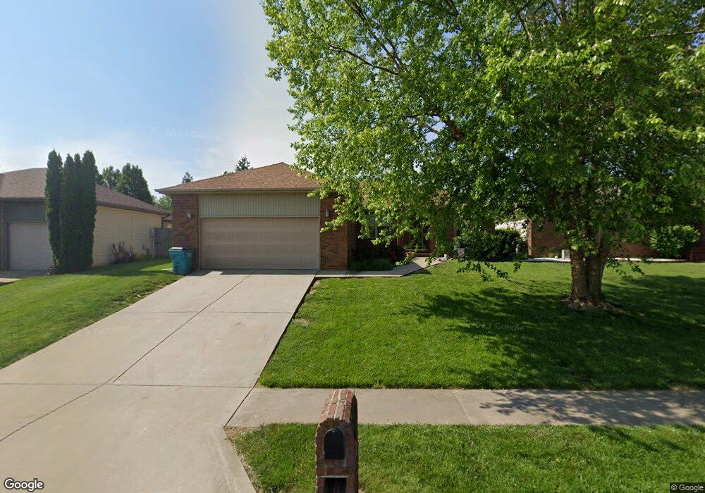
4342 White Pine St Springfield, MO 65802
Young-Lilly NeighborhoodEstimated Value: $268,000 - $288,000
3
Beds
2
Baths
1,901
Sq Ft
$148/Sq Ft
Est. Value
About This Home
This home is located at 4342 White Pine St, Springfield, MO 65802 and is currently estimated at $281,391, approximately $148 per square foot. 4342 White Pine St is a home located in Greene County with nearby schools including Willard Intermediate-South.
Ownership History
Date
Name
Owned For
Owner Type
Purchase Details
Closed on
Apr 7, 2022
Sold by
Kay Townsend Retha
Bought by
Blackford John Donald and Blackford Mallarie Ann
Current Estimated Value
Home Financials for this Owner
Home Financials are based on the most recent Mortgage that was taken out on this home.
Original Mortgage
$242,500
Outstanding Balance
$228,880
Interest Rate
4.72%
Mortgage Type
New Conventional
Estimated Equity
$52,511
Purchase Details
Closed on
Feb 28, 2006
Sold by
Coatney Properties Llc
Bought by
Townsend Retha Kay
Create a Home Valuation Report for This Property
The Home Valuation Report is an in-depth analysis detailing your home's value as well as a comparison with similar homes in the area
Home Values in the Area
Average Home Value in this Area
Purchase History
| Date | Buyer | Sale Price | Title Company |
|---|---|---|---|
| Blackford John Donald | -- | None Listed On Document | |
| Townsend Retha Kay | -- | None Available |
Source: Public Records
Mortgage History
| Date | Status | Borrower | Loan Amount |
|---|---|---|---|
| Open | Blackford John Donald | $242,500 |
Source: Public Records
Tax History
| Year | Tax Paid | Tax Assessment Tax Assessment Total Assessment is a certain percentage of the fair market value that is determined by local assessors to be the total taxable value of land and additions on the property. | Land | Improvement |
|---|---|---|---|---|
| 2025 | $2,230 | $41,250 | $5,700 | $35,550 |
| 2024 | $2,005 | $36,420 | $4,750 | $31,670 |
| 2023 | $1,997 | $36,420 | $4,750 | $31,670 |
| 2022 | $1,737 | $31,500 | $4,750 | $26,750 |
| 2021 | $1,737 | $31,500 | $4,750 | $26,750 |
| 2020 | $1,561 | $28,040 | $4,750 | $23,290 |
| 2019 | $1,554 | $28,040 | $4,750 | $23,290 |
| 2018 | $1,405 | $25,220 | $3,330 | $21,890 |
| 2017 | $1,393 | $24,210 | $3,330 | $20,880 |
| 2016 | $1,330 | $24,210 | $3,330 | $20,880 |
| 2015 | $1,320 | $24,210 | $3,330 | $20,880 |
| 2014 | $1,279 | $23,300 | $3,330 | $19,970 |
Source: Public Records
Map
Nearby Homes
- 4365 W Juno St
- 4442 W Tilden St
- 4562 W Tarkio St
- 651 S Mahn Ave
- 513 S Orchard Crest Ave
- 4418 W State St
- 233 S Lulwood Ave
- 227 S Lulwood Ave
- 4800 W Mount Vernon St
- 826 S Orchard Crest Ave
- 832 S Orchard Crest Ave
- 842 S Orchard Crest Ave
- 208 S York Ave
- 305 S Troy Ave
- 867 S Orchard Crest Ave
- 804 S Jonathan Ave
- 875 S Orchard Crest Ave
- 4409 W Nicholas St
- 4407 W Nicholas St
- 3923 W Kay Pointe Blvd
- 4342 W White Pine St
- 4334 W White Pine St
- 4334 White Pine St
- 4350 White Pine St
- 4350 W White Pine St
- 4339 W Colby St
- 4333 W Colby St
- 4328 W White Pine St
- 4328 White Pine St
- 4345 W Colby St
- 4345 W White Pine St
- 4345 White Pine St
- 4327 W Colby St
- 4337 White Pine St
- 4353 White Pine St
- 4331 W White Pine St
- 4322 White Pine St
- 4322 W White Pine St
- 4331 White Pine St
- 327 S Mahn Ave
Your Personal Tour Guide
Ask me questions while you tour the home.