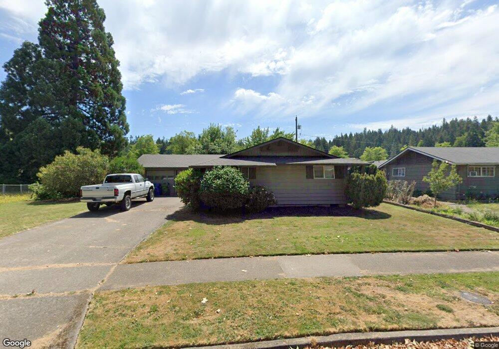
4395 Mill St Eugene, OR 97405
Southeast Eugene NeighborhoodEstimated Value: $419,000 - $498,000
3
Beds
2
Baths
1,056
Sq Ft
$424/Sq Ft
Est. Value
About This Home
This home is located at 4395 Mill St, Eugene, OR 97405 and is currently estimated at $447,682, approximately $423 per square foot. 4395 Mill St is a home located in Lane County with nearby schools including Edgewood Community Elementary School, Spencer Butte Middle School, and South Eugene High School.
Ownership History
Date
Name
Owned For
Owner Type
Purchase Details
Closed on
Feb 6, 2013
Sold by
Piper Donald Jack and Piper Sharon Lura
Bought by
Piper Donald Jack and Piper Sharon Lura
Current Estimated Value
Purchase Details
Closed on
Nov 3, 2011
Sold by
Piper Sharon Lura
Bought by
Piper Donald Jack and Piper Sharon Lura
Purchase Details
Closed on
Nov 7, 2000
Sold by
Lippold Eve H and Tobias Martin H
Bought by
Greyerbiehl Marie N
Purchase Details
Closed on
Jun 5, 1999
Sold by
Tobias Cornelius A and Tobias Ida G
Bought by
Tobias Cornelius A and Lippold Eve H
Create a Home Valuation Report for This Property
The Home Valuation Report is an in-depth analysis detailing your home's value as well as a comparison with similar homes in the area
Home Values in the Area
Average Home Value in this Area
Purchase History
| Date | Buyer | Sale Price | Title Company |
|---|---|---|---|
| Piper Donald Jack | -- | None Available | |
| Piper Donald Jack | -- | Cascade Title Company | |
| Greyerbiehl Marie N | $121,033 | Cascade Title Co | |
| Tobias Cornelius A | -- | -- |
Source: Public Records
Tax History
| Year | Tax Paid | Tax Assessment Tax Assessment Total Assessment is a certain percentage of the fair market value that is determined by local assessors to be the total taxable value of land and additions on the property. | Land | Improvement |
|---|---|---|---|---|
| 2025 | $4,102 | $210,539 | -- | -- |
| 2024 | $4,051 | $204,407 | -- | -- |
| 2023 | $4,051 | $198,454 | $0 | $0 |
| 2022 | $3,795 | $192,674 | $0 | $0 |
| 2021 | $3,565 | $187,063 | $0 | $0 |
| 2020 | $3,577 | $181,615 | $0 | $0 |
| 2019 | $3,455 | $176,326 | $0 | $0 |
| 2018 | $3,252 | $166,205 | $0 | $0 |
| 2017 | $3,106 | $166,205 | $0 | $0 |
| 2016 | $3,029 | $161,364 | $0 | $0 |
| 2015 | $2,942 | $156,664 | $0 | $0 |
| 2014 | $2,876 | $152,101 | $0 | $0 |
Source: Public Records
Map
Nearby Homes
- 4295 Ferry St
- 4023 Donald St Unit K
- 4734 Brookwood St
- 170 E 40th Ave
- 4425 Hilyard St
- 17 Westbrook Way
- 21 Westbrook Way
- 4845 Brookwood St
- 36 Westbrook Way
- 434 E 39th Ave
- 275 E 39th Ave
- 0 E 39th Ave
- 4364 Fox Hollow Rd
- 4320 Fox Hollow Rd
- 910 E 43rd Ave
- 278 Rockridge Ct
- 4429 Fox Hollow Rd Unit 3
- 765 Sprague St
- 126 Treehill Loop Unit 126
- 143 Treehill Loop Unit 143
Your Personal Tour Guide
Ask me questions while you tour the home.