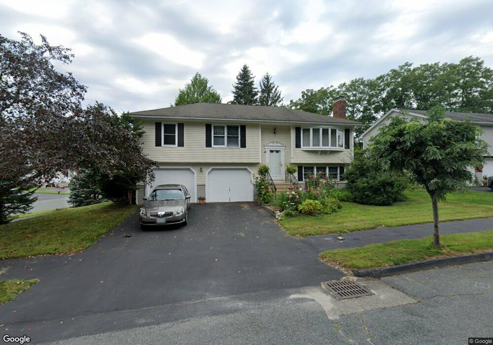
44 Bonnybrook Rd Worcester, MA 01606
Indian Hill NeighborhoodEstimated Value: $472,986 - $533,000
3
Beds
2
Baths
1,190
Sq Ft
$422/Sq Ft
Est. Value
About This Home
This home is located at 44 Bonnybrook Rd, Worcester, MA 01606 and is currently estimated at $501,747, approximately $421 per square foot. 44 Bonnybrook Rd is a home located in Worcester County with nearby schools including Nelson Place Elementary School, Jacob Hiatt Magnet School, and Chandler Magnet.
Ownership History
Date
Name
Owned For
Owner Type
Purchase Details
Closed on
Apr 30, 1999
Sold by
Tesone Jon G and Tesone Kathleen D
Bought by
Danko Vojtech and Dankova Dagmar
Current Estimated Value
Purchase Details
Closed on
Jul 31, 1990
Sold by
Lopes Matthew J
Bought by
Tesone Jon G
Purchase Details
Closed on
Oct 7, 1987
Sold by
Ron Peris Bldr
Bought by
Lopes Matthew J
Create a Home Valuation Report for This Property
The Home Valuation Report is an in-depth analysis detailing your home's value as well as a comparison with similar homes in the area
Home Values in the Area
Average Home Value in this Area
Purchase History
| Date | Buyer | Sale Price | Title Company |
|---|---|---|---|
| Danko Vojtech | $165,000 | -- | |
| Tesone Jon G | $169,900 | -- | |
| Lopes Matthew J | $159,900 | -- |
Source: Public Records
Mortgage History
| Date | Status | Borrower | Loan Amount |
|---|---|---|---|
| Open | Lopes Matthew J | $136,000 | |
| Closed | Lopes Matthew J | $129,000 | |
| Closed | Lopes Matthew J | $160,000 |
Source: Public Records
Tax History
| Year | Tax Paid | Tax Assessment Tax Assessment Total Assessment is a certain percentage of the fair market value that is determined by local assessors to be the total taxable value of land and additions on the property. | Land | Improvement |
|---|---|---|---|---|
| 2025 | $5,752 | $436,100 | $118,300 | $317,800 |
| 2024 | $5,600 | $407,300 | $118,300 | $289,000 |
| 2023 | $5,466 | $381,200 | $102,800 | $278,400 |
| 2022 | $4,791 | $315,000 | $82,300 | $232,700 |
| 2021 | $4,711 | $289,400 | $65,800 | $223,600 |
| 2020 | $4,502 | $264,800 | $65,800 | $199,000 |
| 2019 | $4,396 | $244,200 | $59,200 | $185,000 |
| 2018 | $4,417 | $233,600 | $59,200 | $174,400 |
| 2017 | $4,234 | $220,300 | $59,200 | $161,100 |
| 2016 | $4,186 | $203,100 | $43,300 | $159,800 |
| 2015 | $4,076 | $203,100 | $43,300 | $159,800 |
| 2014 | $3,969 | $203,100 | $43,300 | $159,800 |
Source: Public Records
Map
Nearby Homes
- 42 Bonnybrook Rd
- 69 Brookhaven Rd
- 72 Brookhaven Rd
- 40 Bonnybrook Rd
- 70 Brookhaven Rd
- 74 Brookhaven Rd
- 63 Brookhaven Rd
- 41 Bonnybrook Rd
- 76 Brookhaven Rd
- 68 Brookhaven Rd
- 38 Bonnybrook Rd
- 61 Brookhaven Rd
- 39 Bonnybrook Rd
- 66 Brookhaven Rd
- 59 Brookhaven Rd
- 78 Darnell Rd
- 36 Bonnybrook Rd
- 64 Brookhaven Rd
- 37 Bonnybrook Rd
- 62 Brookhaven Rd
Your Personal Tour Guide
Ask me questions while you tour the home.