44 Long Sands Rd Center Ossipee, NH 03814
Estimated Value: $1,462,000 - $2,047,000
3
Beds
3
Baths
3,489
Sq Ft
$517/Sq Ft
Est. Value
About This Home
This home is located at 44 Long Sands Rd, Center Ossipee, NH 03814 and is currently estimated at $1,802,649, approximately $516 per square foot. 44 Long Sands Rd is a home located in Carroll County with nearby schools including Ossipee Central School, Kingswood Regional Middle School, and Kingswood Regional High School.
Ownership History
Date
Name
Owned For
Owner Type
Purchase Details
Closed on
Nov 10, 2005
Sold by
Gadbois Jane and Gadbois Richard
Bought by
Tandon Kishan N and Tandon Hannelore
Current Estimated Value
Home Financials for this Owner
Home Financials are based on the most recent Mortgage that was taken out on this home.
Original Mortgage
$550,000
Interest Rate
5.93%
Mortgage Type
Purchase Money Mortgage
Create a Home Valuation Report for This Property
The Home Valuation Report is an in-depth analysis detailing your home's value as well as a comparison with similar homes in the area
Home Values in the Area
Average Home Value in this Area
Purchase History
| Date | Buyer | Sale Price | Title Company |
|---|---|---|---|
| Tandon Kishan N | $717,500 | -- |
Source: Public Records
Mortgage History
| Date | Status | Borrower | Loan Amount |
|---|---|---|---|
| Open | Tandon Kishan N | $390,000 | |
| Closed | Tandon Kishan N | $417,000 | |
| Closed | Tandon Kishan N | $550,000 |
Source: Public Records
Tax History Compared to Growth
Tax History
| Year | Tax Paid | Tax Assessment Tax Assessment Total Assessment is a certain percentage of the fair market value that is determined by local assessors to be the total taxable value of land and additions on the property. | Land | Improvement |
|---|---|---|---|---|
| 2024 | $18,823 | $1,622,700 | $1,176,000 | $446,700 |
| 2023 | $18,826 | $1,815,400 | $1,301,000 | $514,400 |
| 2022 | $14,307 | $778,400 | $476,800 | $301,600 |
| 2021 | $14,268 | $778,400 | $476,800 | $301,600 |
| 2020 | $13,272 | $778,400 | $476,800 | $301,600 |
| 2019 | $13,337 | $779,500 | $476,800 | $302,700 |
| 2018 | $14,670 | $705,300 | $419,000 | $286,300 |
| 2016 | $13,612 | $705,300 | $419,000 | $286,300 |
| 2015 | $12,928 | $705,300 | $419,000 | $286,300 |
| 2014 | $12,506 | $694,000 | $406,200 | $287,800 |
| 2013 | $12,069 | $694,000 | $406,200 | $287,800 |
Source: Public Records
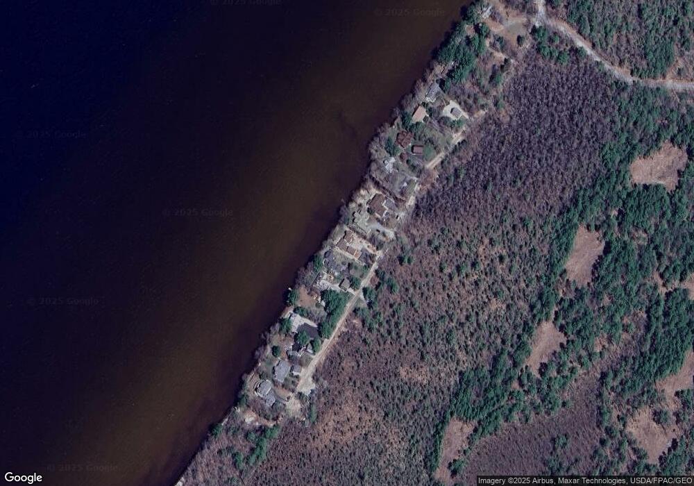
Map
Nearby Homes
- 46 Long Sands Rd
- 42 Long Sands Rd
- 48 Long Sands Rd
- 40 Long Sands Rd
- 39 Long Sands Rd
- 50 Long Sands Rd
- 38 Long Sands Rd
- 38 Long Sands Rd
- 52 Long Sands Rd
- 36 Long Sands Rd
- 54 Long Sands Rd
- 34 Long Sands Rd
- 56 Long Sands Rd
- 58 Long Sands Rd
- 32 Long Sands Rd
- 60 Long Sands Rd
- 30 Long Sands Rd
- 28 Long Sands Rd
- 26 Long Sands Rd
- 24 Long Sands Rd