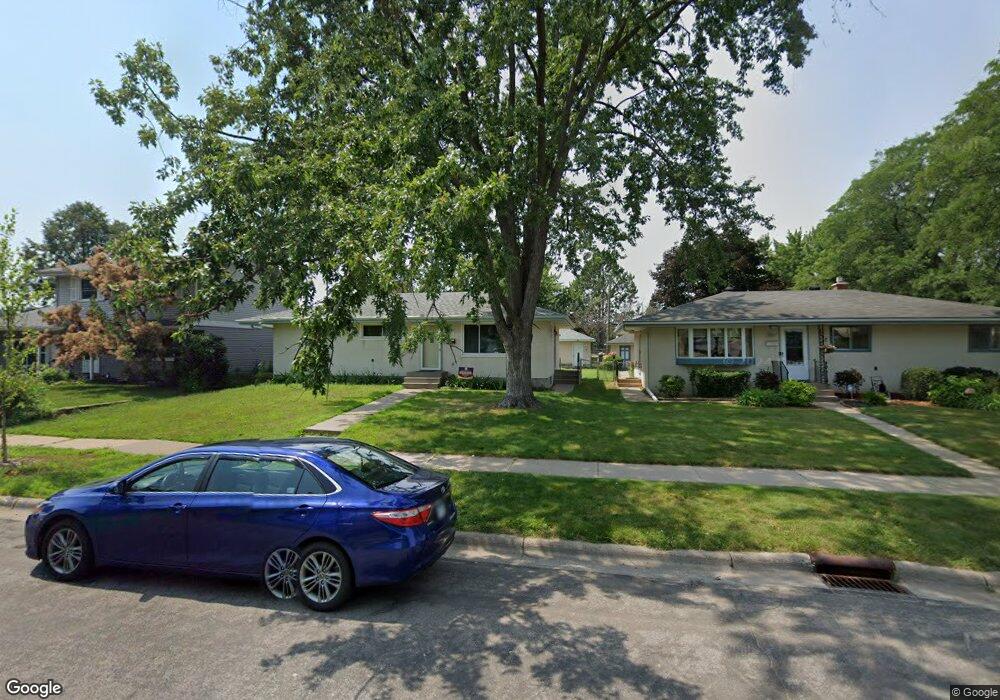
443 Birmingham St Saint Paul, MN 55106
Dayton's Bluff NeighborhoodEstimated Value: $291,000 - $315,000
3
Beds
2
Baths
208
Sq Ft
$1,447/Sq Ft
Est. Value
About This Home
This home is located at 443 Birmingham St, Saint Paul, MN 55106 and is currently estimated at $300,888, approximately $1,446 per square foot. 443 Birmingham St is a home located in Ramsey County with nearby schools including Battle Creek Elementary School, Battle Creek Middle School, and Harding Senior High School.
Ownership History
Date
Name
Owned For
Owner Type
Purchase Details
Closed on
May 27, 2020
Sold by
Cha Tou and Vang Soua
Bought by
Vaug Colin and Vaug Lue
Current Estimated Value
Home Financials for this Owner
Home Financials are based on the most recent Mortgage that was taken out on this home.
Original Mortgage
$227,050
Outstanding Balance
$201,262
Interest Rate
3.2%
Mortgage Type
New Conventional
Estimated Equity
$99,626
Purchase Details
Closed on
Feb 28, 2007
Sold by
Peltier Robert A and Peltier Marilyn G
Bought by
Quinn Margaret A
Create a Home Valuation Report for This Property
The Home Valuation Report is an in-depth analysis detailing your home's value as well as a comparison with similar homes in the area
Home Values in the Area
Average Home Value in this Area
Purchase History
| Date | Buyer | Sale Price | Title Company |
|---|---|---|---|
| Vaug Colin | $239,000 | Arden Title Llc | |
| Quinn Margaret A | $44,526 | -- |
Source: Public Records
Mortgage History
| Date | Status | Borrower | Loan Amount |
|---|---|---|---|
| Open | Vaug Colin | $227,050 |
Source: Public Records
Tax History Compared to Growth
Tax History
| Year | Tax Paid | Tax Assessment Tax Assessment Total Assessment is a certain percentage of the fair market value that is determined by local assessors to be the total taxable value of land and additions on the property. | Land | Improvement |
|---|---|---|---|---|
| 2025 | $3,902 | $274,200 | $51,800 | $222,400 |
| 2023 | $3,902 | $260,500 | $32,200 | $228,300 |
| 2022 | $3,408 | $262,100 | $32,200 | $229,900 |
| 2021 | $2,792 | $222,900 | $32,200 | $190,700 |
| 2020 | $2,874 | $192,900 | $32,200 | $160,700 |
| 2019 | $2,414 | $176,100 | $32,200 | $143,900 |
| 2018 | $2,466 | $158,200 | $32,200 | $126,000 |
| 2017 | $2,066 | $158,100 | $32,200 | $125,900 |
| 2016 | $1,990 | $0 | $0 | $0 |
| 2015 | $2,220 | $133,900 | $32,200 | $101,700 |
| 2014 | $1,488 | $0 | $0 | $0 |
Source: Public Records
Map
Nearby Homes
- 1450 Fremont Ave
- 1538 Wilson Ave
- 1351 3rd St E
- 1443 Pacific St
- 1320 Wilson Ave
- 1333 Pacific St
- 1303 Fremont Ave
- 1269 Wilson Ave
- 1257 Wilson Ave
- 1600 Old Hudson Rd
- 1489 6th St E
- 244 Point Douglas Rd N
- 267 Hazelwood St
- 1493 Margaret St
- 401 Johnson Pkwy
- 271 English St
- 1356 Beech St
- 1551 Margaret St
- 201 Dora Ct W
- 1237 5th St E
- 443 443 Birmingham-Street-
- 437 437 Birmingham-Street-
- 449 Birmingham St
- 437 Birmingham St
- 431 Birmingham St
- 1444 Wilson Ave
- 459 Birmingham St
- 425 Birmingham St
- 1450 Wilson Ave
- 465 Birmingham St
- 1445 Old Hudson Rd
- 1445 Wilson Ave
- 438 Etna St
- 450 Etna St
- 452 Etna St Unit 102
- 452 Etna St Unit 202
- 452 Etna St Unit 105
- 452 Etna St Unit 203
- 452 Etna St Unit 106
- 452 Etna St Unit 204