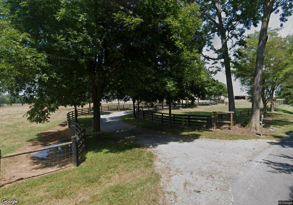
Estimated Value: $894,000 - $1,450,800
3
Beds
3
Baths
2,150
Sq Ft
$570/Sq Ft
Est. Value
About This Home
This home is located at 452 Browntown Rd, Boyce, VA 22620 and is currently estimated at $1,225,933, approximately $570 per square foot. 452 Browntown Rd is a home located in Clarke County with nearby schools including Clarke County High School and Powhatan School.
Ownership History
Date
Name
Owned For
Owner Type
Purchase Details
Closed on
Nov 9, 2009
Sold by
Flagg Michael E
Bought by
Stotler Samuel S
Current Estimated Value
Home Financials for this Owner
Home Financials are based on the most recent Mortgage that was taken out on this home.
Original Mortgage
$400,000
Outstanding Balance
$264,503
Interest Rate
5.25%
Mortgage Type
New Conventional
Estimated Equity
$961,430
Purchase Details
Closed on
Jun 8, 2009
Sold by
Stevens Sharon E
Bought by
Flagg Michael E
Create a Home Valuation Report for This Property
The Home Valuation Report is an in-depth analysis detailing your home's value as well as a comparison with similar homes in the area
Home Values in the Area
Average Home Value in this Area
Purchase History
| Date | Buyer | Sale Price | Title Company |
|---|---|---|---|
| Stotler Samuel S | $680,000 | -- | |
| Flagg Michael E | $680,000 | -- |
Source: Public Records
Mortgage History
| Date | Status | Borrower | Loan Amount |
|---|---|---|---|
| Open | Stotler Samuel S | $400,000 |
Source: Public Records
Tax History Compared to Growth
Tax History
| Year | Tax Paid | Tax Assessment Tax Assessment Total Assessment is a certain percentage of the fair market value that is determined by local assessors to be the total taxable value of land and additions on the property. | Land | Improvement |
|---|---|---|---|---|
| 2025 | $3,779 | $1,297,400 | $621,200 | $676,200 |
| 2024 | $3,288 | $809,100 | $393,700 | $415,400 |
| 2023 | $3,288 | $809,100 | $393,700 | $415,400 |
| 2022 | $3,343 | $809,100 | $393,700 | $415,400 |
| 2021 | $4,936 | $809,100 | $393,700 | $415,400 |
| 2020 | $3,058 | $809,100 | $393,700 | $415,400 |
| 2019 | $3,058 | $691,800 | $367,700 | $324,100 |
| 2018 | $3,058 | $691,800 | $367,700 | $324,100 |
| 2017 | $3,058 | $691,800 | $367,700 | $324,100 |
| 2016 | -- | $691,800 | $367,700 | $324,100 |
| 2015 | -- | $804,900 | $472,000 | $332,900 |
| 2014 | -- | $804,900 | $472,000 | $332,900 |
Source: Public Records
Map
Nearby Homes
- 201 N Greenway Ave
- 2 Whiting Ave
- 154 Clay Hill Rd
- 8 Whiting Ave
- 103 W Main St
- 103 W Main St Unit 101,103
- 320 Hopkins Dr
- 112 Meadowview Dr
- 1690 Millwood Rd
- Lot 6 Old Waterloo Rd
- 135 Old Waterloo Rd
- 0 Millwood Rd W Unit VACL2003194
- 961 Summerville Rd
- 1600 Briggs Rd
- 3637 Millwood Rd
- 6866 Lord Fairfax Hwy
- 367 Kennel Rd
- 620 Tilthammer Mill Rd
- 64 Salem Church Rd
- 1077 Ginns Rd
- 632 Browntown Rd
- 674 Browntown Rd
- 702 Browntown Rd
- 1141 Old Chapel Rd
- 110 Browntown Rd
- 704 Browntown Rd
- 614 Browntown Rd
- 131 Browntown Rd
- 1109 Old Chapel Rd
- 1369 Old Chapel Rd
- 784 Browntown Rd
- 1059 Old Chapel Rd
- 1371 Old Chapel Rd
- 814 Browntown Rd
- 973 Old Chapel Ave
- 1373 Old Chapel Rd
- 100 Sunset Ln
- 0 Rt 620 Unit CL3005036
- 94 Sunset Ln
- 871 Old Chapel Rd
