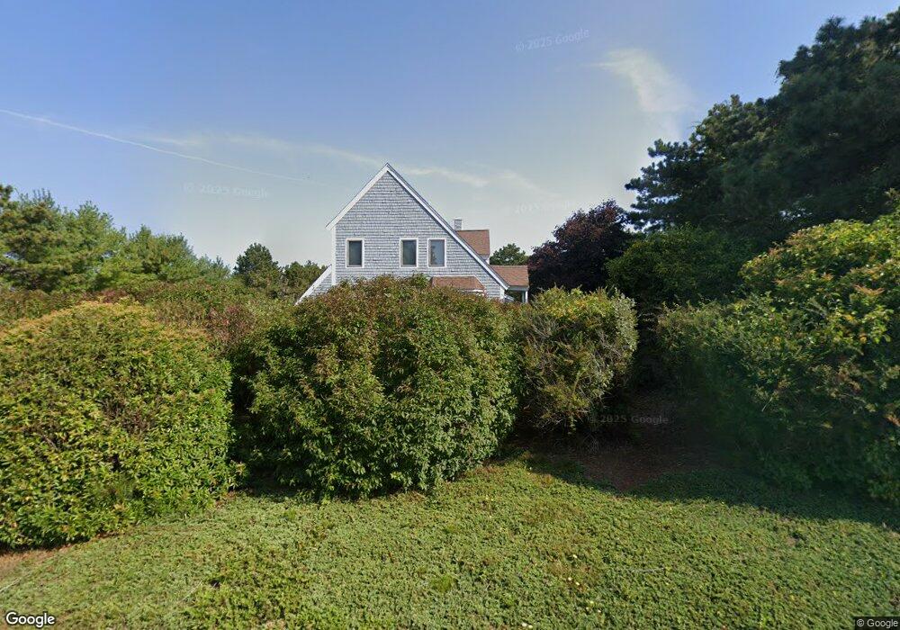
46 Polaris Dr Mashpee, MA 02649
Estimated Value: $872,832 - $994,000
3
Beds
4
Baths
2,537
Sq Ft
$367/Sq Ft
Est. Value
About This Home
This home is located at 46 Polaris Dr, Mashpee, MA 02649 and is currently estimated at $930,958, approximately $366 per square foot. 46 Polaris Dr is a home located in Barnstable County with nearby schools including Kenneth C. Coombs School, Quashnet School, and Mashpee Middle School.
Ownership History
Date
Name
Owned For
Owner Type
Purchase Details
Closed on
Oct 9, 2009
Sold by
Scalli James F and Scalli Mary M
Bought by
Lakatos Robert E and Lakatos Heather L
Current Estimated Value
Purchase Details
Closed on
Mar 3, 1998
Sold by
Rosenberg Susan M
Bought by
Scalli James F and Scalli Mary M
Purchase Details
Closed on
May 13, 1996
Sold by
Dion John A
Bought by
Rosenberg Susan M
Create a Home Valuation Report for This Property
The Home Valuation Report is an in-depth analysis detailing your home's value as well as a comparison with similar homes in the area
Home Values in the Area
Average Home Value in this Area
Purchase History
| Date | Buyer | Sale Price | Title Company |
|---|---|---|---|
| Lakatos Robert E | $400,000 | -- | |
| Scalli James F | $230,000 | -- | |
| Rosenberg Susan M | $186,500 | -- |
Source: Public Records
Mortgage History
| Date | Status | Borrower | Loan Amount |
|---|---|---|---|
| Open | Rosenberg Susan M | $225,000 | |
| Open | Rosenberg Susan M | $345,000 |
Source: Public Records
Tax History Compared to Growth
Tax History
| Year | Tax Paid | Tax Assessment Tax Assessment Total Assessment is a certain percentage of the fair market value that is determined by local assessors to be the total taxable value of land and additions on the property. | Land | Improvement |
|---|---|---|---|---|
| 2025 | $5,069 | $765,700 | $234,400 | $531,300 |
| 2024 | $4,786 | $744,400 | $230,900 | $513,500 |
| 2023 | $4,463 | $636,600 | $219,900 | $416,700 |
| 2022 | $4,363 | $534,000 | $192,500 | $341,500 |
| 2021 | $4,671 | $479,000 | $179,600 | $299,400 |
| 2020 | $4,191 | $461,100 | $172,700 | $288,400 |
| 2019 | $4,160 | $440,500 | $172,700 | $267,800 |
| 2018 | $3,888 | $435,900 | $172,700 | $263,200 |
| 2017 | $3,694 | $408,700 | $172,700 | $236,000 |
| 2016 | $3,626 | $392,400 | $172,700 | $219,700 |
| 2015 | $3,493 | $383,400 | $172,700 | $210,700 |
| 2014 | $3,548 | $377,800 | $170,000 | $207,800 |
Source: Public Records
Map
Nearby Homes
- 7 Sandy Way
- 20 Sandy Way
- 10 Shadbush Cir
- 8 Shadbush Cir
- 29 Carl Landi Cir
- 109 Great Pines Dr
- 1 Beech Plum Dr
- 61 Wintergreen Rd
- 89 Degrass Rd
- 84 Overlook Cir
- 240 Surf Dr
- 41 Great Pines Dr
- 17 Degrass Rd
- 247 Great Pines Dr
- 55 Blue Castle Dr
- T 131 Shellback Way Unit 131
- 108 Shellback Way Unit 108Q
- 108 Shellback Way Unit Q
- 38 Shellback Way Unit 38
- 40 Shellback Way Unit F