46 Snows Point Edgartown, MA 02539
Edgartown NeighborhoodEstimated Value: $4,791,000 - $6,324,598
4
Beds
2
Baths
3,106
Sq Ft
$1,762/Sq Ft
Est. Value
About This Home
This home is located at 46 Snows Point, Edgartown, MA 02539 and is currently estimated at $5,472,400, approximately $1,761 per square foot. 46 Snows Point is a home located in Dukes County with nearby schools including Edgartown Elementary School and Martha's Vineyard Regional High School.
Ownership History
Date
Name
Owned For
Owner Type
Purchase Details
Closed on
Apr 15, 2022
Sold by
Long Robert D and Long Susan B
Bought by
Robert D Long 2010 T D and Robert Long
Current Estimated Value
Home Financials for this Owner
Home Financials are based on the most recent Mortgage that was taken out on this home.
Original Mortgage
$4,036,000
Outstanding Balance
$3,684,367
Interest Rate
2.25%
Mortgage Type
Adjustable Rate Mortgage/ARM
Estimated Equity
$1,788,033
Purchase Details
Closed on
Nov 12, 2004
Sold by
Woodhull Marian M
Bought by
Long Robert D and Long Susan B
Home Financials for this Owner
Home Financials are based on the most recent Mortgage that was taken out on this home.
Original Mortgage
$775,000
Interest Rate
5.75%
Mortgage Type
Purchase Money Mortgage
Create a Home Valuation Report for This Property
The Home Valuation Report is an in-depth analysis detailing your home's value as well as a comparison with similar homes in the area
Home Values in the Area
Average Home Value in this Area
Purchase History
| Date | Buyer | Sale Price | Title Company |
|---|---|---|---|
| Robert D Long 2010 T D | -- | None Available | |
| Robert D Long 2010 T D | -- | None Available | |
| Long Robert D | $2,450,000 | -- | |
| Long Robert D | $2,450,000 | -- |
Source: Public Records
Mortgage History
| Date | Status | Borrower | Loan Amount |
|---|---|---|---|
| Open | Robert D Long 2010 T D | $4,036,000 | |
| Closed | Robert D Long 2010 T D | $4,036,000 | |
| Previous Owner | Long Robert D | $2,000,000 | |
| Previous Owner | Long Robert D | $1,550,000 | |
| Previous Owner | Long Robert D | $775,000 |
Source: Public Records
Tax History Compared to Growth
Tax History
| Year | Tax Paid | Tax Assessment Tax Assessment Total Assessment is a certain percentage of the fair market value that is determined by local assessors to be the total taxable value of land and additions on the property. | Land | Improvement |
|---|---|---|---|---|
| 2025 | $16,596 | $6,262,500 | $2,764,700 | $3,497,800 |
| 2024 | $15,267 | $5,987,100 | $2,697,200 | $3,289,900 |
| 2023 | $14,538 | $5,769,000 | $2,562,400 | $3,206,600 |
| 2022 | $13,595 | $4,486,750 | $2,292,650 | $2,194,100 |
| 2021 | $13,621 | $4,152,603 | $1,753,203 | $2,399,400 |
| 2020 | $14,783 | $4,412,726 | $2,022,926 | $2,389,800 |
| 2019 | $15,686 | $4,053,300 | $1,888,100 | $2,165,200 |
| 2018 | $14,218 | $4,015,100 | $1,955,500 | $2,059,600 |
| 2017 | $13,861 | $3,904,600 | $1,955,500 | $1,949,100 |
| 2016 | $14,051 | $3,881,600 | $1,955,500 | $1,926,100 |
| 2015 | $13,246 | $3,817,200 | $1,955,500 | $1,861,700 |
Source: Public Records
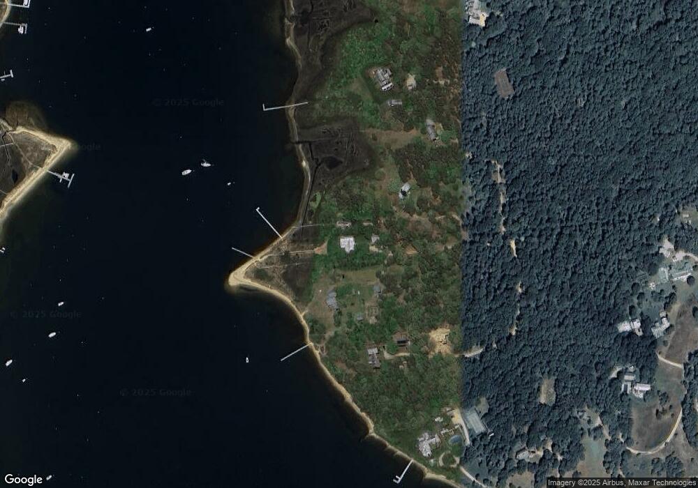
Map
Nearby Homes
- 25 Lelands Path
- 7 Martha's Way
- 3 Somerset Ln
- 4 Somerset Ln
- 1 Field Club Dr
- 19 Katama Dr
- 72 Chappaquiddick Ave
- 2 Farmers Rd
- 24 Katama Bay View Rd
- 42 Deacon Vincent Way
- 8 High St
- 8 Old Dunhams Corner Way
- 23 Thaxter Ln
- 25 Dock St
- 19 Kitts Field Cir
- 12 Duarte Cir
- 69 School St
- 42 Road To the Plains
- 52 S Summer St
- 42 Snow's Point
- 42 Snows Point
- 37 Snows Point
- 32 Snows Point
- 35 Snows Point
- 30 Snows Point
- 66 Litchfield Rd
- 60 Green Pastures Rd
- 54 Litchfield Rd
- 56 Green Pastures Rd
- 52 Green Pastures Rd
- 32 Green Pastures Rd
- 36 Green Pastures Rd
- 28 Green Pastures Rd
- 24 Green Pastures Rd
- 31 Green Pastures Rd
- 36 Down Harbor Rd
- 34 Down Harbor Rd
- 14 Guernsey Ln
- 16 Guernsey Ln