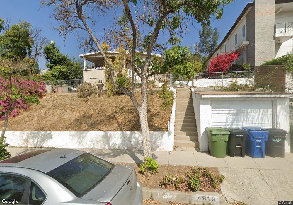
4919 Range View Ave Los Angeles, CA 90042
Eagle Rock NeighborhoodEstimated Value: $1,141,000 - $1,225,140
3
Beds
1
Bath
952
Sq Ft
$1,252/Sq Ft
Est. Value
About This Home
This home is located at 4919 Range View Ave, Los Angeles, CA 90042 and is currently estimated at $1,192,035, approximately $1,252 per square foot. 4919 Range View Ave is a home located in Los Angeles County with nearby schools including Buchanan Street Elementary and Franklin Middle School & High School.
Ownership History
Date
Name
Owned For
Owner Type
Purchase Details
Closed on
Jul 23, 1994
Sold by
Delatorre Joseph G and Delatorre Carol
Bought by
Guerrero William K
Current Estimated Value
Home Financials for this Owner
Home Financials are based on the most recent Mortgage that was taken out on this home.
Original Mortgage
$138,700
Interest Rate
5.12%
Create a Home Valuation Report for This Property
The Home Valuation Report is an in-depth analysis detailing your home's value as well as a comparison with similar homes in the area
Home Values in the Area
Average Home Value in this Area
Purchase History
| Date | Buyer | Sale Price | Title Company |
|---|---|---|---|
| Guerrero William K | $96,909 | Stewart Title |
Source: Public Records
Mortgage History
| Date | Status | Borrower | Loan Amount |
|---|---|---|---|
| Closed | Guerrero William K | $138,700 |
Source: Public Records
Tax History
| Year | Tax Paid | Tax Assessment Tax Assessment Total Assessment is a certain percentage of the fair market value that is determined by local assessors to be the total taxable value of land and additions on the property. | Land | Improvement |
|---|---|---|---|---|
| 2025 | $12,522 | $1,040,400 | $728,280 | $312,120 |
| 2024 | $12,522 | $1,020,000 | $714,000 | $306,000 |
| 2023 | $3,111 | $235,681 | $188,555 | $47,126 |
| 2022 | $2,972 | $231,060 | $184,858 | $46,202 |
| 2021 | $2,934 | $226,531 | $181,234 | $45,297 |
| 2019 | $2,769 | $219,813 | $175,859 | $43,954 |
| 2018 | $2,694 | $215,504 | $172,411 | $43,093 |
| 2016 | $2,568 | $207,138 | $165,717 | $41,421 |
| 2015 | $2,531 | $204,027 | $163,228 | $40,799 |
| 2014 | $2,550 | $200,031 | $160,031 | $40,000 |
Source: Public Records
Map
Nearby Homes
- 5007 Almaden Dr
- 4920 Stratford Rd
- 4816 Stratford Rd
- 5132 Range View Ave
- 5001 Buchanan St
- 1411 Armadale Ave
- 5240 Barker Dr
- 1932 Phillips Way
- 5144 Buchanan St
- 1942 Phillips Way
- 1048 Dexter St
- 1938 Phillips Way
- 4666 York Blvd
- 1621 Campus Rd
- 4650 York Blvd
- 5055 Hub St
- 1817 N Avenue 55
- 5118 Hub St
- 5330 Lincoln Ave
- 917 N Avenue 51
- 4917 Range View Ave
- 4929 Range View Ave
- 4913 Range View Ave
- 4933 Range View Ave
- 4939 Range View Ave
- 4956 Coringa Dr
- 4952 Coringa Dr
- 4948 Coringa Dr
- 4943 Range View Ave
- 4922 Range View Ave
- 4926 Range View Ave
- 4918 Range View Ave
- 4930 Range View Ave
- 4914 Range View Ave
- 4914 4914 1/2 Range View Ave
- 4934 Range View Ave
- 4910 Range View Ave
- 1524 North Avenue 49
- 4949 Range View Ave
- 4938 Range View Ave
Your Personal Tour Guide
Ask me questions while you tour the home.