501 Kettletoft Ct Unit 3 Stockbridge, GA 30281
Estimated Value: $199,000 - $219,000
3
Beds
2
Baths
1,092
Sq Ft
$190/Sq Ft
Est. Value
About This Home
This home is located at 501 Kettletoft Ct Unit 3, Stockbridge, GA 30281 and is currently estimated at $207,656, approximately $190 per square foot. 501 Kettletoft Ct Unit 3 is a home located in Henry County with nearby schools including Stockbridge Elementary School, Smith-Barnes Elementary School, and Stockbridge Middle School.
Ownership History
Date
Name
Owned For
Owner Type
Purchase Details
Closed on
Dec 16, 1997
Sold by
The Knight Group Inc
Bought by
Sherrod Donald
Current Estimated Value
Home Financials for this Owner
Home Financials are based on the most recent Mortgage that was taken out on this home.
Original Mortgage
$69,376
Outstanding Balance
$11,706
Interest Rate
7.2%
Mortgage Type
New Conventional
Estimated Equity
$195,950
Create a Home Valuation Report for This Property
The Home Valuation Report is an in-depth analysis detailing your home's value as well as a comparison with similar homes in the area
Home Values in the Area
Average Home Value in this Area
Purchase History
| Date | Buyer | Sale Price | Title Company |
|---|---|---|---|
| Sherrod Donald | $68,900 | -- |
Source: Public Records
Mortgage History
| Date | Status | Borrower | Loan Amount |
|---|---|---|---|
| Open | Sherrod Donald | $69,376 |
Source: Public Records
Tax History Compared to Growth
Tax History
| Year | Tax Paid | Tax Assessment Tax Assessment Total Assessment is a certain percentage of the fair market value that is determined by local assessors to be the total taxable value of land and additions on the property. | Land | Improvement |
|---|---|---|---|---|
| 2025 | $2,692 | $82,920 | $14,000 | $68,920 |
| 2024 | $2,692 | $78,760 | $14,000 | $64,760 |
| 2023 | $1,997 | $74,760 | $14,000 | $60,760 |
| 2022 | $1,927 | $59,960 | $8,000 | $51,960 |
| 2021 | $1,569 | $44,800 | $8,000 | $36,800 |
| 2020 | $1,518 | $42,640 | $8,000 | $34,640 |
| 2019 | $1,365 | $39,360 | $8,000 | $31,360 |
| 2018 | $1,210 | $34,360 | $8,000 | $26,360 |
| 2016 | $907 | $26,440 | $6,000 | $20,440 |
| 2015 | $731 | $21,640 | $6,000 | $15,640 |
| 2014 | $552 | $17,080 | $3,200 | $13,880 |
Source: Public Records
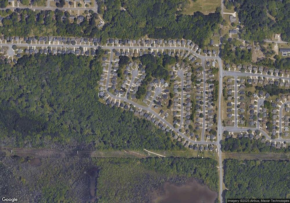
Map
Nearby Homes
- 843 Tramore Dr
- 614 Tramore Ct
- 136 Glynn Addy Dr
- 145 Glynn Addy Dr Unit 5
- 0 Tye St Unit 10634748
- 0 Tye St Unit 20124844
- 155 Tye St
- 200 Glynn Addy Dr Unit 5
- 32 Bay Cove Dr
- 44 Bay Cove Dr
- 184 Eagle Way
- 318 Eagle Ct
- 213 Baron Ct
- 118 Tye St
- 169 Misty Ridge Trail
- 235 Alexis Ave
- 513 McCain Creek Trail
- 500 McCain Creek Trail
- 9 Cheyenne Dr
- 4863 N Henry Blvd
- 503 Kettletoft Ct
- 503 Kettletoft Ct Unit 45
- 600 Tramore Ct
- 505 Kettletoft Ct Unit 3
- 835 Tramore Dr
- 602 Tramore Ct
- 839 Tramore Dr
- 507 Kettletoft Ct Unit 3
- 500 Kettletoft Ct
- 604 Tramore Ct
- 833 Tramore Dr Unit 3
- 502 Kettletoft Ct
- 841 Tramore Dr Unit 4
- 837 Tramore Dr
- 504 Kettletoft Ct
- 504 Kettletoft Ct Unit 3
- 606 Tramore Ct
- 831 Tramore Dr Unit 3
- 509 Kettletoft Ct
- 822 Tramore Dr Unit 4