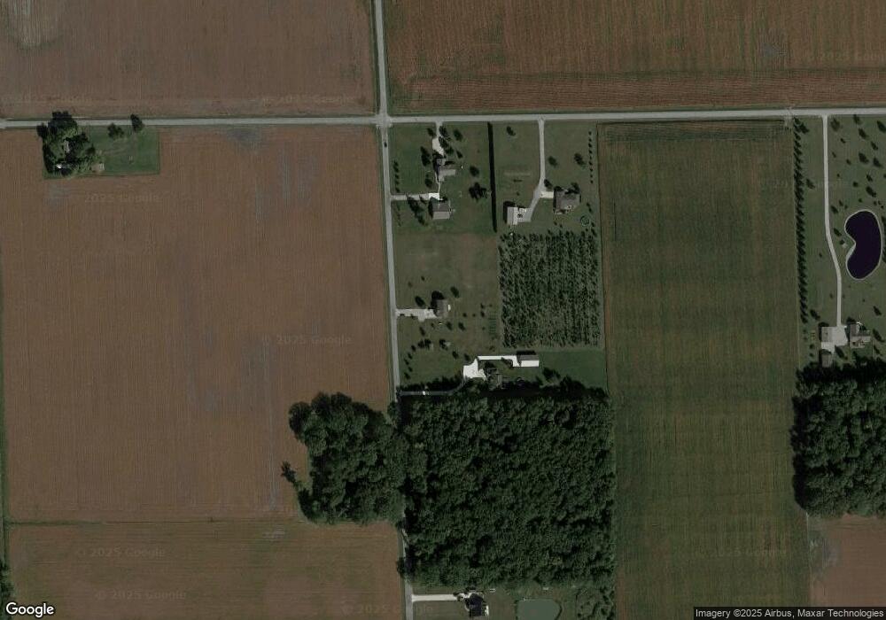
5031 Sampson Rd Monroeville, IN 46773
Estimated Value: $261,000 - $409,456
4
Beds
3
Baths
2,760
Sq Ft
$119/Sq Ft
Est. Value
About This Home
This home is located at 5031 Sampson Rd, Monroeville, IN 46773 and is currently estimated at $327,864, approximately $118 per square foot. 5031 Sampson Rd is a home located in Allen County with nearby schools including Heritage Junior/Senior High School.
Ownership History
Date
Name
Owned For
Owner Type
Purchase Details
Closed on
May 16, 2024
Sold by
Yagodinski Patrick J and Yagodinski Leann K
Bought by
Yagodinski Family Trust and Yagodinski
Current Estimated Value
Purchase Details
Closed on
May 14, 2024
Sold by
Yagodinski Patrick J and Yagodinski Leann K
Bought by
Yagodinski Family Trust and Yagodinski
Create a Home Valuation Report for This Property
The Home Valuation Report is an in-depth analysis detailing your home's value as well as a comparison with similar homes in the area
Purchase History
| Date | Buyer | Sale Price | Title Company |
|---|---|---|---|
| Yagodinski Family Trust | -- | None Listed On Document | |
| Yagodinski Family Trust | -- | None Listed On Document |
Source: Public Records
Tax History
| Year | Tax Paid | Tax Assessment Tax Assessment Total Assessment is a certain percentage of the fair market value that is determined by local assessors to be the total taxable value of land and additions on the property. | Land | Improvement |
|---|---|---|---|---|
| 2025 | $2,229 | $432,400 | $40,300 | $392,100 |
| 2024 | $1,921 | $301,200 | $40,300 | $260,900 |
| 2023 | $1,916 | $295,800 | $40,300 | $255,500 |
| 2022 | $1,938 | $284,700 | $40,300 | $244,400 |
| 2021 | $1,873 | $254,000 | $40,300 | $213,700 |
| 2020 | $1,883 | $254,600 | $40,300 | $214,300 |
| 2019 | $1,881 | $249,100 | $40,300 | $208,800 |
| 2018 | $1,917 | $243,400 | $40,300 | $203,100 |
| 2017 | $1,871 | $230,200 | $40,300 | $189,900 |
| 2016 | $1,842 | $227,200 | $40,300 | $186,900 |
| 2014 | $1,684 | $213,500 | $40,300 | $173,200 |
| 2013 | $1,743 | $214,100 | $41,900 | $172,200 |
Source: Public Records
Map
Nearby Homes
- 19900 Dawkins Rd
- 15010 Lincoln Hwy E
- 422 Monroe St
- 2424 N Berthaud Rd
- 3919 Beryl Place
- 22432 Peridot Run
- 12924 Edgerton Rd
- 22238 Travertine Run
- 4216 Hickory Ridge Dr
- 22724 Maumee Meadows Dr Unit 38
- 22727 Maumee Meadows Dr Unit 1
- 5111 Chickadee Dr Unit 15
- 5123 Chickadee Dr Unit 14
- 5099 Chickadee Dr Unit 16
- 4971 Chickadee Dr
- 5070 Chickadee Dr
- 5186 Meadowlark Ln Unit 5
- 22662 Maumee Meadows Dr Unit 37
- 4962 Chickadee Dr Unit 32
- 4950 Chickadee Dr Unit 31
- 5215 Sampson Rd
- 19820 Gromeaux Rd
- 19936 Gromeaux Rd
- 5419 Sampson Rd
- 19430 Gromeaux Rd
- 20216 Gromeaux Rd
- 4617 Sampson Rd
- 19819 Paulding Rd
- 19919 Paulding Rd
- 19301 Gromeaux Rd
- 19302 Gromeaux Rd
- 19210 Gromeaux Rd
- 5330 Vanderly Rd
- 4929 Vanderly Rd
- 5307 Vanderly Rd
- 4909 Vanderly Rd
- 4829 Vanderly Rd
- 20419 Paulding Rd
- 20418 Paulding Rd
- 20000 Howe Rd
