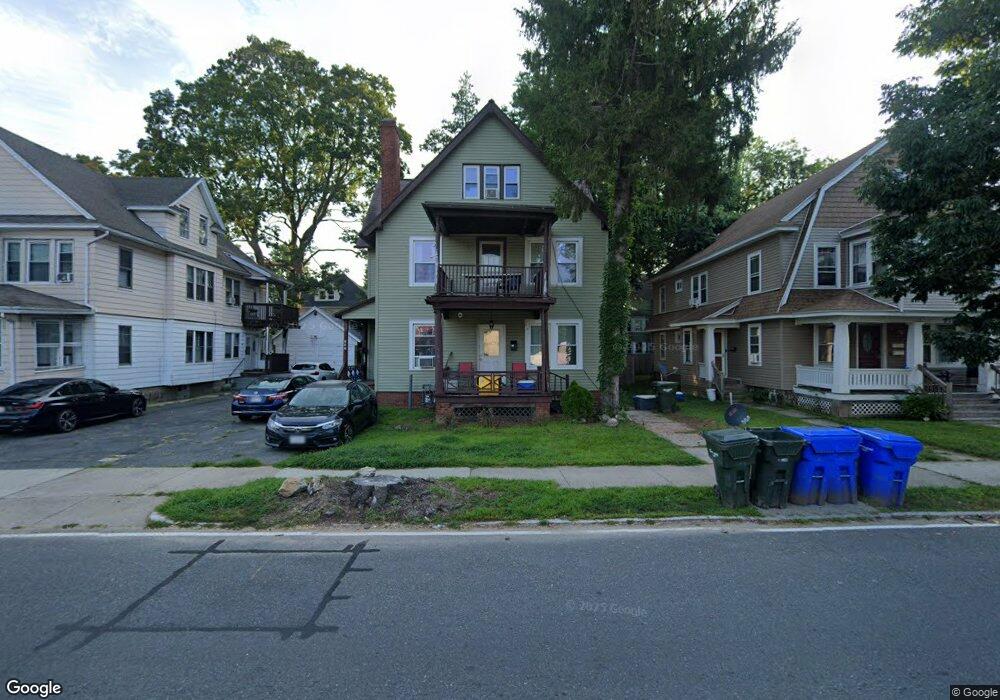
507 White St Unit 509 Springfield, MA 01108
Forest Park NeighborhoodEstimated Value: $344,686 - $446,000
7
Beds
3
Baths
3,721
Sq Ft
$108/Sq Ft
Est. Value
About This Home
This home is located at 507 White St Unit 509, Springfield, MA 01108 and is currently estimated at $401,922, approximately $108 per square foot. 507 White St Unit 509 is a home located in Hampden County with nearby schools including Washington Elementary School, M Marcus Kiley Middle, and High School Of Commerce.
Ownership History
Date
Name
Owned For
Owner Type
Purchase Details
Closed on
Apr 20, 2021
Sold by
Austin Dorothy J
Bought by
Austin Dorothy J and Austin Najee
Current Estimated Value
Purchase Details
Closed on
Nov 15, 1996
Sold by
Moser Faith C
Bought by
Tusinski Monique
Home Financials for this Owner
Home Financials are based on the most recent Mortgage that was taken out on this home.
Original Mortgage
$84,550
Interest Rate
7.99%
Mortgage Type
Purchase Money Mortgage
Create a Home Valuation Report for This Property
The Home Valuation Report is an in-depth analysis detailing your home's value as well as a comparison with similar homes in the area
Home Values in the Area
Average Home Value in this Area
Purchase History
| Date | Buyer | Sale Price | Title Company |
|---|---|---|---|
| Austin Dorothy J | -- | None Available | |
| Tusinski Monique | $89,000 | -- |
Source: Public Records
Mortgage History
| Date | Status | Borrower | Loan Amount |
|---|---|---|---|
| Previous Owner | Tusinski Monique | $20,000 | |
| Previous Owner | Tusinski Monique | $77,000 | |
| Previous Owner | Tusinski Monique | $84,550 | |
| Previous Owner | Tusinski Monique | $50,000 |
Source: Public Records
Tax History
| Year | Tax Paid | Tax Assessment Tax Assessment Total Assessment is a certain percentage of the fair market value that is determined by local assessors to be the total taxable value of land and additions on the property. | Land | Improvement |
|---|---|---|---|---|
| 2025 | $4,564 | $291,100 | $37,200 | $253,900 |
| 2024 | $4,375 | $272,400 | $37,200 | $235,200 |
| 2023 | $4,423 | $259,400 | $35,500 | $223,900 |
| 2022 | $3,963 | $210,600 | $35,500 | $175,100 |
| 2021 | $3,430 | $181,500 | $32,200 | $149,300 |
| 2020 | $3,420 | $175,100 | $32,200 | $142,900 |
| 2019 | $3,346 | $170,000 | $32,200 | $137,800 |
| 2018 | $3,184 | $161,800 | $32,200 | $129,600 |
| 2017 | $3,244 | $165,000 | $32,200 | $132,800 |
| 2016 | $2,841 | $144,500 | $32,200 | $112,300 |
| 2015 | $2,775 | $141,100 | $32,200 | $108,900 |
Source: Public Records
Map
Nearby Homes
- 854-856 Sumner Ave
- 46 Eckington St
- 70-72 E Alvord St
- 59 Daviston St
- 52 Orlando St
- 144 Washington St
- 88 Brunswick St
- 77 Dorset St
- 914-916 Belmont Ave
- 27 Ormond St
- 35 Carlton St
- 410 Allen St
- 34 Castle St
- 49-51 Mansfield St
- 161 Dorset St
- 22 Eleanor Rd
- 134-136 Woodlawn St
- 11 Crown St
- 55 Mandalay Rd
- 33-35 Ruskin St
- 511 White St Unit 513
- 501 White St Unit 503
- 501-503 White St
- 42 Irvington St
- 517 White St Unit 519
- 497 White St Unit 499
- 46 Irvington St
- 36 Irvington St
- 52 Irvington St
- 506 White St
- 491 White St Unit 493
- 523 White St
- 30 Irvington St
- 30 Irington
- 516 White St
- 56 Irvington St
- 520 White St
- 26 Irvington St
- 494 White St Unit 496
- 485 White St Unit 487
Your Personal Tour Guide
Ask me questions while you tour the home.