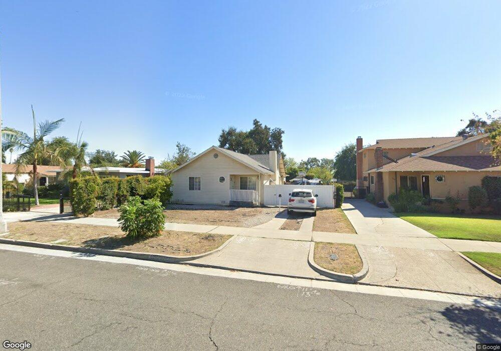
520 W Howard St Pasadena, CA 91103
Muir Heights NeighborhoodEstimated Value: $967,000 - $1,438,000
2
Beds
3
Baths
1,494
Sq Ft
$745/Sq Ft
Est. Value
About This Home
This home is located at 520 W Howard St, Pasadena, CA 91103 and is currently estimated at $1,112,869, approximately $744 per square foot. 520 W Howard St is a home located in Los Angeles County with nearby schools including Octavia E. Butler Magnet, John Muir High School, and Pasadena Christian School.
Ownership History
Date
Name
Owned For
Owner Type
Purchase Details
Closed on
Jan 11, 1995
Sold by
First Alliance Mtg Company
Bought by
Rucker Monique
Current Estimated Value
Home Financials for this Owner
Home Financials are based on the most recent Mortgage that was taken out on this home.
Original Mortgage
$107,350
Interest Rate
9.03%
Purchase Details
Closed on
Oct 28, 1994
Sold by
Cantrell James C and First Alliance Mtg Company
Bought by
First Alliance Mtg Company
Create a Home Valuation Report for This Property
The Home Valuation Report is an in-depth analysis detailing your home's value as well as a comparison with similar homes in the area
Home Values in the Area
Average Home Value in this Area
Purchase History
| Date | Buyer | Sale Price | Title Company |
|---|---|---|---|
| Rucker Monique | $113,000 | World Title Company | |
| First Alliance Mtg Company | $87,087 | -- |
Source: Public Records
Mortgage History
| Date | Status | Borrower | Loan Amount |
|---|---|---|---|
| Previous Owner | Rucker Monique | $107,350 |
Source: Public Records
Tax History
| Year | Tax Paid | Tax Assessment Tax Assessment Total Assessment is a certain percentage of the fair market value that is determined by local assessors to be the total taxable value of land and additions on the property. | Land | Improvement |
|---|---|---|---|---|
| 2025 | $3,414 | $271,839 | $151,829 | $120,010 |
| 2024 | $3,414 | $266,509 | $148,852 | $117,657 |
| 2023 | $3,382 | $261,284 | $145,934 | $115,350 |
| 2022 | $3,272 | $256,162 | $143,073 | $113,089 |
| 2021 | $3,140 | $251,140 | $140,268 | $110,872 |
| 2019 | $3,031 | $243,693 | $136,108 | $107,585 |
| 2018 | $2,970 | $238,916 | $133,440 | $105,476 |
| 2016 | $2,850 | $229,640 | $128,259 | $101,381 |
| 2015 | $2,817 | $226,192 | $126,333 | $99,859 |
| 2014 | $2,770 | $221,762 | $123,859 | $97,903 |
Source: Public Records
Map
Nearby Homes
- 514 W Washington Blvd
- 1329 Solita Rd
- 343 W Howard St
- 1758 Lincoln Ave
- 544 Pepper St
- 303 W Howard St
- 272 Del Monte St
- 280 Macdonald St
- 1835 Belmont Ave
- 1382 Glen Ave
- 1380 Glen Ave
- 1843 Kenneth Way
- 1657 Navarro Ave
- 1465 Navarro Ave
- 463 Toolen Place
- 119 W Washington Blvd
- 1191 Sunset Ave
- 100 W Tremont St
- 1709 N Fair Oaks Ave Unit 118
- 70 W Claremont St
- 512 W Howard St
- 530 W Howard St
- 508 W Howard St
- 540 W Howard St
- 515 Del Monte St
- 498 W Howard St
- 550 W Howard St
- 525 Del Monte St
- 537 Del Monte St
- 490 W Howard St
- 1554 Forest Ave
- 545 Del Monte St
- 507 Del Monte St
- 560 W Howard St
- 480 W Howard St
- 1544 Forest Ave
- 555 Del Monte St
- 497 Del Monte St
- 1534 Forest Ave
- 1623 Bancroft Way
Your Personal Tour Guide
Ask me questions while you tour the home.