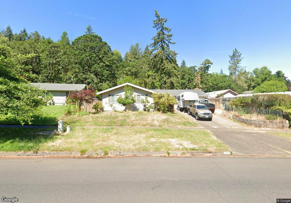
5220 Donald St Eugene, OR 97405
Southeast Eugene NeighborhoodEstimated Value: $493,520 - $509,000
3
Beds
2
Baths
1,347
Sq Ft
$372/Sq Ft
Est. Value
About This Home
This home is located at 5220 Donald St, Eugene, OR 97405 and is currently estimated at $501,380, approximately $372 per square foot. 5220 Donald St is a home located in Lane County with nearby schools including Edgewood Community Elementary School, Spencer Butte Middle School, and South Eugene High School.
Ownership History
Date
Name
Owned For
Owner Type
Purchase Details
Closed on
Jan 30, 2013
Sold by
Beard Heather A and Home Heather A
Bought by
Vanvanhouten Boz Van
Current Estimated Value
Purchase Details
Closed on
Dec 16, 2005
Sold by
Sweeney John W and Sweeney Norma J
Bought by
Home Heather A
Home Financials for this Owner
Home Financials are based on the most recent Mortgage that was taken out on this home.
Original Mortgage
$188,400
Interest Rate
6.31%
Mortgage Type
Fannie Mae Freddie Mac
Create a Home Valuation Report for This Property
The Home Valuation Report is an in-depth analysis detailing your home's value as well as a comparison with similar homes in the area
Home Values in the Area
Average Home Value in this Area
Purchase History
| Date | Buyer | Sale Price | Title Company |
|---|---|---|---|
| Vanvanhouten Boz Van | $215,000 | Multiple | |
| Home Heather A | $235,500 | Cascade Title Co |
Source: Public Records
Mortgage History
| Date | Status | Borrower | Loan Amount |
|---|---|---|---|
| Previous Owner | Home Heather A | $188,400 |
Source: Public Records
Tax History
| Year | Tax Paid | Tax Assessment Tax Assessment Total Assessment is a certain percentage of the fair market value that is determined by local assessors to be the total taxable value of land and additions on the property. | Land | Improvement |
|---|---|---|---|---|
| 2025 | $4,615 | $236,881 | -- | -- |
| 2024 | $4,558 | $229,982 | -- | -- |
| 2023 | $4,558 | $223,284 | $0 | $0 |
| 2022 | $4,270 | $216,781 | $0 | $0 |
| 2021 | $4,011 | $210,467 | $0 | $0 |
| 2020 | $4,025 | $204,337 | $0 | $0 |
| 2019 | $3,887 | $198,386 | $0 | $0 |
| 2018 | $3,659 | $186,998 | $0 | $0 |
| 2017 | $3,495 | $186,998 | $0 | $0 |
| 2016 | $3,408 | $181,551 | $0 | $0 |
| 2015 | $3,310 | $176,263 | $0 | $0 |
| 2014 | $3,244 | $171,129 | $0 | $0 |
Source: Public Records
Map
Nearby Homes
- 4734 Brookwood St
- 143 Treehill Loop Unit 143
- 296 Woodridge Dr
- 152 Treehill Loop Unit 152
- 36 Westbrook Way
- 202 Foxtail Dr
- 278 Rockridge Ct
- 21 Westbrook Way
- 17 Westbrook Way
- 4695 Fox Hollow Rd
- 223 Trailside Loop Unit 223
- 422 Stonewood Dr Unit 422
- 418 Stonewood Dr Unit 418
- 5159 Solar Heights Dr
- 765 Sprague St
- 4495 Pinecrest Dr
- 4295 Ferry St
- 365 Brae Burn Dr
- 4083 Donald St Unit A
- 892 Sprague St
- 5230 Donald St
- 380 Ventura Ave
- 360 Ventura Ave
- 111 Marlboro Ln
- 350 Ventura Ave
- 5240 Donald St
- 109 Marlboro Ln
- 115 Marlboro Ln
- 426 Ventura Ave
- 395 Ventura Ave
- 5215 Donald St
- 348 Ventura Ave
- 5250 Donald St
- 375 Ventura Ave
- 365 Ventura Ave
- 355 Ventura Ave
- 5225 Donald St
- 5195 Donald St
- 5120 Donald St
- 345 Ventura Ave
Your Personal Tour Guide
Ask me questions while you tour the home.