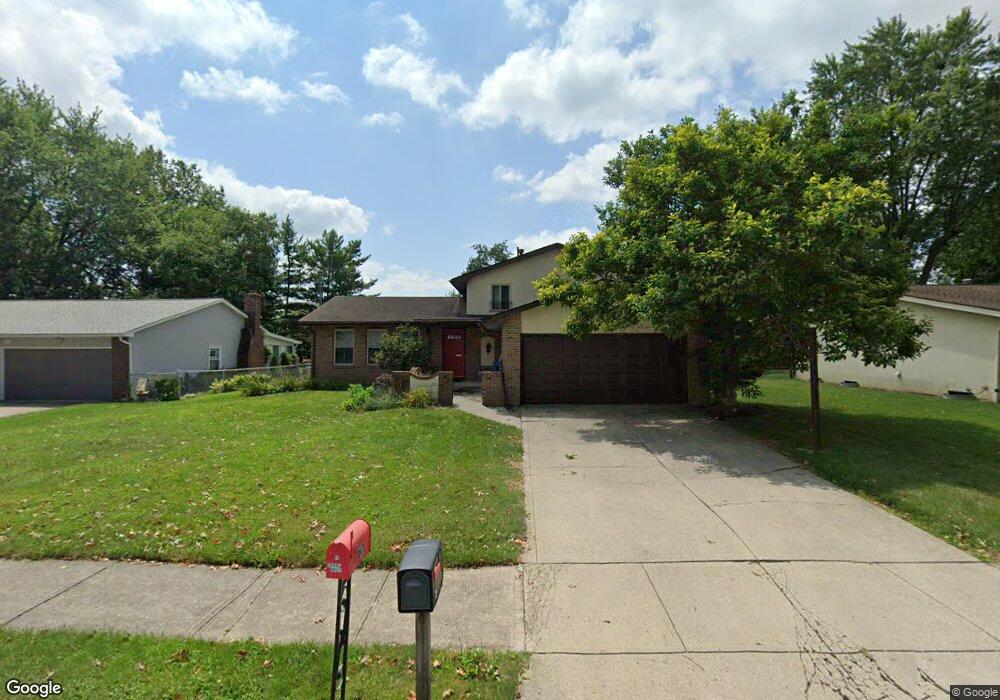
53 Carriage Dr Delaware, OH 43015
Estimated Value: $295,000 - $330,536
4
Beds
3
Baths
1,872
Sq Ft
$168/Sq Ft
Est. Value
About This Home
This home is located at 53 Carriage Dr, Delaware, OH 43015 and is currently estimated at $313,634, approximately $167 per square foot. 53 Carriage Dr is a home located in Delaware County with nearby schools including David Smith Elementary School, John C. Dempsey Middle School, and Rutherford B. Hayes High School.
Ownership History
Date
Name
Owned For
Owner Type
Purchase Details
Closed on
Oct 15, 2004
Sold by
Christerson Lynn K
Bought by
Amato Dan
Current Estimated Value
Purchase Details
Closed on
May 11, 1998
Sold by
Fortney Patrick M
Bought by
Christerson Richard A and Christerson Lynn K
Home Financials for this Owner
Home Financials are based on the most recent Mortgage that was taken out on this home.
Original Mortgage
$103,500
Interest Rate
9.75%
Mortgage Type
New Conventional
Create a Home Valuation Report for This Property
The Home Valuation Report is an in-depth analysis detailing your home's value as well as a comparison with similar homes in the area
Home Values in the Area
Average Home Value in this Area
Purchase History
| Date | Buyer | Sale Price | Title Company |
|---|---|---|---|
| Amato Dan | $107,215 | -- | |
| Christerson Richard A | $115,000 | -- |
Source: Public Records
Mortgage History
| Date | Status | Borrower | Loan Amount |
|---|---|---|---|
| Previous Owner | Christerson Richard A | $103,500 |
Source: Public Records
Tax History
| Year | Tax Paid | Tax Assessment Tax Assessment Total Assessment is a certain percentage of the fair market value that is determined by local assessors to be the total taxable value of land and additions on the property. | Land | Improvement |
|---|---|---|---|---|
| 2024 | $4,223 | $87,290 | $16,240 | $71,050 |
| 2023 | $4,231 | $87,290 | $16,240 | $71,050 |
| 2022 | $3,679 | $65,910 | $11,310 | $54,600 |
| 2021 | $3,760 | $65,910 | $11,310 | $54,600 |
| 2020 | $3,807 | $65,910 | $11,310 | $54,600 |
| 2019 | $3,410 | $53,520 | $9,840 | $43,680 |
| 2018 | $3,457 | $53,520 | $9,840 | $43,680 |
| 2017 | $3,141 | $48,030 | $9,140 | $38,890 |
| 2016 | $2,841 | $48,030 | $9,140 | $38,890 |
| 2015 | $2,857 | $48,030 | $9,140 | $38,890 |
| 2014 | $2,903 | $48,030 | $9,140 | $38,890 |
| 2013 | $2,991 | $49,220 | $9,140 | $40,080 |
Source: Public Records
Map
Nearby Homes
- 534 Supreme Ct
- 602 Heritage Blvd
- 586 Willis Ln
- 590 Willis Ln
- 592 Willis Ln
- 102 Troy Rd
- 41 Elmwood Dr
- 0 N Liberty St
- 660 Birchard Ave
- 102 W Lincoln Ave
- 675 Birchard Ave
- 687 Birchard Ave
- 297 N Franklin St
- 632 Rutherford Ave
- 76 Aldersgate Dr
- 1980 U S 23 Unit 61
- 1980 U S 23 Unit 20
- 1980 U S 23 Unit 14
- 1980 U S 23 Unit 38
- 605 Thistle Dr
Your Personal Tour Guide
Ask me questions while you tour the home.