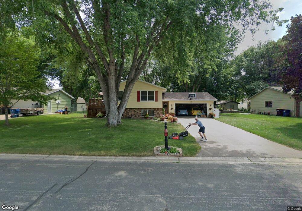
532 Thomas Ave Shakopee, MN 55379
Estimated Value: $370,000 - $387,000
4
Beds
2
Baths
1,106
Sq Ft
$343/Sq Ft
Est. Value
About This Home
This home is located at 532 Thomas Ave, Shakopee, MN 55379 and is currently estimated at $379,614, approximately $343 per square foot. 532 Thomas Ave is a home located in Scott County with nearby schools including Sweeney Elementary School, East Middle School, and Shakopee Senior High School.
Ownership History
Date
Name
Owned For
Owner Type
Purchase Details
Closed on
Oct 15, 2020
Sold by
Bartlett Richard D and Bartlett Paula
Bought by
Bartlett Paula
Current Estimated Value
Home Financials for this Owner
Home Financials are based on the most recent Mortgage that was taken out on this home.
Original Mortgage
$282,935
Outstanding Balance
$247,640
Interest Rate
2.9%
Mortgage Type
FHA
Estimated Equity
$131,974
Purchase Details
Closed on
Mar 20, 1998
Sold by
Monnens Linda J and Monnens Thomas E
Bought by
Bartlett Douglas and Bartlett Paula
Create a Home Valuation Report for This Property
The Home Valuation Report is an in-depth analysis detailing your home's value as well as a comparison with similar homes in the area
Home Values in the Area
Average Home Value in this Area
Purchase History
We collect this data history from publicly available records. To have your information removed, we recommend requesting removal directly through your county’s website.
| Date | Buyer | Sale Price | Title Company |
|---|---|---|---|
| Bartlett Paula | -- | None Available | |
| Bartlett Douglas | $126,000 | -- |
Source: Public Records
Mortgage History
We collect this data history from publicly available records. To have your information removed, we recommend requesting removal directly through your county’s website.
| Date | Status | Borrower | Loan Amount |
|---|---|---|---|
| Open | Bartlett Paula | $282,935 |
Source: Public Records
Tax History
| Year | Tax Paid | Tax Assessment Tax Assessment Total Assessment is a certain percentage of the fair market value that is determined by local assessors to be the total taxable value of land and additions on the property. | Land | Improvement |
|---|---|---|---|---|
| 2026 | $3,494 | $367,200 | $185,300 | $181,900 |
| 2025 | $3,494 | $354,200 | $185,300 | $168,900 |
| 2024 | $3,450 | $344,300 | $180,100 | $164,200 |
| 2023 | $3,616 | $328,400 | $171,600 | $156,800 |
| 2022 | $3,338 | $337,900 | $171,600 | $166,300 |
| 2021 | $2,796 | $272,800 | $136,000 | $136,800 |
| 2020 | $2,944 | $253,300 | $116,500 | $136,800 |
| 2019 | $2,890 | $236,700 | $102,000 | $134,700 |
| 2018 | $2,820 | $0 | $0 | $0 |
| 2016 | $2,600 | $0 | $0 | $0 |
| 2014 | -- | $0 | $0 | $0 |
Source: Public Records
Map
Nearby Homes
- 521 Mcdevitt St
- 1105 Apgar St S
- 1044 Scott St S
- 267 Bluestem Ave
- 187 Bluestem Ave
- 1286 Jefferson Ct
- 210 Shakopee Ave E
- 433 Braeburn Dr
- 496 Braeburn Dr
- 1213 Minnesota St S
- 1079 Monroe St S
- 1197 Jackson St S
- 291 Appleblossom Ln
- 343 Appleblossom Ln
- 1743 Presidential Ln
- 526 Hackney Ave
- 517 Appaloosa Ave
- 1038 Van Buren St S
- 1674 Palomino St
- 709 Shakopee Ave E
- 534 Thomas Ave
- 530 Thomas Ave
- 601 Hennes Ave
- 611 Hennes Ave
- 591 Hennes Ave
- 621 Hennes Ave
- 600 Thomas Ave
- 528 Thomas Ave
- 533 Thomas Ave
- 535 Thomas Ave
- 531 Thomas Ave
- 631 Hennes Ave
- 571 Hennes Ave
- 601 Thomas Ave
- 610 Thomas Ave
- 529 Thomas Ave
- 651 Hennes Ave
- 611 Thomas Ave
- 530 Mcdevitt St
- 488 Thomas Ave
Your Personal Tour Guide
Ask me questions while you tour the home.