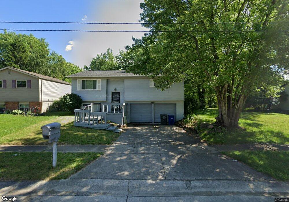
5353 Sherry Ct Columbus, OH 43232
Walnut Heights NeighborhoodEstimated Value: $226,000 - $253,000
3
Beds
2
Baths
1,400
Sq Ft
$168/Sq Ft
Est. Value
About This Home
This home is located at 5353 Sherry Ct, Columbus, OH 43232 and is currently estimated at $235,079, approximately $167 per square foot. 5353 Sherry Ct is a home located in Franklin County with nearby schools including Liberty Elementary School, Yorktown Middle School, and Independence High School.
Ownership History
Date
Name
Owned For
Owner Type
Purchase Details
Closed on
Jan 29, 1999
Sold by
Arganbright Joe D and Arganbright Judith D
Bought by
Mcgaughy Andrea L
Current Estimated Value
Home Financials for this Owner
Home Financials are based on the most recent Mortgage that was taken out on this home.
Original Mortgage
$82,822
Outstanding Balance
$19,620
Interest Rate
6.75%
Mortgage Type
FHA
Estimated Equity
$215,459
Purchase Details
Closed on
Oct 6, 1995
Sold by
Gardner Gerald W
Bought by
Robert L Parrish
Home Financials for this Owner
Home Financials are based on the most recent Mortgage that was taken out on this home.
Original Mortgage
$50,000
Interest Rate
7.91%
Mortgage Type
New Conventional
Create a Home Valuation Report for This Property
The Home Valuation Report is an in-depth analysis detailing your home's value as well as a comparison with similar homes in the area
Home Values in the Area
Average Home Value in this Area
Purchase History
| Date | Buyer | Sale Price | Title Company |
|---|---|---|---|
| Mcgaughy Andrea L | $82,900 | Esquire Title | |
| Robert L Parrish | $44,000 | -- |
Source: Public Records
Mortgage History
| Date | Status | Borrower | Loan Amount |
|---|---|---|---|
| Open | Mcgaughy Andrea L | $82,822 | |
| Previous Owner | Robert L Parrish | $50,000 |
Source: Public Records
Tax History Compared to Growth
Tax History
| Year | Tax Paid | Tax Assessment Tax Assessment Total Assessment is a certain percentage of the fair market value that is determined by local assessors to be the total taxable value of land and additions on the property. | Land | Improvement |
|---|---|---|---|---|
| 2024 | $2,851 | $63,530 | $19,220 | $44,310 |
| 2023 | $2,815 | $63,530 | $19,220 | $44,310 |
| 2022 | $1,901 | $36,650 | $6,130 | $30,520 |
| 2021 | $1,904 | $36,650 | $6,130 | $30,520 |
| 2020 | $1,907 | $36,650 | $6,130 | $30,520 |
| 2019 | $1,875 | $30,910 | $5,110 | $25,800 |
| 2018 | $1,762 | $30,910 | $5,110 | $25,800 |
| 2017 | $1,874 | $30,910 | $5,110 | $25,800 |
| 2016 | $1,820 | $27,480 | $5,220 | $22,260 |
| 2015 | $1,652 | $27,480 | $5,220 | $22,260 |
| 2014 | $1,657 | $27,480 | $5,220 | $22,260 |
| 2013 | $908 | $30,520 | $5,775 | $24,745 |
Source: Public Records
Map
Nearby Homes
- 5377 Bleaker Ave
- 5278 Glenbriar Ct
- 2730 Raphael Dr
- 5401 Spire Ln
- 2744 Barrows Rd
- 5373 Spire Ln
- 2736 Barrows Rd
- 2991 Blue Moon Dr
- 2651 Brownfield Rd
- 2705 Denmark Rd
- 2998 Osgood Rd E
- 3148 Aldgate St
- 3198 Gallant Dr
- 5268 Carbondale Dr
- 5011 Refugee Rd
- 5882 Abernathy Ln Unit 5882F
- 5125 Upton Rd N
- 3057 Lamptonridge Dr
- 5936 Abernathy Ln
- 5938 Abernathy Ln
- 5347 Sherry Ct
- 5371 Sherry Ct
- 2882 Falcon Bridge Dr
- 5358 Adderley Ave
- 5377 Sherry Ct
- 5350 Adderley Ave
- 2886 Falcon Bridge Dr
- 5366 Adderley Ave
- 5364 Sherry Ct
- 5356 Sherry Ct
- 5370 Sherry Ct
- 5372 Adderley Ave
- 2858 Falcon Bridge Dr
- 5342 Adderley Ave
- 5385 Sherry Ct
- 5378 Sherry Ct
- 2890 Falcon Bridge Dr
- 5378 Adderley Ave
- 5334 Adderley Ave
- 2865 Falcon Bridge Dr