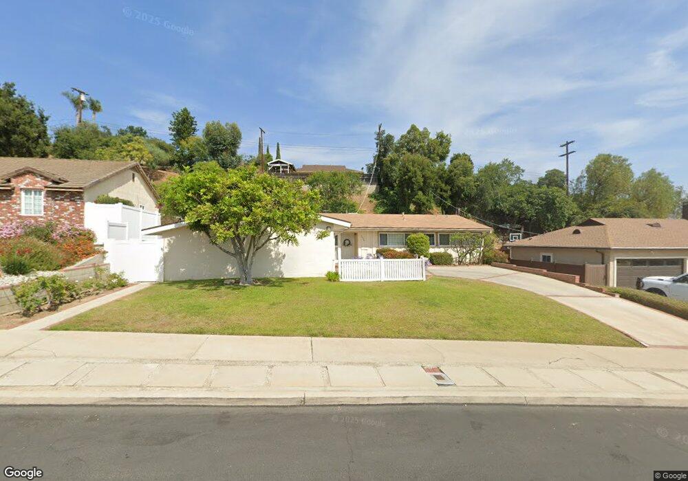
5428 Wameda Ave Los Angeles, CA 90041
Eagle Rock NeighborhoodEstimated Value: $1,249,376 - $1,628,000
4
Beds
2
Baths
1,456
Sq Ft
$1,005/Sq Ft
Est. Value
About This Home
This home is located at 5428 Wameda Ave, Los Angeles, CA 90041 and is currently estimated at $1,462,844, approximately $1,004 per square foot. 5428 Wameda Ave is a home located in Los Angeles County with nearby schools including Dahlia Heights Elementary, Eagle Rock High School, and PUC CALS Middle School and Early College High.
Ownership History
Date
Name
Owned For
Owner Type
Purchase Details
Closed on
Feb 9, 2021
Sold by
Pamela Jane Toth Revocable Living Trust
Bought by
Thomas Wameda Property Trust and Toth
Current Estimated Value
Purchase Details
Closed on
Jun 12, 2017
Sold by
Toth Pamela J and Booth Family 1985 Trust A
Bought by
Toth Pamela J and Toth Pamela Jane
Purchase Details
Closed on
Jun 23, 2010
Sold by
Booth Harriet M and Booth Family 1985 Trust
Bought by
Booth Harriet M and Booth Family 1985 Trust A
Create a Home Valuation Report for This Property
The Home Valuation Report is an in-depth analysis detailing your home's value as well as a comparison with similar homes in the area
Home Values in the Area
Average Home Value in this Area
Purchase History
| Date | Buyer | Sale Price | Title Company |
|---|---|---|---|
| Thomas Wameda Property Trust | -- | None Listed On Document | |
| Toth Pamela J | -- | None Available | |
| Booth Harriet M | -- | None Available |
Source: Public Records
Tax History Compared to Growth
Tax History
| Year | Tax Paid | Tax Assessment Tax Assessment Total Assessment is a certain percentage of the fair market value that is determined by local assessors to be the total taxable value of land and additions on the property. | Land | Improvement |
|---|---|---|---|---|
| 2025 | $1,598 | $107,073 | $40,419 | $66,654 |
| 2024 | $1,598 | $104,975 | $39,627 | $65,348 |
| 2023 | $1,573 | $102,917 | $38,850 | $64,067 |
| 2022 | $1,509 | $100,900 | $38,089 | $62,811 |
| 2021 | $1,485 | $98,923 | $37,343 | $61,580 |
| 2020 | $1,494 | $97,910 | $36,961 | $60,949 |
| 2019 | $1,446 | $95,991 | $36,237 | $59,754 |
| 2018 | $6,567 | $530,888 | $378,143 | $152,745 |
| 2016 | $1,187 | $90,458 | $34,149 | $56,309 |
| 2015 | $1,171 | $89,101 | $33,637 | $55,464 |
| 2014 | $1,186 | $87,357 | $32,979 | $54,378 |
Source: Public Records
Map
Nearby Homes
- 1300 Blue Hill Rd
- 0 Maemurray Dr
- 5219 Lunsford Dr
- 5130 Loleta Ave
- 1515 Colorado Blvd
- 1440 Holbrook St
- 1691 Hill Dr
- 1325 Linda Rosa Ave
- 5031 Townsend Ave
- 1200 Saginaw St
- 5150 Argus Dr
- 4879 Hartwick St
- 4984 Vincent Ave
- 4890 Floristan Ave
- 4989 Vincent Ave
- 1480 Glengarry Rd
- 4841 Minden Place
- 410 Coutin Ln
- 2541 Sleepy Hollow Dr
- 4764 Wiota St
- 5422 Wameda Ave
- 5436 Wameda Ave
- 1112 Arbor Dell Rd
- 1106 Arbor Dell Rd
- 1118 Arbor Dell Rd
- 5414 Wameda Ave
- 5444 Wameda Ave
- 1124 Arbor Dell Rd
- 1100 Arbor Dell Rd
- 5429 Wameda Ave
- 5435 Wameda Ave
- 5421 Wameda Ave
- 1130 Arbor Dell Rd
- 5443 Wameda Ave
- 5454 Wameda Ave
- 5415 Wameda Ave
- 1391 Hill Dr
- 1385 Hill Dr
- 1385 Hill Dr
- 1136 Arbor Dell Rd