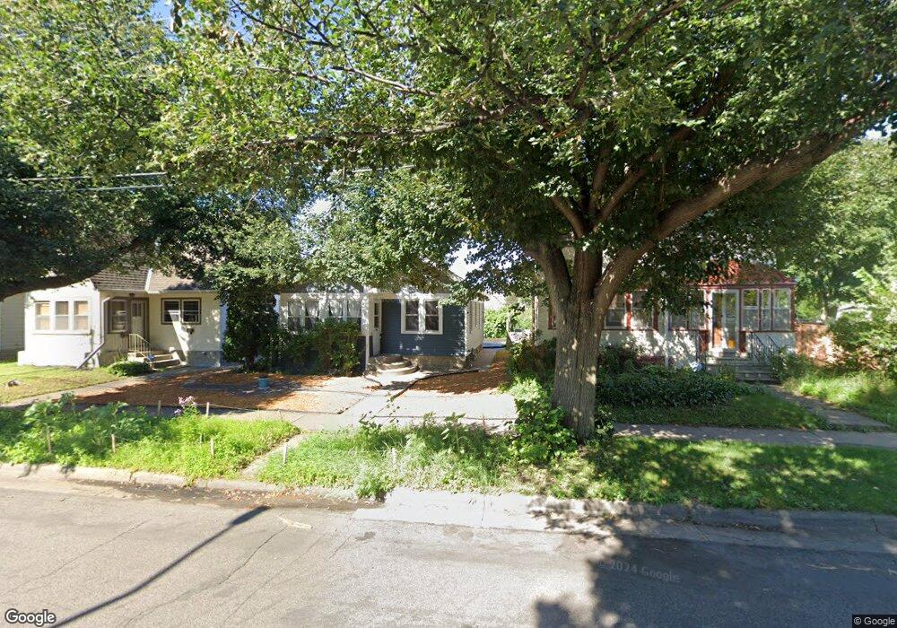
559 Pascal St N Saint Paul, MN 55104
Hamline-Midway NeighborhoodEstimated Value: $212,000 - $302,000
2
Beds
1
Bath
540
Sq Ft
$462/Sq Ft
Est. Value
About This Home
This home is located at 559 Pascal St N, Saint Paul, MN 55104 and is currently estimated at $249,498, approximately $462 per square foot. 559 Pascal St N is a home located in Ramsey County with nearby schools including Hancock/Hamline Magnet Elementary School, Murray Middle School, and Como Park Senior High School.
Ownership History
Date
Name
Owned For
Owner Type
Purchase Details
Closed on
Jan 14, 2015
Sold by
Federal Home Loan Mortgage Corporation
Bought by
Madden Randi
Current Estimated Value
Home Financials for this Owner
Home Financials are based on the most recent Mortgage that was taken out on this home.
Original Mortgage
$102,999
Interest Rate
3.75%
Mortgage Type
FHA
Purchase Details
Closed on
Aug 21, 2014
Sold by
Halland Shaun T
Bought by
Federal Home Loan Mortgage Corporation
Purchase Details
Closed on
Apr 30, 2003
Sold by
Dean Margaret
Bought by
Tonda Thomas A
Create a Home Valuation Report for This Property
The Home Valuation Report is an in-depth analysis detailing your home's value as well as a comparison with similar homes in the area
Home Values in the Area
Average Home Value in this Area
Purchase History
| Date | Buyer | Sale Price | Title Company |
|---|---|---|---|
| Madden Randi | -- | Gibraltar Title | |
| Federal Home Loan Mortgage Corporation | -- | None Available | |
| Tonda Thomas A | $25,500 | -- | |
| Dean Margaret | $26,500 | -- |
Source: Public Records
Mortgage History
| Date | Status | Borrower | Loan Amount |
|---|---|---|---|
| Previous Owner | Madden Randi | $102,999 | |
| Closed | Dean Margaret | -- |
Source: Public Records
Tax History
| Year | Tax Paid | Tax Assessment Tax Assessment Total Assessment is a certain percentage of the fair market value that is determined by local assessors to be the total taxable value of land and additions on the property. | Land | Improvement |
|---|---|---|---|---|
| 2025 | $3,040 | $250,100 | $35,000 | $215,100 |
| 2023 | $3,040 | $207,400 | $35,000 | $172,400 |
| 2022 | $2,814 | $218,800 | $35,000 | $183,800 |
| 2021 | $2,646 | $188,600 | $35,000 | $153,600 |
| 2020 | $2,654 | $184,400 | $35,000 | $149,400 |
| 2019 | $2,512 | $174,200 | $35,000 | $139,200 |
| 2018 | $2,182 | $164,300 | $35,000 | $129,300 |
| 2017 | $1,674 | $150,300 | $17,300 | $133,000 |
| 2016 | $1,726 | $0 | $0 | $0 |
| 2015 | -- | $125,400 | $17,300 | $108,100 |
| 2014 | $2,220 | $0 | $0 | $0 |
Source: Public Records
Map
Nearby Homes
- 1501 Sherburne Ave
- 1428 Sherburne Ave
- 1481 Blair Ave
- 1657 Edmund Ave
- 1437 Englewood Ave
- 429 Fry St
- 442 Pierce St N
- 389 Roy St N
- 1239 Sherburne Ave
- 715 Fry St
- 382 Fry St
- 1495 Carroll Ave
- 1681 Van Buren Ave
- 1606 Concordia Ave
- 1210 Van Buren Ave
- 435 Herschel St
- 1666 Hubbard Ave
- 1759 Van Buren Ave
- 1756 Minnehaha Ave W
- 1191 Minnehaha Ave W
- 555 Pascal St N
- 565 Pascal St N
- 551 Pascal St N
- 569 Pascal St N
- 1470 Edmund Ave
- 1467 Charles Ave
- 1474 Edmund Ave
- 1456 Edmund Ave
- 1471 Charles Ave
- 1457 Charles Ave
- 1475 Charles Ave
- 1478 Edmund Ave
- 1454 Edmund Ave
- 573 Pascal St N
- 1453 Charles Ave
- 1479 Charles Ave
- 1482 Edmund Ave
- 1450 Edmund Ave
- 577 Pascal St N
- 1483 Charles Ave
Your Personal Tour Guide
Ask me questions while you tour the home.