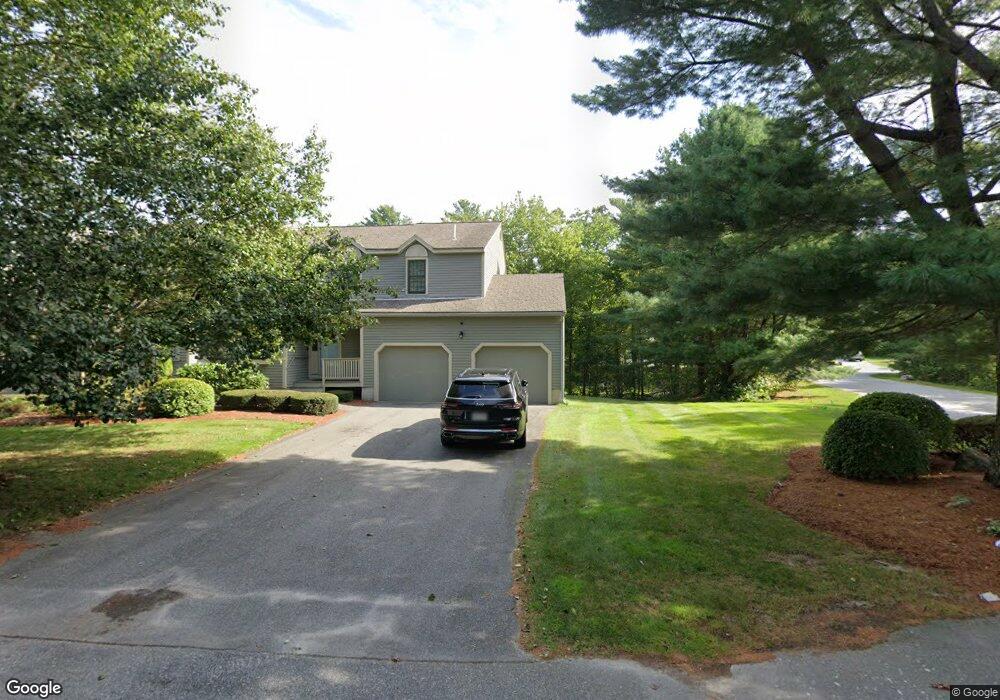
56 Quince Landing Franklin, MA 02038
Estimated Value: $583,000 - $716,000
2
Beds
5
Baths
1,960
Sq Ft
$322/Sq Ft
Est. Value
About This Home
This home is located at 56 Quince Landing, Franklin, MA 02038 and is currently estimated at $630,595, approximately $321 per square foot. 56 Quince Landing is a home located in Norfolk County with nearby schools including Remington Middle School, Franklin High School, and Benjamin Franklin Classical Charter Public School.
Ownership History
Date
Name
Owned For
Owner Type
Purchase Details
Closed on
Nov 9, 2015
Sold by
Wicker Lyle T
Bought by
Wicker Ft and Wicker Lyle T
Current Estimated Value
Purchase Details
Closed on
Jul 8, 1987
Sold by
Marguerite Patrick
Bought by
Wicker Lyle T
Home Financials for this Owner
Home Financials are based on the most recent Mortgage that was taken out on this home.
Original Mortgage
$153,100
Interest Rate
10.71%
Mortgage Type
Purchase Money Mortgage
Create a Home Valuation Report for This Property
The Home Valuation Report is an in-depth analysis detailing your home's value as well as a comparison with similar homes in the area
Home Values in the Area
Average Home Value in this Area
Purchase History
| Date | Buyer | Sale Price | Title Company |
|---|---|---|---|
| Wicker Ft | -- | -- | |
| Wicker Lyle T | -- | -- | |
| Wicker Lyle T | $195,900 | -- |
Source: Public Records
Mortgage History
| Date | Status | Borrower | Loan Amount |
|---|---|---|---|
| Previous Owner | Wicker Lyle T | $25,000 | |
| Previous Owner | Wicker Lyle T | $153,100 |
Source: Public Records
Tax History Compared to Growth
Tax History
| Year | Tax Paid | Tax Assessment Tax Assessment Total Assessment is a certain percentage of the fair market value that is determined by local assessors to be the total taxable value of land and additions on the property. | Land | Improvement |
|---|---|---|---|---|
| 2025 | $6,197 | $533,300 | $0 | $533,300 |
| 2024 | $6,075 | $515,300 | $0 | $515,300 |
| 2023 | $5,758 | $457,700 | $0 | $457,700 |
| 2022 | $5,945 | $423,100 | $0 | $423,100 |
| 2021 | $5,693 | $388,600 | $0 | $388,600 |
| 2020 | $5,266 | $362,900 | $0 | $362,900 |
| 2019 | $5,242 | $357,600 | $0 | $357,600 |
| 2018 | $4,849 | $331,000 | $0 | $331,000 |
| 2017 | $4,196 | $287,800 | $0 | $287,800 |
| 2016 | $4,237 | $292,200 | $0 | $292,200 |
| 2015 | $4,237 | $285,500 | $0 | $285,500 |
| 2014 | $3,899 | $269,800 | $0 | $269,800 |
Source: Public Records
Map
Nearby Homes
- 55 Quince Landing
- 54 Quince Landing
- 53 Quince Landing
- 53 Quince Landing Unit 53
- 53 Quince Landing Unit 53,14
- 32 Quince Island Rd
- 31 Quince Island Rd
- 30 Quince Island Rd
- 29 Quince Island Rd
- 29 Quince Island Rd Unit 4
- 52 Quince Landing
- 51 Quince Landing
- 50 Quince Landing
- 49 Quince Landing
- 36 Quince Landing
- 35 Quince Landing
- 34 Quince Landing
- 33 Quince Landing
- 34 Quince Landing Unit 34
- 76 Highbank Rd